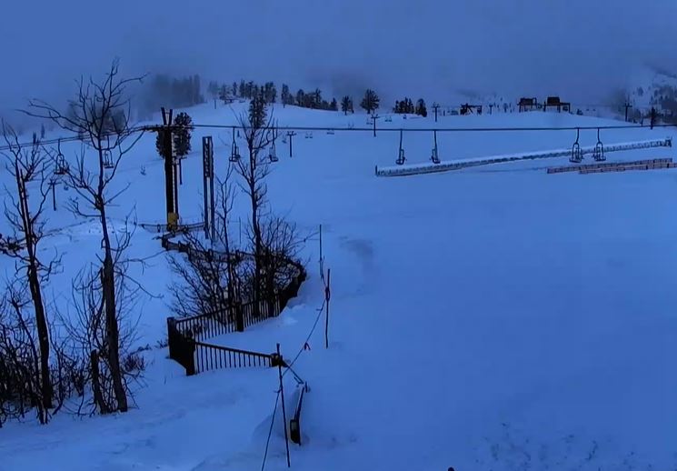
Snowfall Report:
We definitely saw more than the 8 inches being reported by mountain ops fall on the mountain on Sunday. The report from the base of Alpine is 13 inches which makes a lot more sense, and so does the 8 inches in the village. So I’m using the Alpine number for the storm totals.
The 8-13 inches that fell Sunday brings the 2-day storm total to 11 inches in the village and 23 inches on the upper mountain! The season total is already at 388 inches, and we are not even halfway through our average season length yet!
Monday:
Clearing with mostly sunny skies and cold Monday. Highs in the 20s for the upper mountain and 30s for the base. Brisk northeast winds gusting up to 30-40+ mph up top. That will make it feel even colder.
Tuesday – Thursday:
Mostly sunny skies with a few clouds possible through Thursday as high pressure builds in over CA. Highs warming into the 30s for the upper mountain and 40s for the base. Lighter winds are expected.
Friday- Saturday System:
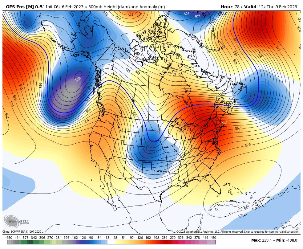
There has been a big shift on all of the models with the storm track for the storm moving towards the West Coast for the weekend. The last few days most models had the storm tracking south off the coast and missing or brushing us.
Today, the models now all show the storm moving inland to our north Friday night into Saturday and brushing us with some light snow. We could start the day with partly sunny skies Friday and highs in the 30s. We could see increasing clouds and winds through the day as the storm approaches the coast, with ridgetop gusts from the southwest up to 50-60+ mph by afternoon.
Then later Friday into Friday night we could see some snow showers move in that could last into Saturday. The models only show very light precip amounts through Saturday right now. It will stay cold into Saturday with some gusty winds still hanging around most likely.
With the big shift in the track on the models over the past 24 hours, I’d like to watch them for another day before attempting any snowfall forecasts. If they still show light precipitation Tuesday morning, I may have to put out a forecast for a few inches of snow by Saturday afternoon.
Long-Range:
We may see a break in the storms Sunday into next Monday the 13th, but staying somewhat cold behind the Saturday system.
Then by the 14th through the 3rd week of February, the long-range models continue to show the ridge building in the northeast Pacific and a trough digging in over the West. But they are trending towards the ridge being closer to the West Coast and the trough being centered to our east, with CA in between.
The storms could continue to dive in from the north-northwest through the 3rd week of February, a drier track than we were hoping for with the ridge now forecast to be a bit closer to the coast. The long-range models now keep us near to below average for precipitation during the 3rd week of February, with the expectation that the storms moving through are cold and weak.
We’ll continue to watch the trends as we get closer.
BA