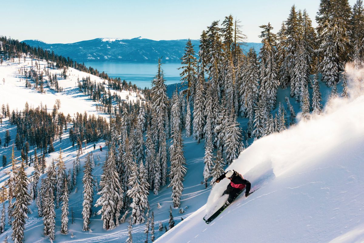
Winter has officially found its rhythm at Palisades Tahoe. After fresh snow earlier this week and a stretch of clear, cold weather settling in, conditions ...
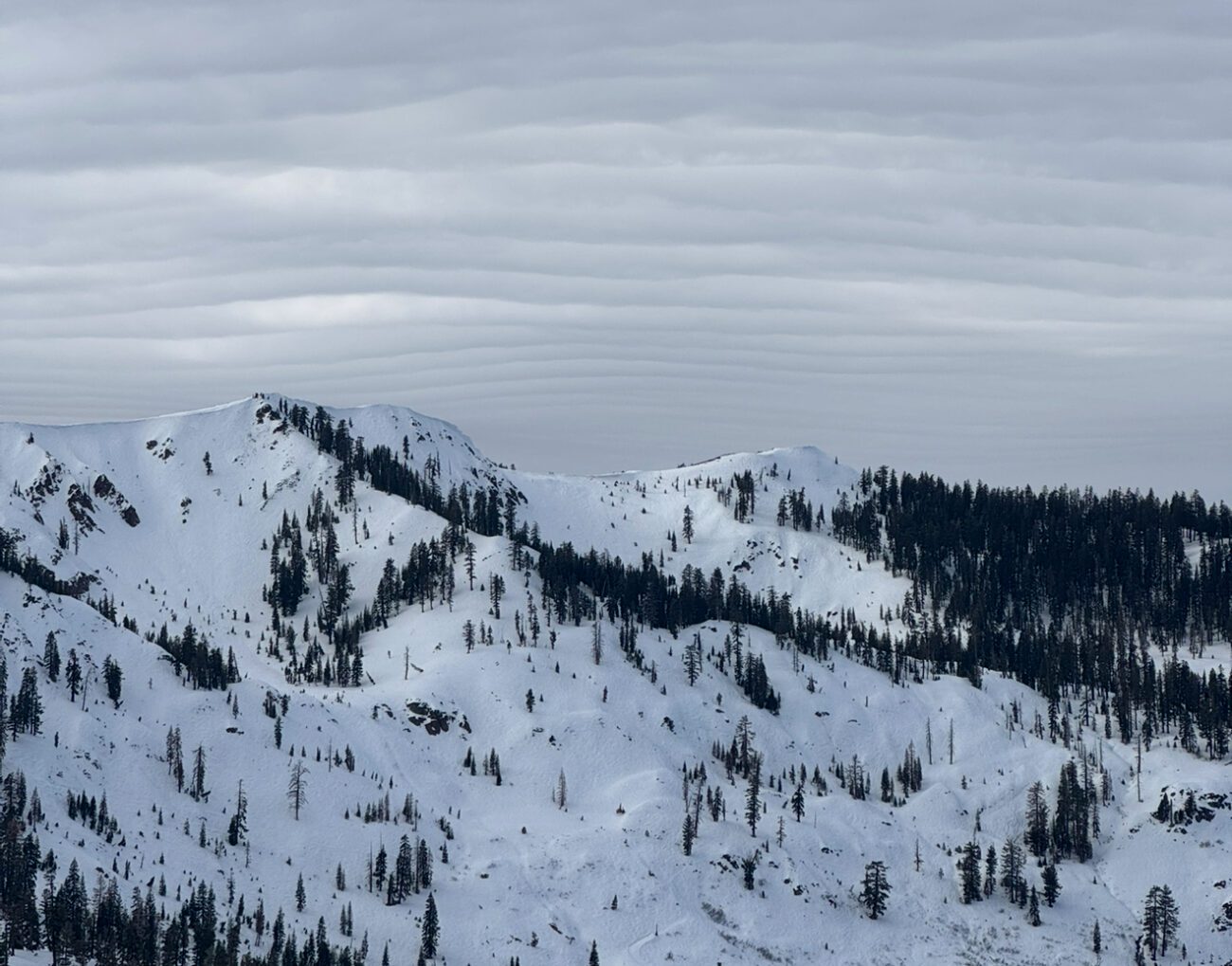
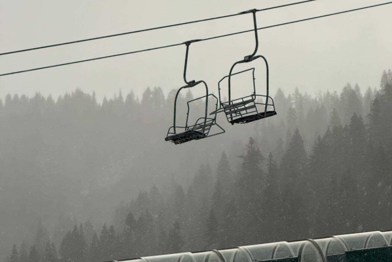
Crews are continuing to expand terrain as conditions and avalanche mitigation work allow. KT-22 Express, Scott, and Resort Chair are scheduled for Tuesday, 12/30 (conditions ...
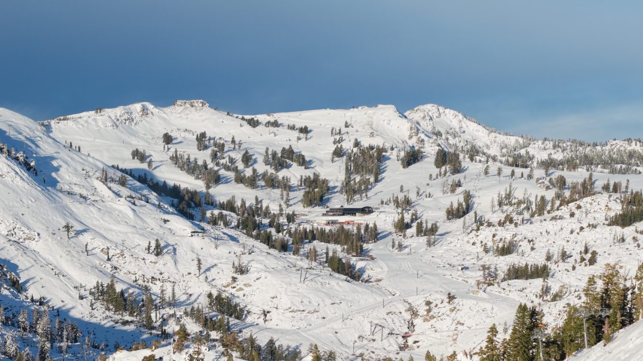
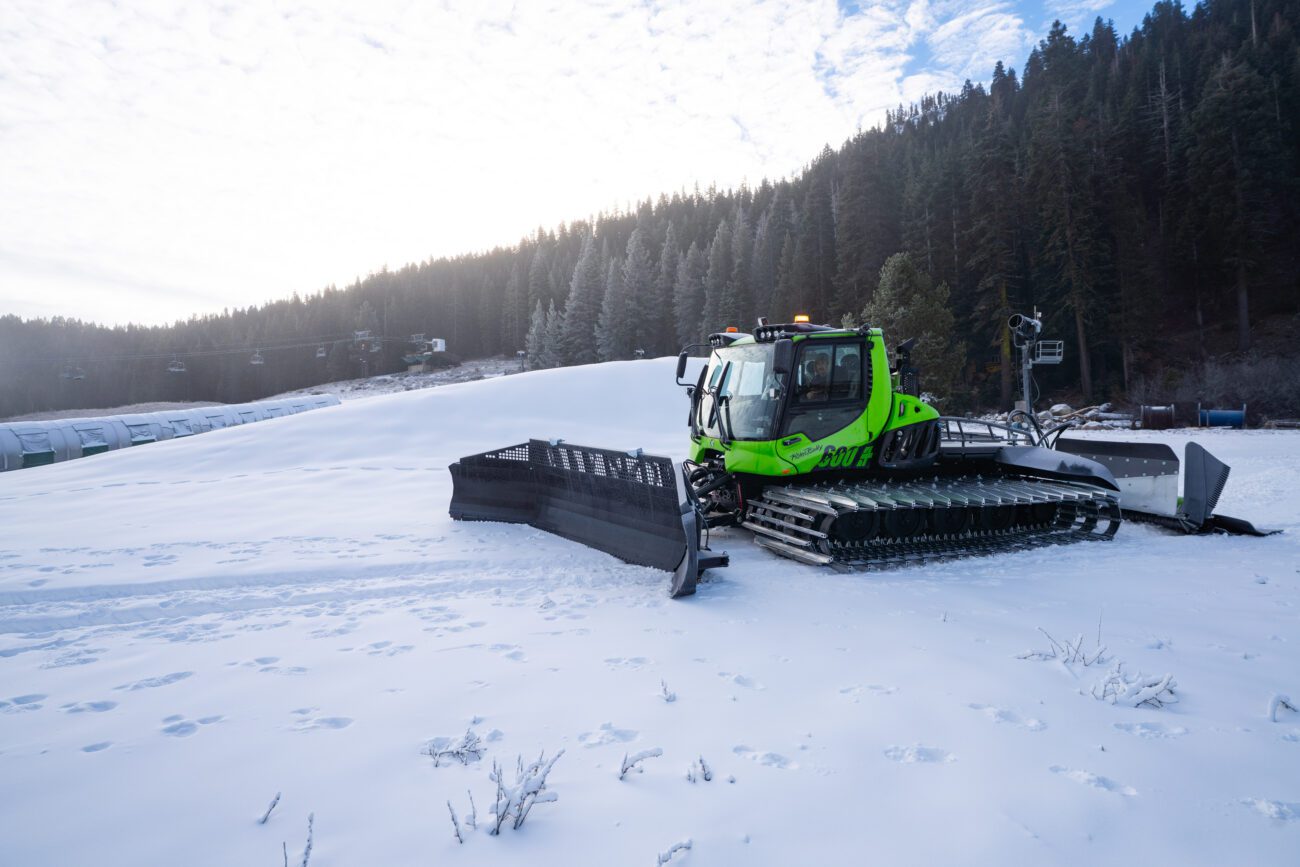
For the latest operations update, including new terrain and mountain ops, check out our most recent update from 12/25 The Monday storm delivered top-to-bottom snowfall, ...
We’re expanding terrain for the weekend with two more chairlifts officially joining the lineup. Starting Friday, Exhibition Chair will spin to its mid-station, and First ...
Tahoe Live returns this weekend with three nights of live music in The Village at Palisades Tahoe. Whether you’re visiting for the show, spending time ...