Wednesday – Thursday:
We have cloudy skies Wednesday morning, but the winds have finally dropped over the ridges. There is a stalled front draped to our north and a system spinning near the CA coast. That will continue to bring us some clouds Wednesday into Thursday. Likely a better chance for partly sunny skies on Thursday.
We could see a scattered shower or two on both days with these systems nearby. Highs in the 30s to near 40 degrees near the base. Only a dusting of snow is expected if we see any snow showers.
Friday Weather:
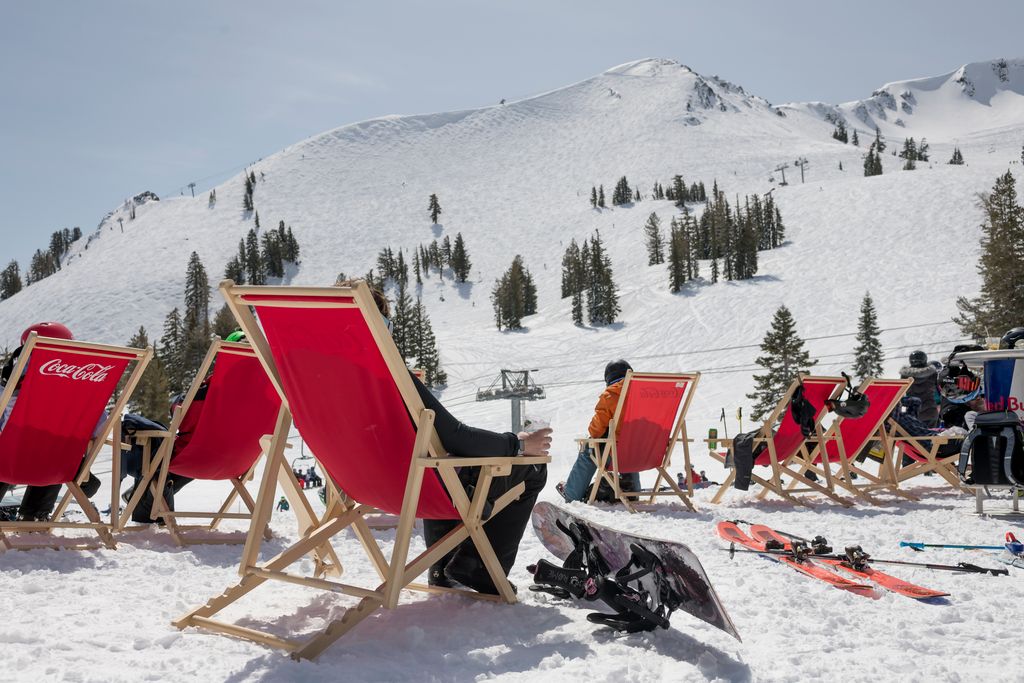
Friday weak high pressure builds in over CA briefly bringing a drier day with mostly sunny skies. Highs into the 30s on the upper mountains and 40s for the lower elevations near the base.
Weekend Weather:
We are going to see 3 troughs try to dig into northern CA Saturday through Tuesday. That will bring 3 weakening systems that will try to reach the northern Sierra but will be losing moisture by the time they do. The first one moves through northern CA Saturday afternoon-evening.
We may see more clouds and winds than precipitation from this system. We may start the day with partly sunny skies. Then increasing clouds and winds with ridgetop winds gusting up to 50-60+ mph, maybe a bit higher over the exposed ridges which could close a few upper mountain lifts. Highs in the 30s to near 40 degrees at the base.
The latest model runs show very little precipitation reaching the northern Sierra. Snow levels may stay above 7000 ft. with a few rain showers possible below that. The wettest models only show 1-2 inches of snow at best on the upper mountain, but maybe only a dusting of snow.
Sunday we clear out briefly with partly sunny skies. Highs in the 30s to near 40 degrees at the base. But the winds may continue to be gusty as the next storm approaches. Ridgetop winds from the southwest up to 50-60+ mph. Light precipitation from the next system could reach the northern Sierra Sunday night.
Monday – Tuesday Storms:
The latest model runs disagree on how far south both the Monday and Tuesday systems dig with the steadier precipitation. The Monday system looks like it could be weaker with a better chance of some steadier precipitation Tuesday.
But they could both trend drier with the troughs struggling to dig into CA. We should expect some showers on both days with some colder air and highs in the 30s. Gusty winds continue but could be a bit lighter on Monday and then possibly up to 70-80+ mph over the ridges on Tuesday. Snow levels look to be lower, down near to below the base.
We could see up to a few inches of snow with the Monday system, and possibly a bit more Tuesday. We’ll continue to watch the trends and these systems will be in the 5-day forecast window on Thursday, so I’ll put out my first detailed snowfall forecast.
Drier Pattern:
High pressure is still forecast to start building in over the West Coast next Wednesday bringing us a drier pattern. We could see a prolonged period of sunny days and eventually milder temperatures into the 50s for the lower elevations by mid-month.
Long-Range Forecast:
The long-range models show the ridge sitting over the West through the 3rd week of March, with no storms showing up until we get into the last week of the month. The ensemble mean models show well below average precipitation through the 3rd week of March because most models are completely dry.
We’ll continue to watch the trends. This could be our longest dry spell of the season. Even though we had low snowfall during the first half of the season, we were seeing weak systems pretty consistently and warm systems with rain. I don’t remember having an entire week or more without a storm in the forecast until now.
We’ll continue to watch the trends to see if that changes. There are some signs that the pattern could shift during the last week of the month allowing some storms into CA.
BA


