Tuesday Weather:
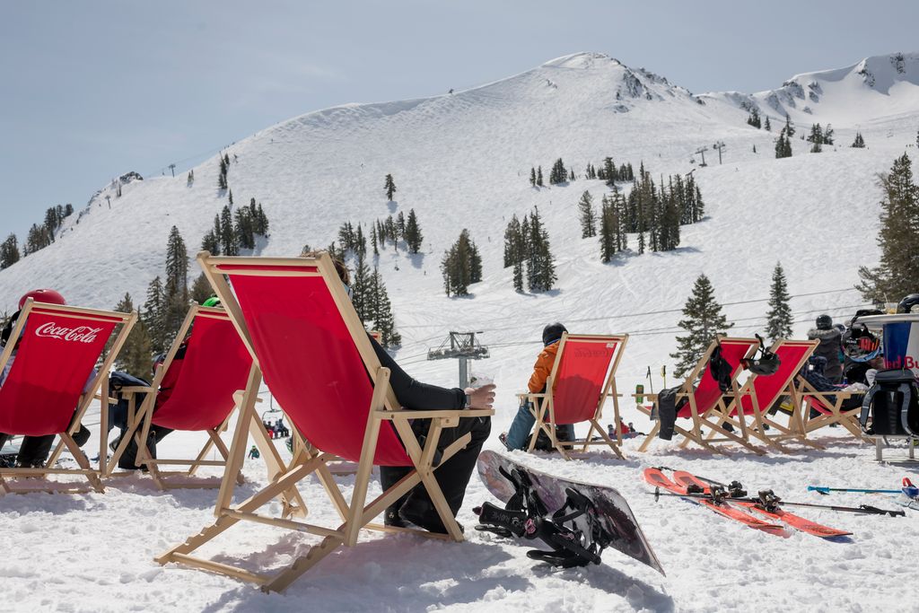
We are in our final day of the dry and mild pattern Tuesday. We’ll see partly sunny skies along with milder temperatures. Highs into the 50s for the lower elevations and 40s for the upper mountains.
Wednesday – Friday Storm:
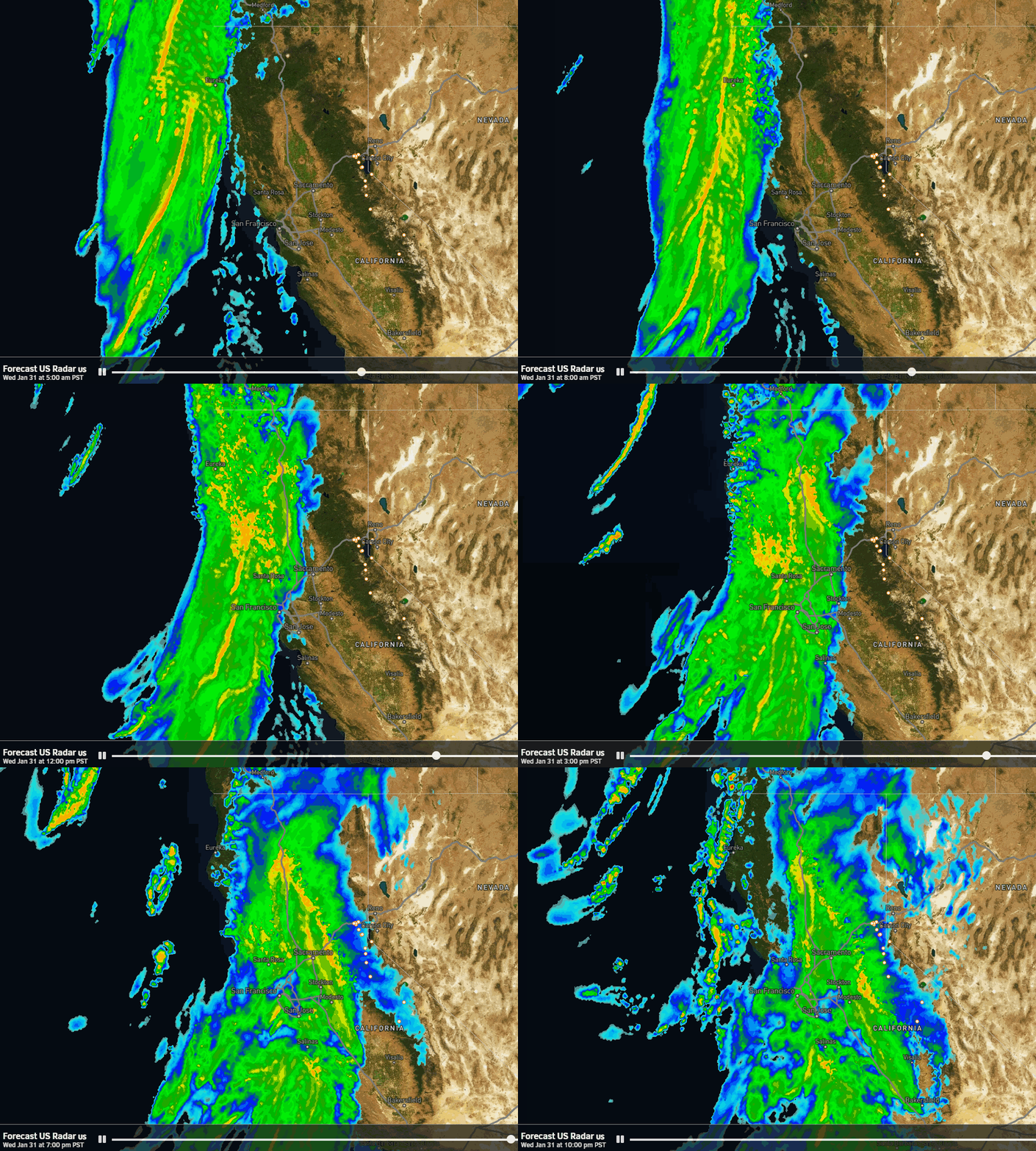
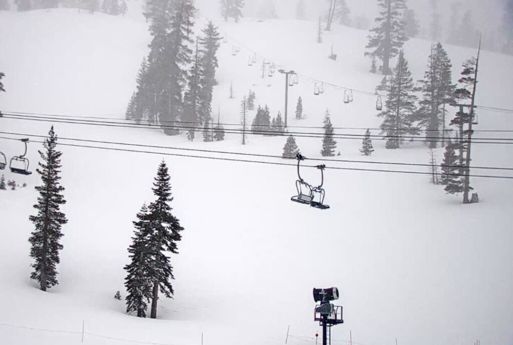
No big changes with the details of the next storm moving in later Wednesday, other than to trend the precipitation totals back down to where they were previous to Monday’s forecast. We will see increasing clouds and winds Wednesday, with southerly winds gusting up to 80-90+ mph over the exposed ridges, likely closing some upper mountain lifts. Highs in the 40s for the lower elevations.
A few showers could reach the mountain during the afternoon, but most of the precipitation holds off until Wednesday evening. The heaviest precipitation falls after midnight into Thursday morning, with showers Thursday afternoon that could linger all the way to Friday evening with the moist flow as low pressure hangs around the West Coast.
Snow levels still look to start around 7000-7500 ft. Wednesday evening, and then fall overnight into Thursday morning. They could reach the base after midnight during the early morning hours on Thursday and drop even lower into Thursday night. Highs in the 20s on the mountain and low 30s for the base, with similar temperatures for Friday with the winds dropping on Thursday.
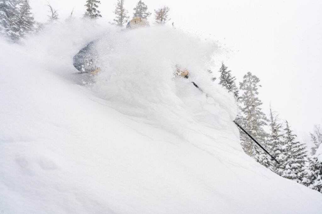
We could see 2-day storm totals of around 5-10 inches at the base by Friday night, 10-15 inches above 7000 ft., and up to 18 inches on the upper mountain. Most of that snow is expected to fall by Thursday night with denser snow, and then a few inches of drier lighter density snow possible with the snow showers Thursday night through Friday.
Saturday:
We should see partly sunny skies between storms on Saturday. It should be a pretty nice day for skiing. Highs into the 20s up on the mountain and low 30s down near the base.
Sunday – Monday Storm:
Most of the forecast models are still tracking the next storm far enough north for steady snow to move back in during the day on Sunday and continuing into Monday. The base of the trough and the jet stream are to the south and if the low isn’t drawn far enough north most of the precipitation could fall to our south into the central and southern Sierra.
The latest model runs show around 2-3 inches of liquid falling over the mountain by Tuesday morning, which would bring us around 2-3 feet of snow if the forecasts hold. Snow levels look to stay below the base. Hopefully, the heavier precipitation falls this far north as most of the models are showing, but a few are tracking the storm farther south.
This storm is still outside of the 5-day forecast window, so I’ll have more details on potential snowfall starting Wednesday morning. We’ll continue to watch the trends over the next few days, and we’ll hope that we can get a bigger snowstorm as the majority of the models are still showing.
Long-Range:
Another wave could drop in from the north next Tuesday keeping the snow showers going. The cold trough is still forecast to remain over the southwest through the 9th. The best chance for the highest precipitation totals over the period is likely over the southwest, with possibly just weak systems and snow showers for us beyond Monday.
The long-range models continue to show high pressure starting to build over CA around the 10th through mid-month. That could bring us a drier and slightly milder pattern. We’ll continue to watch the long-range to see when the next active pattern could arrive later in the month.
BA


