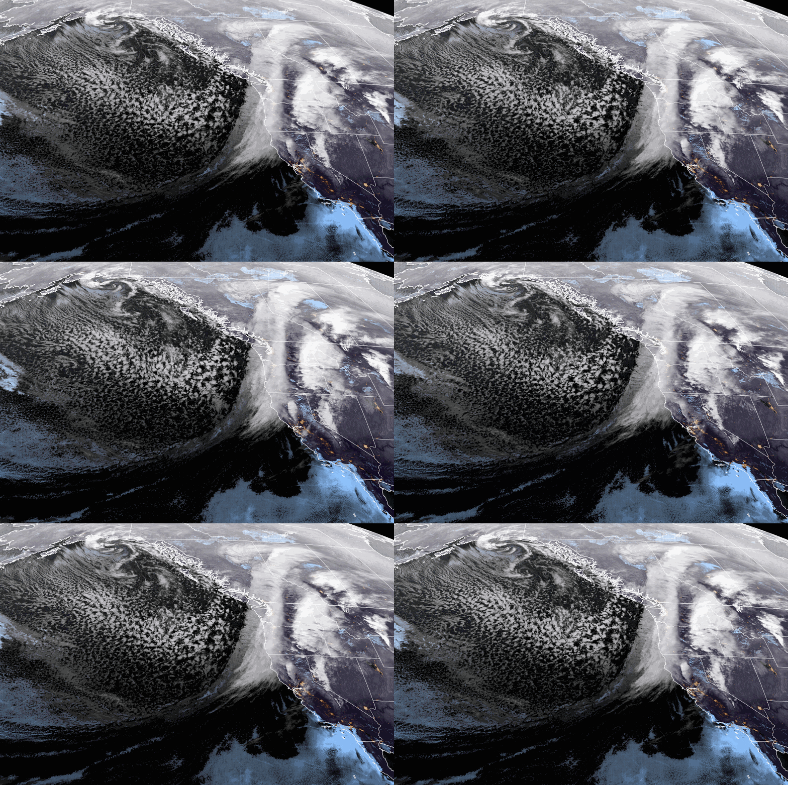
I don’t usually do lengthy and extremely detailed posts like I do over on my site at OpenSnow, as it makes the posts very long, and most prefer a more summarized forecast. But with the strong storm that is hitting us through Sunday, I think a longer post is warranted today.
Timing:
Snow showers are starting to move in Thursday morning. They will continue to fill in through the day and the intensity will pick up through the afternoon with heavier snow expected Thurday night into Friday, with a surge of some of the heaviest snow Friday night.
The moist flow off of the Pacific will continue through Saturday with snow of varying intensity moving through. The latest forecast model runs are now keeping the snow showers going through Sunday and not clearing until Monday.
Winds & Temperatures:
Ridgetop winds Thursday morning are already gusting up to 80+ mph and will continue to increase through Thursday afternoon. Gusts over 100 mph are expected through Friday. The latest model runs now continue ridgetop winds up to 80-90+ mph Saturday morning and 70-80+ mph into the afternoon. Then 50-60+ mph from the west-southwest into Sunday.
That means we will see a lot of lift closures through Friday, and possibly an entire mountain closure Friday from the heavy snow and blizzard conditions. It now looks like the winds on Saturday could keep some upper mountain lifts closed. Sunday should improve some but gusty winds could continue over the exposed ridges.
Temperatures are in the 30s Thursday morning and will drop into the 20s Thursday night. Highs in the 20s for the upper mountain and near 30 degrees at the base on Friday. Then only in the 20s for the weekend and teens on the tallest peaks. The strong winds will make it feel much colder than the air temperatures.
Total Precipitation:
I have extended the storm forecasts through Sunday based on the trend on the latest model runs to keep snow showers going. The European model is diminishing the snow by afternoon while other models like the GFS keep snow showers going into Sunday night. That is part of the reason the models have trended wetter. But overall they have trended wetter which is crazy because they already had huge totals!
The hurricane hunter aircraft have been flying into the storm off of the coast and sending real-time data to the forecast models. Yesterday’s mission was directed by OpenSnow’s own Dr. Jay Cordeira. The measurements they take can cause them to trend down or up as they get better data, and they have been trending up.
This morning they have a range of 6 – 8.5 inches of total precipitation falling over the mountain through Sunday night, with the GFS model showing up to 11 inches!
Snow Levels & Snow Ratios:
Freezing levels are above 7000 ft. Thursday morning, so as lighter precipitation starts to move in we could see a little rain near 6000 ft. near the base. As the heavier precipitation moves in through the afternoon and freezing levels fall to between 6500-7000 ft, we will see the snow levels drop near to below the base. Then continuing to drop well below the base through the weekend.
Snow ratios start low on Thursday with wet snow near the base as it starts. Then they could average 10-17:1 between the base up to 9000 ft. into Friday, and increasing even more Friday night as the next round of heavier snow arrives. That means Friday night we should see the highest snowfall accumulations as the colder air combines with the heaviest precipitation rates.
Snow ratios could average around 15-20:1 Saturday into Sunday which is powdery snow that will help to fluff the snowfall totals. Unfortunately, we may not be able to ski much of it until later Saturday after digging out and roads open, or maybe not until Sunday or Monday if the winds are still too gusty up top. Hopefully, they drop enough on Sunday to get the mountain fully open.
Total Snowfall:
The snow will be accumulating in feet through Saturday and several inches are possible Sunday. A vague breakout could be around 1.5 – 3 feet by Friday morning, an additional 2-4 feet by Saturday morning, another 1-2 feet by Sunday morning, and several more inches by Monday morning, for totals of 5 – 9+ feet by Monday morning from the base up to the top.
- Base – 5-6+ feet in total by Monday morning.
- Mid-Mountain – 6-8 feet by Monday morning.
- Up Top – 7-9+ feet by Monday morning.
Monday – Tuesday Weather:
The latest model runs have backed off on the idea of snow showers for Monday and Tuesday. We could see parlty-mostly sunny skies and lighter winds. Highs into the 20s for the upper elevations and 30s for the lower elevations. A good couple of days to clean up from the storm and to enjoy the deeper snowpack.
Long-Range Forecast:
The long-range models continue to show the next storm moving in around the middle of next week, maybe for Wednesday into Thursday. This is the storm that we will be focused on once we get through the weekend. It won’t be nearly as strong as the inbound storm, but it could bring a decent shot of snow to the mountain. We’ll continue to watch the trends.
There is still decent agreement that we could see weak high-pressure build in by the end of the week into Saturday the 9th bringing us a break in the storms. A final cold trough and storm is possible around the 10th-11th, and then we may trend toward a drier pattern into mid-month. We’ll be watching the trends on that as well.
BA


