

Thursday Weather:
Thursday is a nice day with partly sunny skies and highs in the 40s.
Friday Storm:
The latest model runs show precipitation moving in around 10 AM – 11 AM on Friday, with a period of heavier precipitation as the front moves through during the afternoon, and then showers possible into the evening before clearing out. Ridgetop winds gusting up to 80-100+ mph will likely close some upper mountain lifts.
The snow levels look to start around 7000-7500 ft. late morning on Friday and fall below 5000 ft. by evening. That means a little rain to start at the base and then snow at some point during the afternoon, and snow showers into the evening.
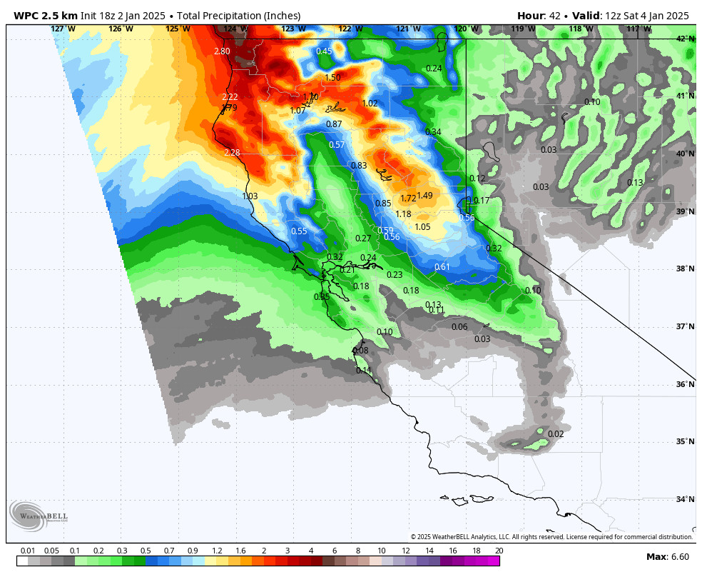
By early Saturday morning, we could measure snowfall totals of around 2-5 inches at the base, 4-8 inches near mid-mountain, and 5-10 inches up top.
The Weekend:
The weather looks nice for the weekend. Mostly sunny skies and lighter winds with highs in the 30s for Saturday and warming into the 40s for the lower elevations on Sunday.
Long-Range Forecast:
No changes to the forecast for next week as strong high pressure is still forecast to be over the West Coast blocking storms. That pattern is still forecast to last through the 2nd week of January.
The ridge is forecast to weaken and shift just off the coast a little beyond the 10th, which could allow a weak system or some showers in from the north, but overall we are expecting a very dry pattern for the West Coast after Friday.
We’ll keep an eye out for any systems that try to sneak in, but right now we expect most days to be sunny with highs in the 30s and 40s. We’ll likely start to see overnight inversions with some valley fog and warmer temps at night for the higher elevations.
The pattern could start to shift beyond mid-month, we’ll be keeping a close eye on that.
BA
