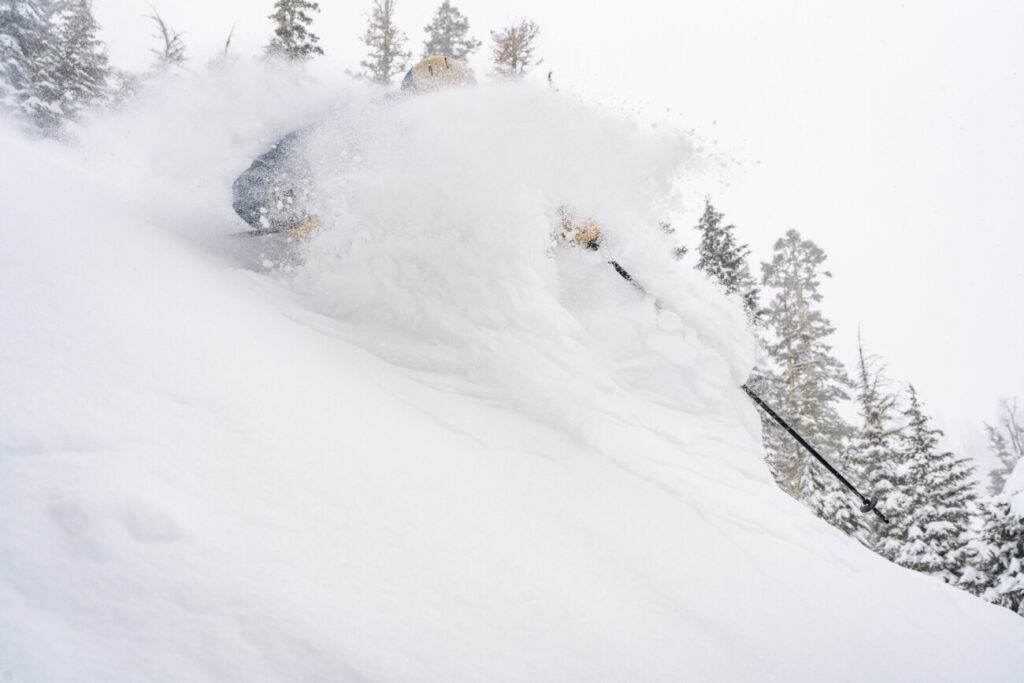
Palisades Tahoe Logo Palisades Tahoe Logo Palisades Tahoe Logo
Explore
  • Explore Palisades Tahoe
  • Our New Name
  • Explore Legendary Lifts
  • Palisades Tahoe Blog
  • About Lake Tahoe
  • About Us
Plan Your Visit
  • Tickets & Passes
  • Lodging
  • Lessons & Guides
  • Deals & Packages
  • Rentals & Demos
  • Travel Here
  • Getting Around
Mountain Information
  • Snow and Weather
  • Lift and Grooming Status
  • Webcams
  • Hours of Operation
  • Trail Maps
  • Parking & Road Conditions
  • Snowfall Tracker
Events & Activities
  • Events Calendar
  • Activities
  • Dining & Apres
  • Shopping
  • Things To Do In Lake Tahoe
  • Groups, Meetings & Weddings
  • Ski & Snowboard Teams
IKON PASS HOLDER LODGING DISCOUNT

Ikon Pass holders save up to 25% on slopeside lodging at The Village at Palisades Tahoe.

SLOPESIDE LODGING
Icon / FlashCreated with Sketch.
View All Offers
  • Weather

Sunny Weekend, Then More Snow Next Week

  • Dec 17, 2021
  • 8:46 am

Storm Totals:

The mountain received an additional 3 inches of snow in the past 24 hours bringing the 6-day total to 78 inches or over 6 feet!
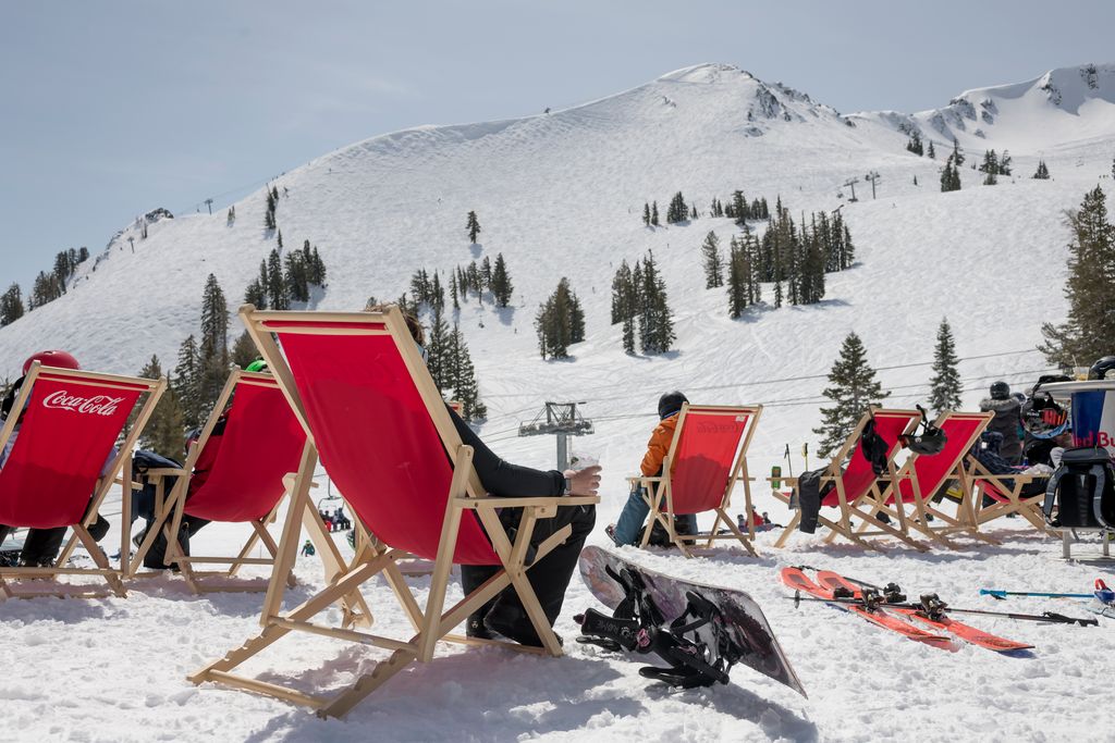
The Weekend:

High pressure builds in over CA Friday into Saturday with mostly sunny skies through Sunday. Highs into the 30s and near 40 degrees at the base. Lighter winds through Saturday, and then Sunday southwest winds increase with gusts up to 60+ mph up top, which could affect some upper mountain lifts.

Monday – Tuesday:

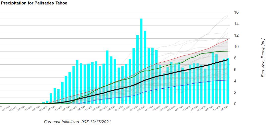
Next week the forecast models are still struggling with the timing and details of the storms. But the good news is that the storm door is open as another deep trough digs down over the West Coast.

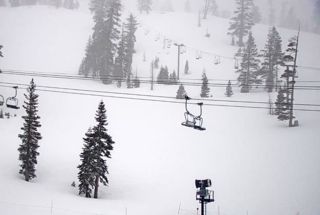
Low-pressure will be spinning off the coast directing a plume of moisture at northern CA by Monday night, but with the southerly flow and position of the trough, the precipitation looks to stay to our West through Monday night, and possibly Tuesday day as well. So we may just see a dry and windy day with some clouds both days. A better chance for some sun Monday. Southerly winds could gust up to 70+ mph up top, possibly affecting some upper mountain lifts.

Tuesday Night – Wednesday Storm:

By Tuesday night into Wednesday night, the storm could push into the Sierra with rain and snow. The forecast models are all over the place with total precipitation totals through Wednesday night. Snow levels could stay just above the base through Wednesday night. Taking the average of the latest model runs, we could see 10-20+ inches on the mountain above 7000 feet by Thursday morning, and possibly rain or a mix at the base.

We will be tracking this storm closely with better details on timing and the potential snowfall amounts as we get closer.

Long-Range:

The storm door looks to stay open, with another storm possible for next Thursday into Christmas Eve, and another storm possible for Christmas day into the 26th. These storms look colder.

More storms could continue to move into northern CA through the end of the month. Stay tuned for more details on each as they get closer!

BA

lake tahoe weather palisades tahoe weather forecast snowfall forecast
Bryan Allegretto
Bryan Allegretto

Share this article:

Recent Posts

  • Weather ·
  • May 26, 2022·

Colder with Unsettled Weather for Memorial Day Weekend

It’s the last weekend of the season and we could see a few flakes fall on the mountain! Thursday –…
Read more
  • Weather ·
  • May 17, 2022·

Quick Cooldown Thu-Fri, Then Milder Weather

A cool trough moves through Thursday – Friday. Highs dip down into the 60s at the base Thursday and 50s…
Read more
  • Weather ·
  • May 11, 2022·

After 15″ of Snow, A Return to Spring

Snowfall Report: We have had a cold and wintry first half of the week with several systems that rotated through…
Read more

Social

Instagram Twitter Facebook Youtube

Contact

   Email Us
   1.800.403.0206

Our Partners

U.S. Forest Service Logo
1960 Squaw Valley Road
Olympic Valley, CA 96146

©2022 Palisades Tahoe

Alterra Mountain Company
  • Privacy Policy
  • Terms of Service
  • Photo Upload Terms of Use
  • Accessibility
Menu
  • Privacy Policy
  • Terms of Service
  • Photo Upload Terms of Use
  • Accessibility