

Friday – Saturday Clouds & Showers:
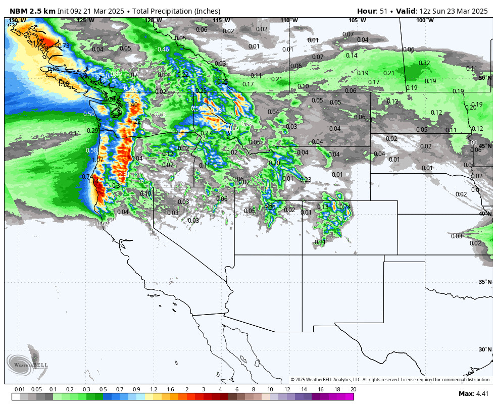
There is not much showing up on the radar for precipitation early Friday morning but the latest forecast model runs continue to show the chance for a few showers Friday and possibly a shower or two Saturday. Very little precipitation is expected to reach this far south.
Other than that clouds with some sun with highs in the 30s for the higher elevations and 40s for the lower elevations. Ridgetop winds from the west gusting up to 40-60+ mph on Friday and lighter for Saturday. Snow levels around 7000-7500 ft. under any showers.
Sunday – Wednesday Ridge:
High pressure strengthens over the region Sunday into Wednesday. That will bring us sunny days with highs into the 50s for the higher elevations and 60s for the lower elevations near the base. Wednesday the winds may increase by afternoon as the pattern starts to shift.
Pattern Change:
By Thursday the pattern shifts with a large eastern Pacific trough pushing in over the West Coast opening the door to storms and cooler air.
The first storm moves in Thursday into next Friday the 28th. It’s too early to look at details as we are 7-8 days away, but currently, the operational models show a weak/moderate system. If it tracks far enough south it could get interesting with some accumulating snowfall. We’ll be watching closely over the next week.
Long-Range Forecast:
The long-range models continue to show the pattern possibly becoming fairly stationary into the first week of April, with the trough hanging around the West Coast through at least the 4th.
We could see another decent storm around the 1st, with the chance for weak systems through the 4th-5th. The ensemble mean models continue to show a wetter pattern for the Pacific NW down into the northern Sierra.
We’ll continue to watch the trends.
BA
