

Wednesday Weather:
Partly sunny for Wednesday with increasing clouds and winds later in the day as the next storm is approaching the coast. Highs in the 30s for the higher elevations and 40s for the lower elevations. Ridgetop winds are light during the morning and then increase, gusting up to 50-70+ mph from the SW by evening.
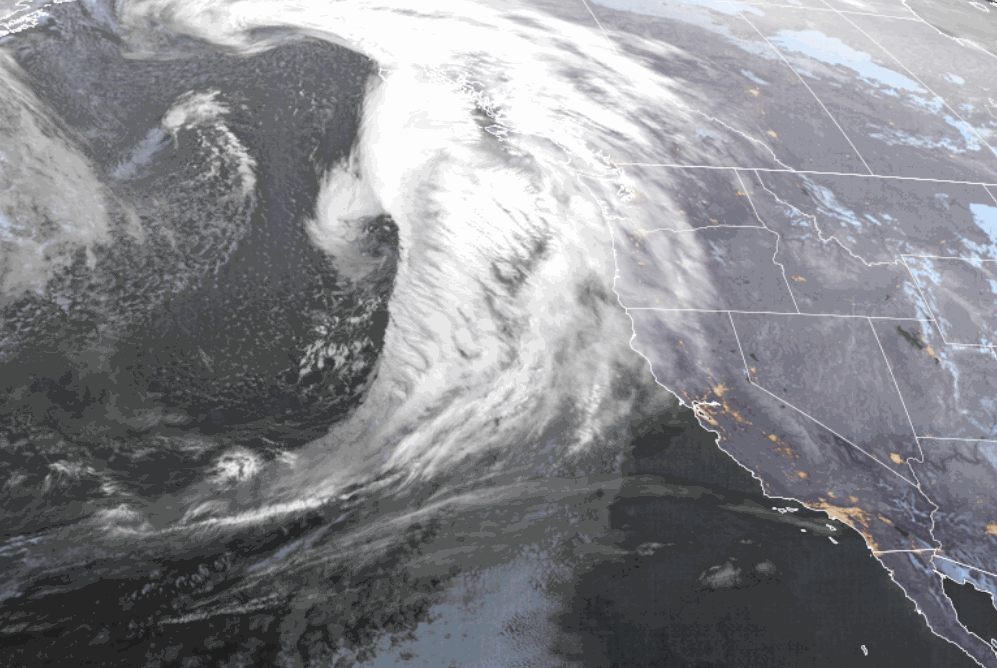
Wednesday Night Quick Coating:
We are going to get a quick shot of snow showers Wednesday night as we catch the southern edge of the weakening front as it sweeps through the region. We could see snow showers move in between 7-10 PM and then sweep through and clear the area before 5 AM.
Snow levels start near the base around 6000-6500 ft. and fall to 4000-4500 ft. by early Thursday morning behind the front. By early Thursday morning, we could see a dusting to an inch of snow at the base and 1-2 inches up top.
Thursday – Saturday:
Behind the storm, we’ll see a flat ridge with storms continuing to move through just to our north through the Pacific NW. That will keep temperatures on the cooler side with some clouds moving through at times. But overall partly-mostly sunny each day. Highs in the 30s for the higher elevations and 40s for the lower elevations.
Sunday – Tuesday:
Sunday through Tuesday high pressure strengthens and amplifies over the region with a clearer and warmer pattern expected. Highs warming into the 50s for the lower elevations on Sunday and then the 60s for Monday and Tuesday. Around 4 degrees colder for every 1000 ft. you go up in elevation.
Long-Range Forecast:
By the 27th the ridge is weakening and shifting east with a large trough starting to push into the West Coast. The latest long-range model runs are coming into fairly good agreement that we could see lower heights and troughing over the West Coast through the end of the month and into the 1st week of April.
That is going to bring in cooler air with 30s and 40s for highs likely again, and it will open the storm door. The only issue is that it is spring with a weaker jet stream and typically weaker systems. But we could see several weaker systems move through northern CA during the last 4-5 days of the month through at least the first 3-4 days of April.
Typically the way we see bigger storms this late in the season is from low-pressure systems becoming closed lows and breaking off from the west-east steering winds of the jet stream, and slowly moving through the region. The European model continues to flirt with this idea around the end of the month into the first day or two of April.
We’ll continue to watch the trends with what appears to be an extended active pattern starting around the end of next week. Maybe we can pull off a late-season dump of snow?
BA
