Wednesday Snow:
We have winds from the southwest winds gusting up to 70-80+ mph over the ridges as of Wednesday morning with temperatures in the 40s at the base and 30s on the upper mountain.
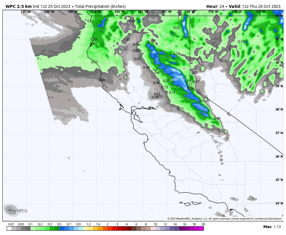
Rain and snow showers start to move in from the north around midday, with the heaviest precipitation expected with the front Wednesday afternoon and showers possible into Wednesday night before clearing out by Thursday morning.
Colder air with and behind the front will drop snow levels from around 8000 ft. at the start to around 7000 ft. pretty quickly Wednesday afternoon, and then close to the base by late afternoon/evening. Especially with any heavier bursts of precipitation we could see snow levels drop a bit faster.
We could see 0-2 inches of snow at the base depending on the snow levels, and 1-5 inches on the mountain, with the highest amounts expected above 8000 ft.
Thursday – Weekend:
We will see a reinforcing shot of colder air for the weekend with highs remaining in the 40s at the base and 30s on the upper mountain, with mostly sunny skies expected each day through Sunday.
Long-Range:
By Monday into Halloween, high pressure is forecast to build over the West Coast. That will bring some milder temperatures with highs warming into the 50s at the base and 40s for the upper mountain.
During the 1st week of November, the long-range models are suggesting low pressure could set up in the northeastern Pacific with a storm track into the Pacific NW.
They are showing most of the storms staying to our north, but barely, so we could get brushed later next week and beyond. We’ll keep an eye on the storm tracks. Overall, the ensemble mean models show above-average precipitation for the Pacific NW and northern CA, with the northern Sierra just south on the southern edge.
BA


