Snowfall Report:
An additional 2 inches of snow fell on the mountain in the past 24 hours as of 5 AM Thursday. That brings the 2-day total to 3 inches, and the March total to 172 inches and counting!
Thursday Snow Showers:
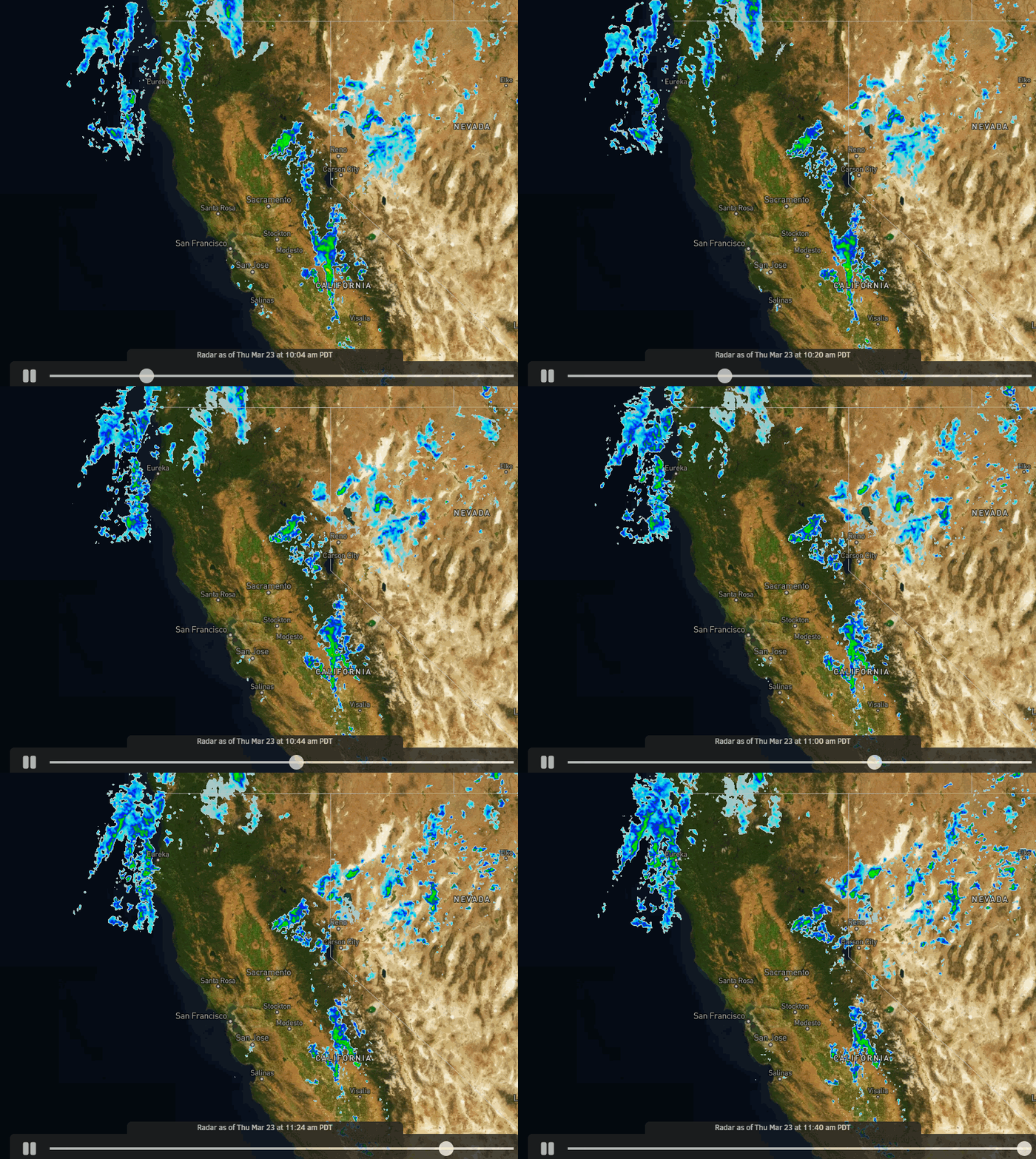
Another weak system moves through Thurday with snow showers into Thursday night. Highs in the 20s up top and 30s at the base. Ridgetop winds from the southwest increase up to 40-50+ mph by afternoon, possibly affecting some upper mountain lifts.
By Friday morning we could see additional snowfall amounts of:
- 2-6 inches at the base.
- 3-7 inches at mid-mountain elevations.
- 4-8 inches up top.
Weekend Snow Showers:
Parlty-mostly sunny skies Friday through the weekend with some scattered snow showers possible. Highs in the 20s up top and 30s at the base, along with lighter winds. Only expecting a dusting to an inch of snow on the mountain each day at best.
Monday – Wednesday Storm:
We could see increasing clouds and winds Monday, with snow moving in between late afternoon-evening. The snow could be heavy at times through Tuesday. Then snow showers Tuesday night that possibly linger into the day on Wednesday.
Highs remain in the 20s up top and 30s at the base. Snow levels stay well below the base throughout the storm. Higher snow ratios on the mountain with fairly dry/powdery snow are expected. Ridgetop winds from the southwest gusting up to 50-60+mph by Monday afternoon. Strong winds into Tuesday before falling into Wednesday.
By Thursday morning we could see total snowfall amounts of:
- 16-23 inches at the base.
- 20-26 inches at mid-mountain elevations.
- 23-29 inches up top.
Long-Range:
The long-range models continue to trend toward high-pressure building near the West Coast by the 31st through the 1st weekend of April. We could see a few scattered snow showers, but overall the forecast is looking fairly dry with nice weather for the WinterWonderGrass Festival from 3/31-4/2.
We’ll continue to watch the trends to see if they continue to be toward a drier pattern. Beyond the 2nd the long-range models suggest that we could trend back toward an unsettled pattern through the 7th of April.
BA


