Snowfall Report:
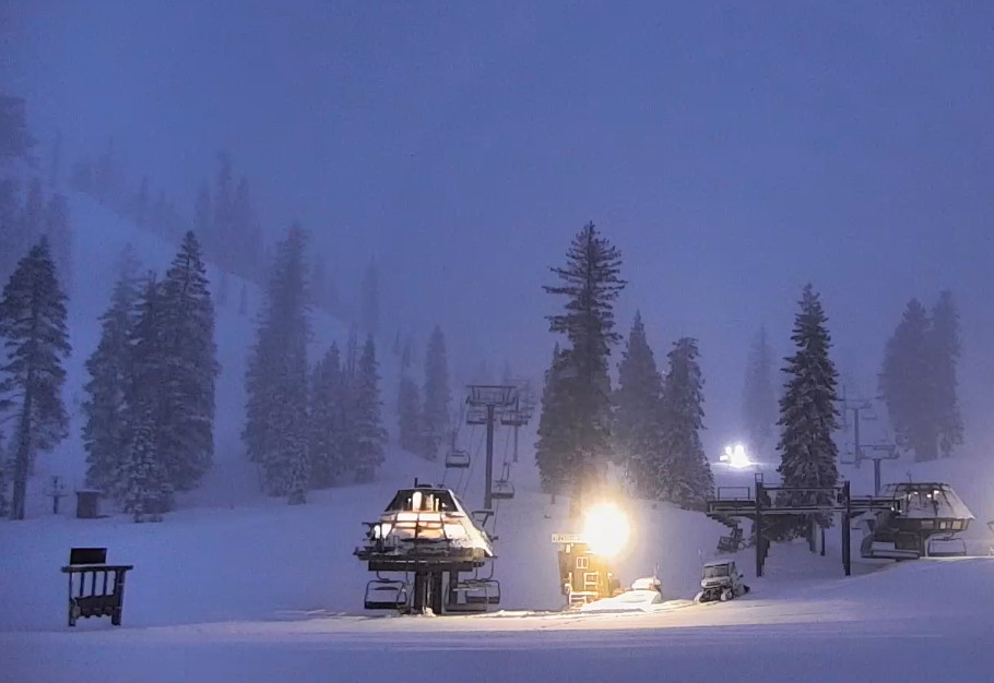
2 inches of new snow at the base and 6 inches up top as of 5 AM as the snow continues to fall.
That’s less than expected overnight as the colder air was slower to push in, but it is Monday morning which will increase the snow ratios with faster accumulations. But overall we’ll likely end up with the lower end of the snowfall forecast.
Monday Snow Showers:
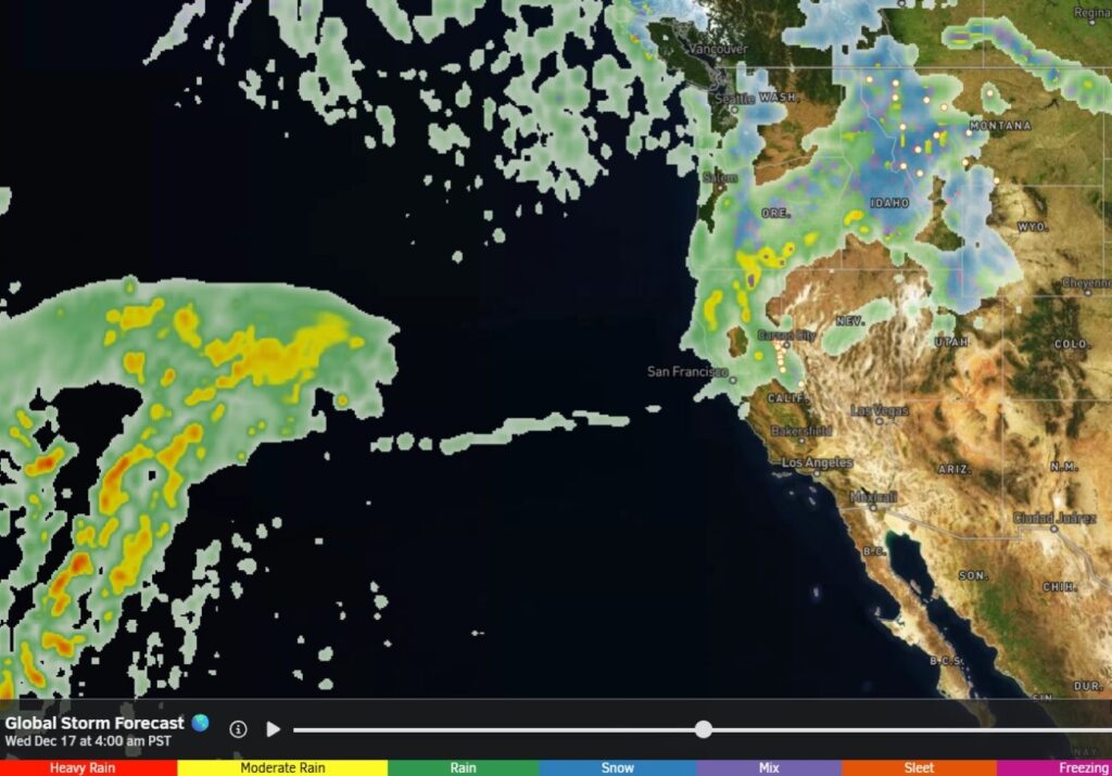
Snow with the cold front is still moving through as of 6 AM Monday morning. Behind the front colder air will filter into the region during the day and the winds will continue to drop. Highs in the 30s for the lower elevations and 20s for the higher elevations. Ridgetop winds from the west gusting up to 30-50+ mph through most of the day.
The center of the low-pressure system spinning near the coast Monday morning will move east into the Sierra during the day continuing the light-moderate snow showers through the afternoon. Then scattered snow showers diminish Monday evening and clear out before Tuesday morning.
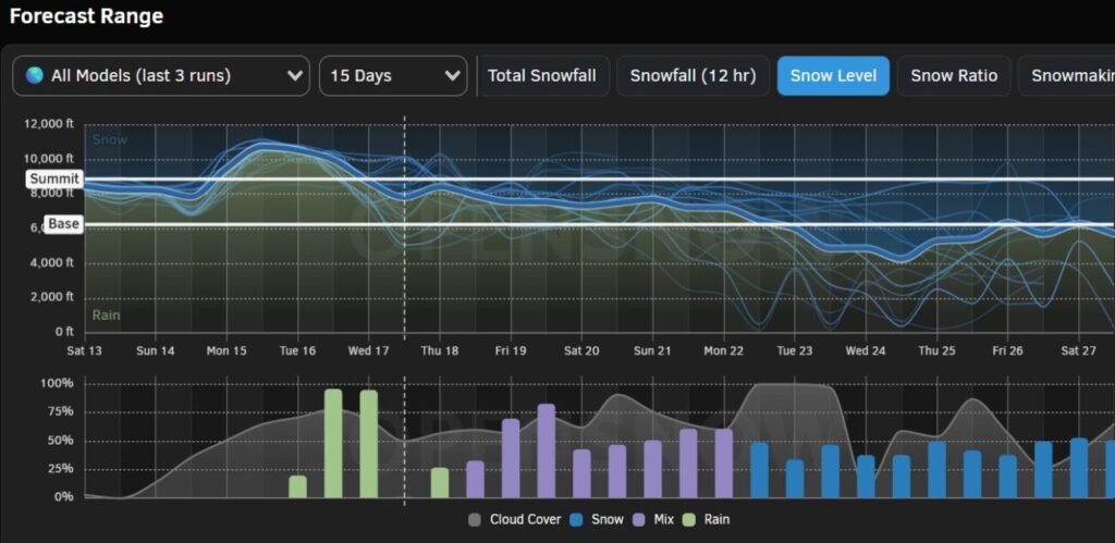
Snow ratios will be around 12-16:1 during the day on the mountain and a bit higher near the end Monday evening. By Tuesday morning we could add around 5-9 inches at the base, 6-11 inches near mid-mountain, and 8-13 inches up top to the snowfall totals for the storm.
Tuesday – Wednesday Weather:
Clearing for Tuesday with mostly sunny skies and highs in the 30s. Partly sunny Wednesday as clouds will be increasing later in the day ahead of the next storm. Highs into the 40s for the lower elevations.
The ridgetop winds from the southwest will increase quickly going into Wednesday night, possibly strong enough to affect upper mountain lifts before the end of the day.
Wednesday Night Snow Showers:
The next storm moves through to our north quickly Wednesday night and brushes us with a few snow showers on the southern edge. The latest model runs show snow showers moving in around 7-9 PM and clearing out by sunrise on Thursday.
The snow levels could be around 6000-6500 ft. at the start and then fall to around 4000-4500 ft. by early Thursday morning as the precipitation diminishes. We could see a coating up to a few inches of snow overnight, with the highest totals of 1-3 inches up top.
Thursday – Saturday Weather:
The winds drop during the day on Thursday and the sun comes out. Highs into the 30s.
Then partly – mostly sunny skies each day through Saturday as storms continue to our north which could bring some clouds through the region. Highs into 30s for the higher elevations and 40s for the lower elevations below 8000 ft.
Dry & Milder:
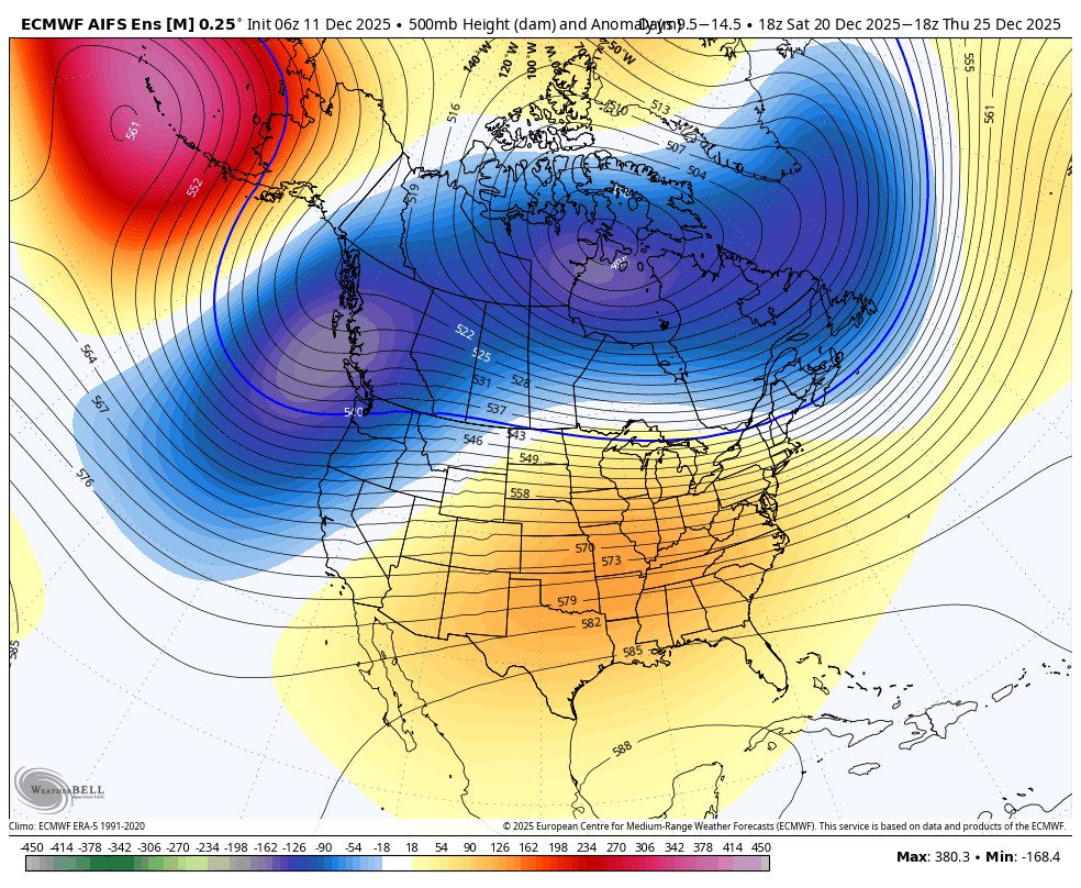
The long-range models continue to show a strengthening high-pressure ridge over the region by Sunday into the week of the 24th. That will bring sunny days and milder temperatures. Highs into the 40s for the higher elevations and 50s for the lower elevations.
Long-Range Forecast:
The long-range models continue to show the ridge weakening and shifting east, with lower heights over the West Coast around the 27th-28th. We could see a weak system move through with light rain and snow showers.
Then the trend is toward high pressure developing near the West Coast during the last few days of March into the first few days of April. We are going into the spring season where the jet stream and storms weaken and shift north, and any high pressure near the West Coast will only help to keep the storm track to our north.
We’ll continue to watch the pattern into April to see if any late-season storms or convective snow showers will show up.
BA