New Year’s Day Showers:
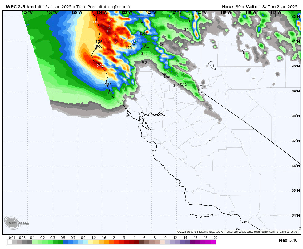
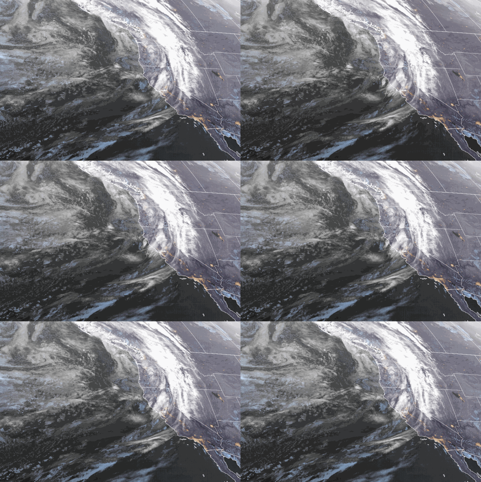
Happy New Year! We have clouds streaming into northern CA Wednesday morning along with gusty winds. The latest model runs show a slightly better chance of showers reaching the mountain Wednesday into Wednesday night. We will see ridgetop winds from the west gusting up to 40-60+ mph during the day, possibly closing some upper mountain ski lifts. Highs in the 30s.
Snow levels will be around 7000-8000 ft. Wednesday afternoon and then rise above 9000 ft. Wednesday night. We could see a coating to an inch of snow on the upper mountain by Wednesday evening before snow levels jump overnight.
Thursday Weather:
The moisture and more of the clouds should stay to our north on Thursday, and the wind speeds will drop. Partly sunny skies with highs in the 40s as some milder air moves into the region.
Friday Afternoon – Night Storm:
Rain & high elevation snow is forecast to push into the Tahoe basin between 1-4 PM on Friday. The morning will feature increasing clouds and winds with ridgetop gusts up to 60-80+ mph, likely closing some upper mountain lifts. Highs in the 30s on the mountains and 40s down at the base.
Steadier precipitation with the front is expected for Friday evening with some showers possibly into early Saturday morning before fully clearing out. Snow levels start out high, above 8000 ft. as precipitation is approaching, but fall quickly into Friday evening, around 7000-7500 ft. by 4 PM as precipitation gets going, and then to 4500-5000 ft. during the evening hours.
Falling snow levels are always a headache for snowfall forecasting, as we saw on Sunday, but this storm looks to drop them faster. By Saturday morning we could see around 1-4 inches of snow near the base, 2-5 inches near mid-mountain, and 3-6 inches up top.
The Drier Pattern Begins:
Saturday we clear out with mostly sunny skies likely by afternoon and the winds coming down. Highs into the 30s. Then mostly sunny for Sunday and beyond with highs into the 40s.
By the middle of next week, strong high pressure is centered near the West Coast blocking all storms from moving into CA. Highs in the 40s are likely for most days, maybe breaking 50 degrees near the base at some point later next week.
Long-Range Forecast:
The long-range models show the high-pressure ridge sitting near and over the West Coast through the 2nd week of January up until at least the 15th. That should keep us dry through the 2nd week of January.
It does start to drift west a little by mid-month, and a little could be enough for a weak system and some colder air from the north. We’ll keep an eye on that, but no significant precipitation is likely.
There are some signs that the pattern could change beyond mid-month back toward a colder and stormier pattern, but that is way out there and we don’t trust it yet, but we’ll be watching closely…
BA


