The Weekend:
The forecast hasn’t changed much over the last few days. We will continue the dry pattern through the weekend with mostly sunny days. Highs in the 40s to near 50 degrees down near the base.
We’ve been dealing with some overnight inversions which have been affecting overnight lows for some mountain elevations making snowmaking more difficult. That could continue.
Monday Cooldown:
We are still expecting a brief cooldown on Monday with highs dropping into the 30s as a trough moves through to our east. But we stay dry.
Tuesday – Thursday:
We should have 7 more days (Friday – Thursday) of high pressure stuck over the West Coast with the dry pattern continuing through at least Thursday. Temperatures will warm back up a little after Monday, with highs likely returning into the 40s each day. We should see mostly sunny skies each day through Thursday.
Long-Range Forecast:
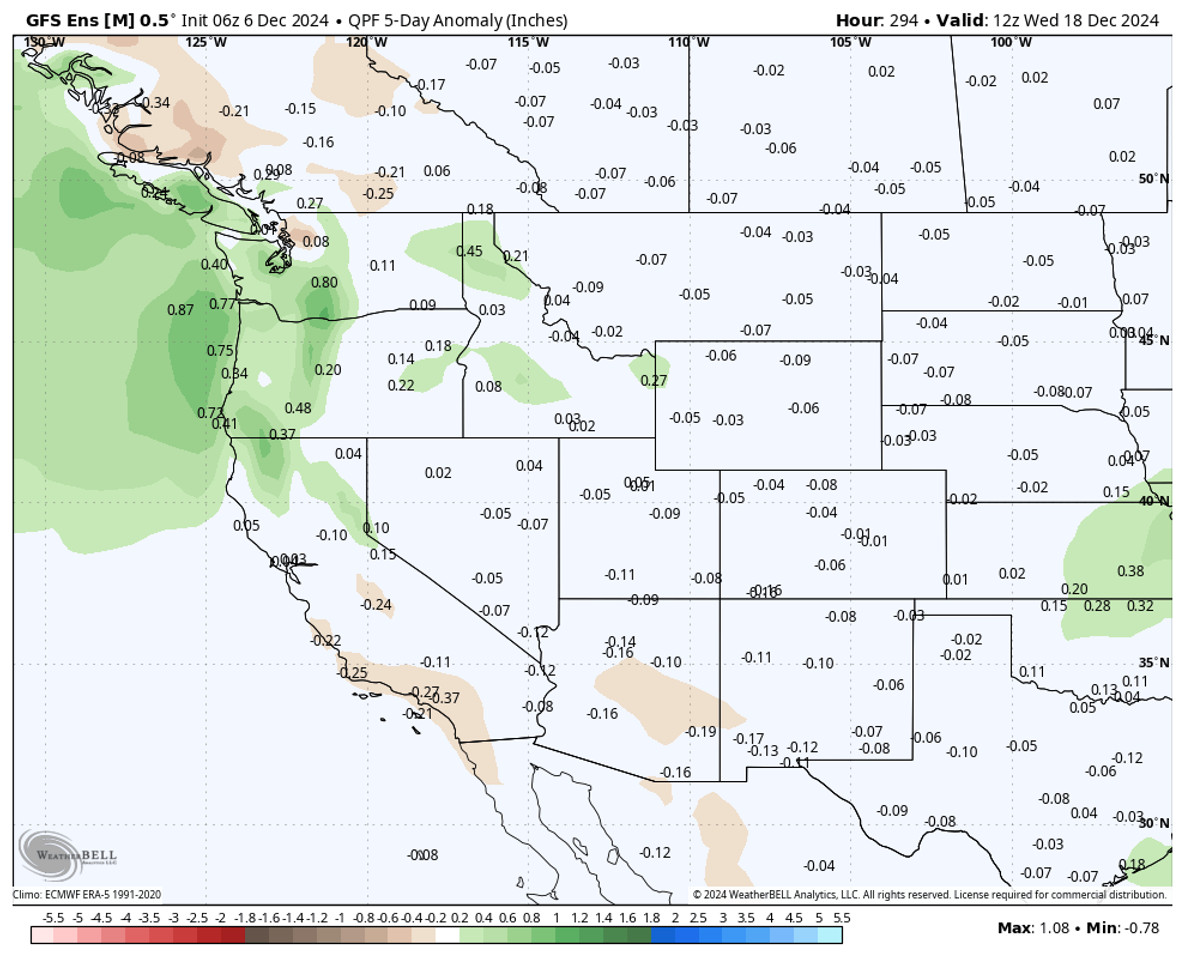
The long-range models continue to show the pattern beginning to change around the 13th, with a trough digging into the West Coast by the 14th, and possibly staying in that pattern for about 5 days.
That would bring an initial cold front around next Friday – Saturday the 13th-14th that could sweep through with some rain and snow for the northern Sierra. The latest model runs show the hardest hit occurring to our north, but some light-moderate precipitation reaching the Tahoe basin.
With the storm door staying open for a few days, they show a second system around the 16th. Some hold it together with a stronger/wetter front moving through and farther south, while others like the European model below show a split with a cutoff low moving through CA.
If the cutoff low (cut off from the west-east flow of the jet stream) tracks just right it could be a wetter scenario than a front, or it can be a complete miss. Either way, it’s too early to look at specifics. We just know that the trend continues to be toward the storm door opening next weekend.
We’ll continue to watch the trends all week…
BA


