

Snowfall Report:
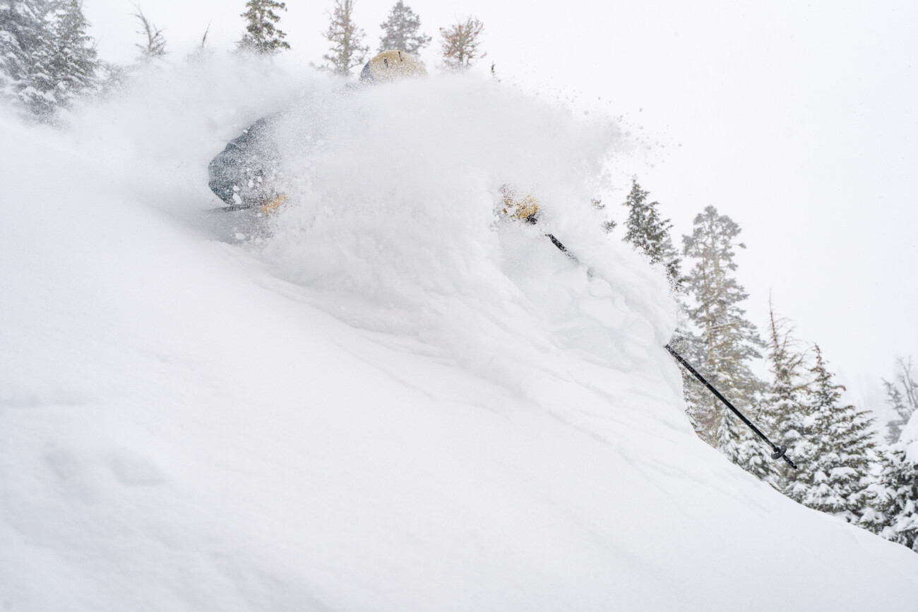
The snow showers on Monday dropped a final 8 inches of snow on the mountain bringing the 2-day storm total to 14 inches and the 6-day total to 59 inches, or just 1 inch shy of 5 feet since Thursday!
We did pick up 9 inches less than forecast on this latest storm. There was a drier slot over the mountain compared to other locations. The forecast model ranges were for 1.9 – 2.8 inches of precipitation for the storm, and the SNOTEL sensor on the mountain only shows 1.6″ of snow water equivalent. That’s 3-tenths of an inch drier than any model forecast.
That combined with the colder air a bit slow to push in Sunday night with lower snow ratios than forecast, brought us less snow than expected. Not much we can do when every forecast model forecasts more precipitation than we end up with, some forecasting double. But we’re not complaining about 59 inches this week!
Tuesday – Wednesday Forecast:
Mostly sunny skies for Tuesday with lighter winds and highs into the 30s. Partly sunny for Wednesday with increasing clouds and winds later in the day ahead of the next storm. Highs into the 40s for the lower elevations. Ridgetop winds gusting up to 50-70+ mph from the SW by the end of the day, possibly affecting some upper mountain lift operations.
Wednesday Night Snow Showers:
A weak system will brush us on the southern edge Wednesday night. It is fast-moving with snow showers moving in between 6-9 PM and moving out of the region by 4 AM. We are only expecting 1-3 tenths of an inch of precipitation with this system.
The snow levels start near the base Wednesday evening before falling to around 4000-4500 ft. by early Thursday morning. By Thursday morning we could see a coating to an inch of snow near the base and 1-3 inches on the upper mountain.
Thursday – Saturday Weather:
A flat ridge to our south will keep the storm track just to the north in a zonal flow through Saturday. That will bring us some clouds each day. Highs in the 30s on Thursday, and then warming into the 40s on Friday and Saturday.
Spring Weather:
The high-pressure ridge strengthens and amplifies over the West Coast by Sunday into early next week. That will bring us sunny days and milder temperatures. Above-average temperatures are forecast for most of the West during this period.
It will definitely feel like spring with highs into the 50s for the lower elevations by Sunday, and breaking into the 60s by Monday and next Tuesday the 25th. Temperatures are typically around 10 degrees colder on the peaks vs the base. The dry pattern could last through the 26th – 27th.
Long-Range Forecast:
The long-range models continue to show the ridge weakening and shifting east with the next trough pushing in around the 27 – 28th. That will open the door to some weaker storms and cooler air. The latest trend is back towards troughing to stick around the West Coast through the end of the month into the first few days of April.
That could keep the storm door open. We’ll have to see how big the storms will get and how far south they track as we are heading into spring with a weaker and farther north jet stream, and shorter wavelengths. I’m expecting mostly weak systems but it’s possible a stronger storm spins up by the end of the month.
Winter isn’t done with us quite yet it appears…
BA
