

Sunday Daytime Weather:
Partly sunny for Sunday with some clouds increasing later in the day. Highs in the 30s on the mountains and low 40s for lake level. Ridgetop winds gusting up to 80-100+ mph likely closing quite a few upper mountain ski lifts.
We could see some light snow showers reach the mountain during the afternoon.
Sunday Night – Monday Storm:
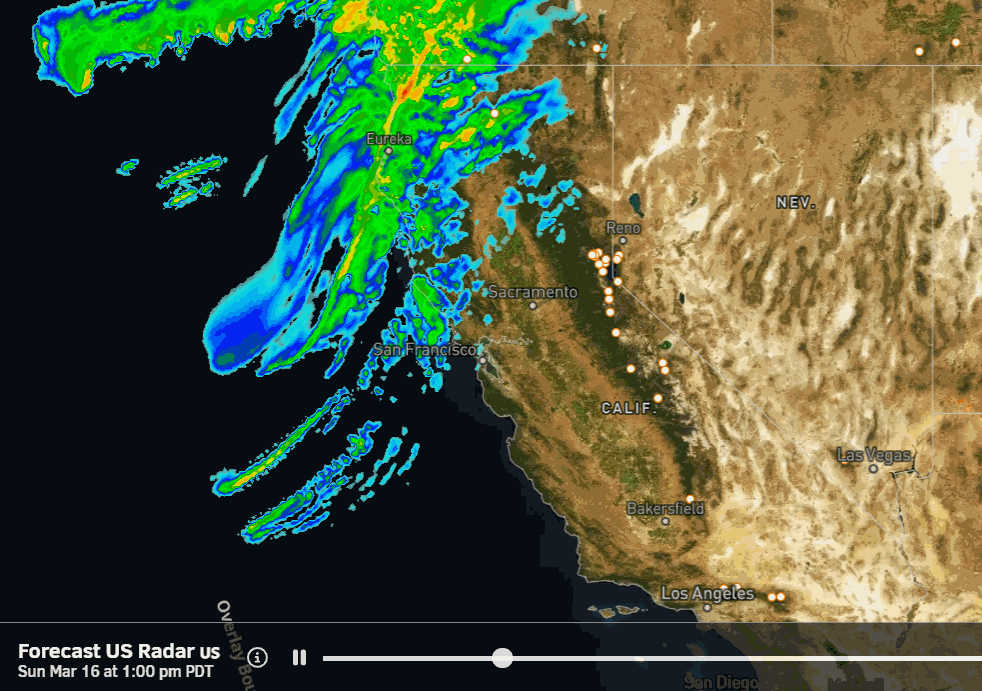
The latest model runs show the steadier snow on the leading edge of the approaching front pushing in between 7-9 PM. Then heavy snow overnight into Monday morning as the front moves through. Snow showers behind the front will fire up as moist air flows over the mountains through Monday afternoon before ending Monday night.
Highs in the 30s for the lower elevations and 20s for the higher elevations. Ridgetop winds dropping through the day on Monday. They could be 50-70+ mph in the morning but likely low enough by the afternoon for all lifts to be open.
Snow levels start up around 7000 ft. Sunday afternoon and then falling to around 6300-6800 ft. Sunday evening as the steadier snow starts to push in, and to 5000-5500 ft. by Monday morning. Then falling through the day down to around 4000-4500 ft. by Monday evening.
That means we could see a little rain to start near the base, but it should switch to snow pretty fast overnight with heavy snow into Monday morning. By Tuesday morning we could be measuring snowfall totals of around 11-17 inches at the base, 17-23 inches near mid-mountain, and 23-29 inches up top.
Tuesday – Wednesday Weather:
Mostly sunny skies for Tuesday into Wednesday, with increasing clouds later Wednesday as the next storm approaches. Highs in the 30s for Tuesday and 40s for the lower elevations on Wednesday. Gusty ridgetop winds by Wednesday afternoon, up to 50-70+ mph from the SW by evening.
Wednesday Night – Thursday System:
The next storm moves through the Pacific NW Wednesday night into Thursday. We are going to get brushed with lighter showers on the southern edge. Highs in the 30s for the lower elevations on Thursday and 20s for the higher elevations. Gusty winds in the morning dropping through the day.
Snow levels drop to around 5500-6000 ft. Wednesday evening as the showers move in, and then dropping to around 4300 – 4800 ft. by Thursday morning. Then rising back up to around 5900-6400 ft. by Thursday afternoon.
We could see up to a few inches of snow from this storm if it digs far enough south. By Thursday evening we could see a coating up to 2 inches of snow near the base and 1-4 inches up top. We’ll continue to watch the trends over the next few days.
Drier Pattern:
The ensemble mean model runs are showing a strong high-pressure ridge building in over the West Coast next weekend into the week of the 24th.
We should start a drier pattern on Friday into the weekend with partly-mostly sunny skies and highs into the 40s. As we go into next Sunday into the 24th-25th as the high-pressure ridge strengthens overhead, we should see milder temperatures with highs up into the 50s.
Long-Range Forecast:
As we get to the 27th through the end of the month, the long-range models continue to show lower heights over the West Coast. Weaker storms are possible during this period. We’ll keep an eye out for any late-season snow.
BA
