Snowfall Report:
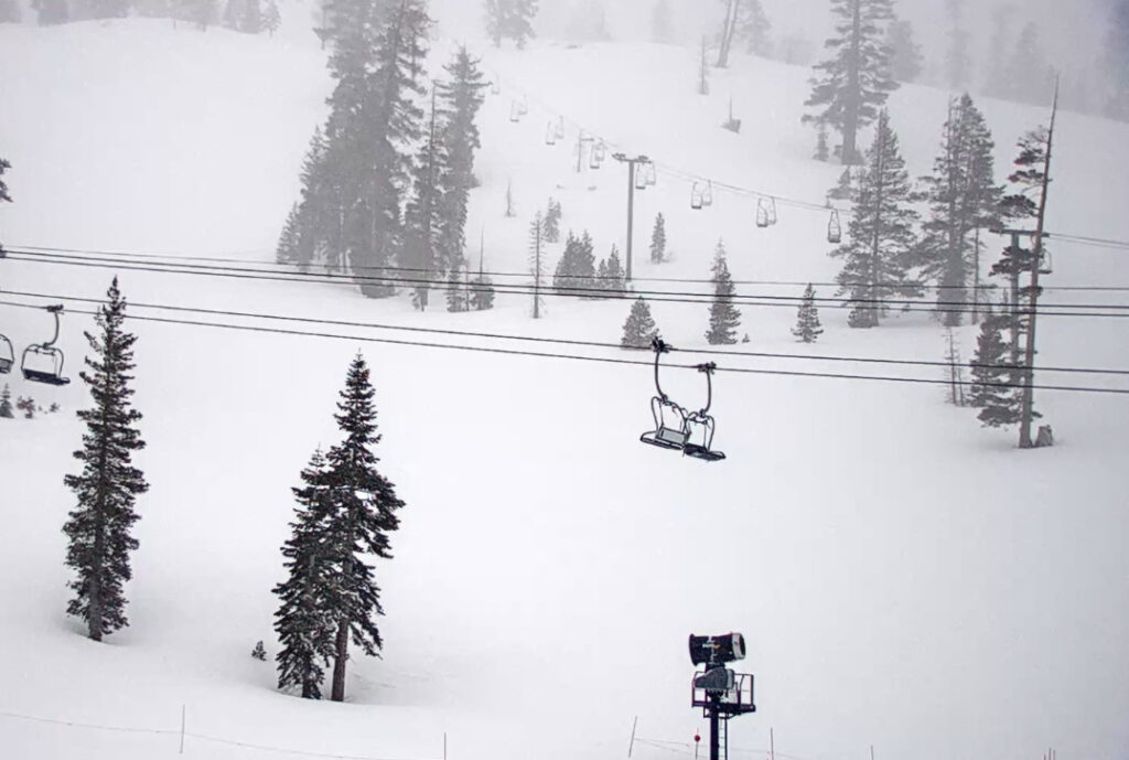
We picked up the low end of the 1-4″ snowfall forecast for Saturday night, with 1 inch of new snow being reported on the upper mountain. The southern edge of the moisture didn’t push as far south as some of the wetter forecast model runs suggested.
Sunday – Tuesday:
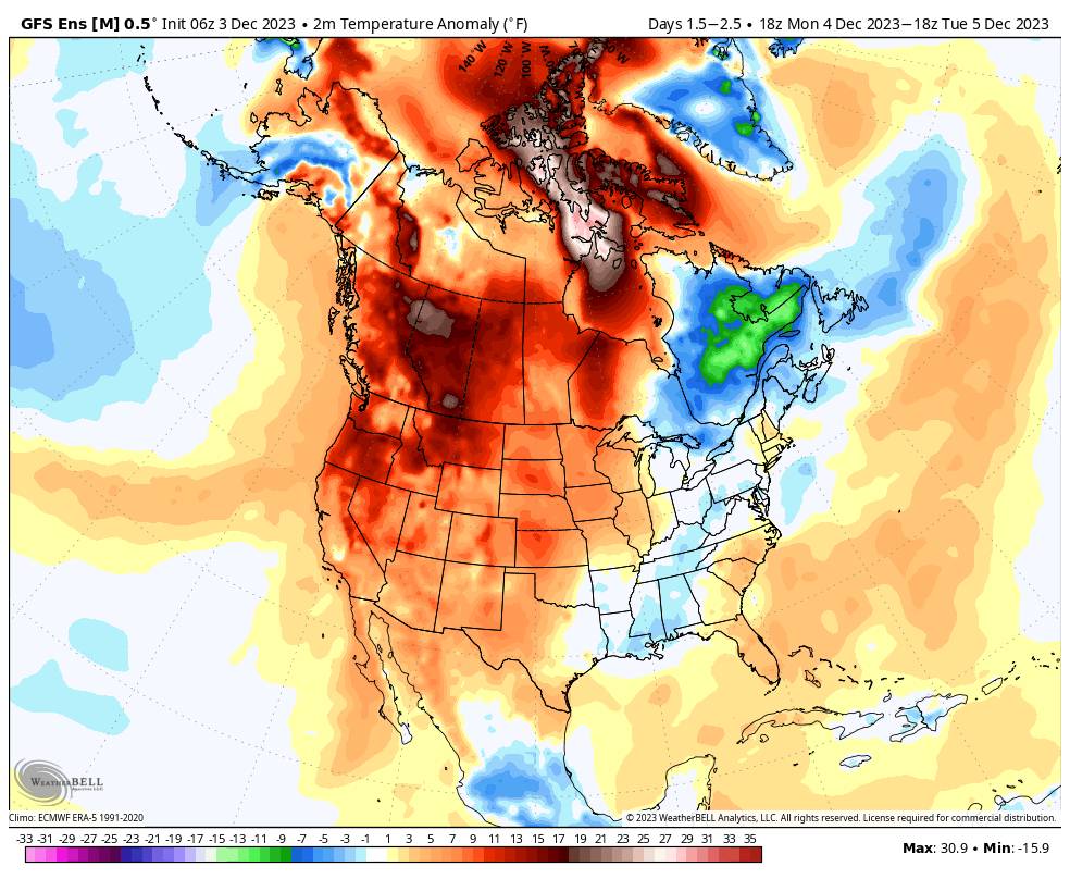
The storm track has lifted back to the north for Sunday and high pressure will build in over the West through Tuesday. That will bring a dry and mild pattern to much of the West. Look at how much of an area is forecast to be above average for temperatures by Tuesday.
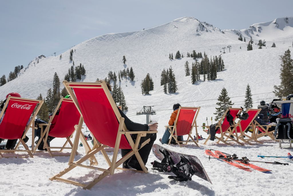
We will see some clouds with highs into the 40s on Sunday at the base and 30s up top with the winds coming down. Then light winds, mostly sunny skies, with highs into the 50s at the base and 40s up top for Monday and Tuesday.
Wednesday – Thursday Storms:
The latest forecast model runs have sped up the arrival of the first storm a bit. They now have precipitation moving in by late morning Wednesday with some steady precipitation possible by afternoon, and lingering showers into Wednesday night. Ridgetop winds will increase to 80-90+ mph from the southwest by Wednesday afternoon!
This system has a bit of a moisture tap but not much and it is fastmoving and weakening as it pushes through northern CA. Snow levels look to start out above 7000 ft. as well with only rain possibly below that to the base during the heaviest showers. Then falling below base level Wednesday night through Thursday night, with the winds falling as well.
A weaker wave looks to be right on the heels of the first system. We could see a break Thursday morning before we could see more snow showers later Thursday into Thursday night. Then clearing out by Friday morning. The latest model runs show very light precipitation amounts with only scattered showers Wednesday night through Thursday night.
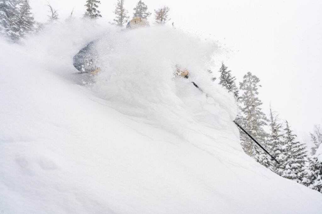
The total model average this morning is around 0.69 inches of total precipitation over the mountain over the 2-day period. My initial forecast for this system is only for light amounts of snowfall, similar to the last 3 days of snowfall, with maybe a coating up to 2 inches at the base and 2-8 inches on the mountain from bottom to top due to the higher snow levels initially.
Long-Range Forecast:
The long-range models continue to show high pressure building back in over the West Coast by next weekend into the week of the 11th. We will start out fairly cold behind the storms Friday into Saturday, but then we should start to warm a little by next Sunday into the week of the 11th.
The long-range models continue to suggest that a deeper and broader trough could dig down over the West Coast by mid-month, with the northeast Pacific ridge to the south of the Aleutians. In that pattern, we usually have a better chance for some wetter storms to track into northern CA. The ensemble mean models show near to above-average precipitation from around the 15th to the 20th of December.
We’ll continue to watch the trends and hope that we can get something going around mid-month. The pattern continues to want to be progressive so a stormy pattern mid-month may not last long. Let’s hope we get one and it does, or at least it dumps decent snowfall before shifting back to a drier pattern.
BA


