Skip to content
Palisades Tahoe Logo Palisades Tahoe Logo Palisades Tahoe Logo
Explore
Main Menu
  • Explore Palisades Tahoe
  • Base to Base Gondola
  • Our New Name
  • Explore Legendary Lifts
  • Palisades Tahoe Blog
  • About Lake Tahoe
  • About Us
Plan Your Visit
Main Menu
  • Tickets & Passes
  • Lodging
  • Lessons & Guides
  • Deals & Packages
  • Rentals & Demos
  • Travel Here
  • Getting Around
Mountain Information
Main Menu
  • Snow and Weather
  • Lift and Grooming Status
  • Webcams
  • Hours of Operation
  • Trail Maps
  • Parking & Road Conditions
  • Snowfall Tracker
Events & Activities
Main Menu
  • Events Calendar
  • Activities
  • Dining & Apres
  • Shopping
  • Things To Do In Lake Tahoe
  • Groups, Meetings & Weddings
  • Ski & Snowboard Teams
IKON PASS HOLDER LODGING DISCOUNT

Ikon Pass holders save up to 20% on slopeside lodging at The Village at Palisades Tahoe.

SLOPESIDE LODGING
Icon / FlashCreated with Sketch.
View All Offers
  • Weather

Friday Night – Saturday Snow Update

  • Feb 9, 2023
  • 8:43 am

Thursday – Friday:

We are starting off the day with lighter winds and inversions Thursday. We will warm into the 40s for highs along with mostly sunny skies.

That weather continues for Friday with the exception being increasing winds from the southwest, gusting up to 50-60+ mph over the ridges by later in the day.

Friday Night – Saturday System:

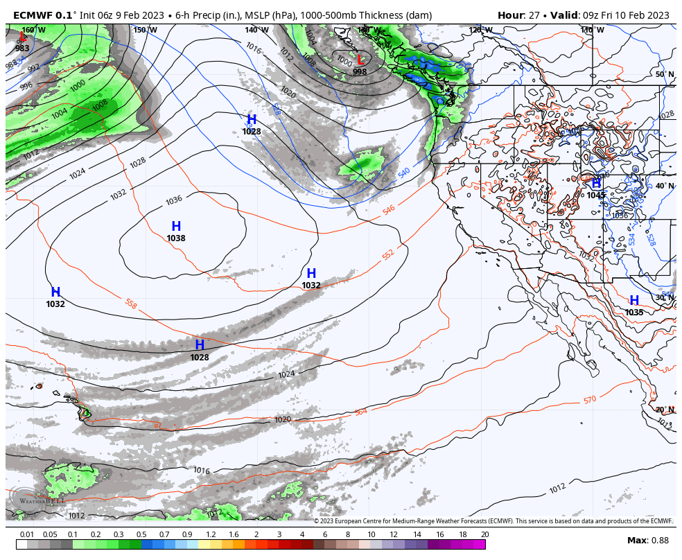
Snow showers could reach the mountain around 8-10 PM Friday evening, and then possibly continue into Saturday morning before clearing out later in the day. The forecast models are struggling with where a band of steadier snow sets up on the east side of the low as it moves north to south through CA, and with how much snow could fall.

We could see gusty northeast winds set up for Saturday afternoon as well, with ridgetop gusts up to 40-50+ mph. That could affect some exposed upper mountain lifts. Highs in the 20s up top and 30s at the base.

Here is my updated snowfall forecast for potential snowfall totals by Sunday morning.

  • 1-2 inches at the base.
  • 1-3 inches at mid-mountain elevations.
  • 1-4 inches up top.

We’ll continue to watch the trends and fine-tune the forecast as best as we can over the next few days.

Sunday – Monday:

High pressure builds back in briefly Sunday into Monday. Highs warm into the 30s for Sunday and 40s for Monday under mostly sunny skies.

East winds could still be gusting up to 40-50+ mph over the ridges Sunday morning, and then come down through the day. Monday starts with lighter winds but then they shift to the west ahead of the approaching trough from the north, and increase through the afternoon with ridgetop gusts up to 60-70+ mph by the end of the day. That could affect some upper mountain lifts.

Tuesday Cold Front:

A cold trough digs into the West Tuesday with a chance for snow showers with the front. Right now it looks like maybe a dusting up to a couple of inches of snow at best with the front Tuesday. Then much colder air moves in into Wednesday. Highs only into the 20s on both days.

Long Range:

The cold trough shifts east by next Thursday into Friday the 17th. That should continue the dry pattern with a slight warmup of high temperatures.

Going into President’s Weekend, the long-range models continue to show another cold trough digging into the West. This time becoming much broader and sticking around into the last week of February. The flow from the north on the east side of the high-pressure ridge will help to drive colder air into the trough with below-average temperatures expected into the last week of February.

Storms can track south into the west side of the trough but would most likely be tracking down over land and not the ocean where they pick up moisture. Right now the models only show chances for weak systems dropping down from the north with light snowfall amounts if we see any.

We’ll continue to watch the trends and will let you know the first sign of more snow or a more significant storm.

BA

lake tahoe weather palisades tahoe weather forecast snowfall forecast
Bryan Allegretto
Bryan Allegretto

Share this article:

Recent Posts

  • Weather ·
  • March 24, 2023·

Drier w/ Spotty Snow Showers thru Sunday

Snowfall Report: 3-5 inches of new snow fell on the mountain, from the base to the upper mountain, in the…
Read more
  • Weather ·
  • March 23, 2023·

Snow Thursday, Drier for the Weekend

Snowfall Report: An additional 2 inches of snow fell on the mountain in the past 24 hours as of 5…
Read more
  • Weather ·
  • March 22, 2023·

Scattered Snow Showers Continue

Snowfall Report: We were expecting 1-4 inches to fall Tuesday-Tuesday night. We picked up the lower end of the forecast…
Read more

Social

Instagram Twitter Facebook Youtube

Contact

   Email Us
   1.800.403.0206

Our Partners

U.S. Forest Service Logo
1960 Olympic Valley Road
Olympic Valley, CA 96146

©2022 Palisades Tahoe

Alterra Mountain Company
  • Privacy Policy
  • Terms of Service
  • Photo Upload Terms of Use
  • Accessibility
  • Do Not Sell My Personal Information
  • Privacy Policy
  • Terms of Service
  • Photo Upload Terms of Use
  • Accessibility
  • Do Not Sell My Personal Information