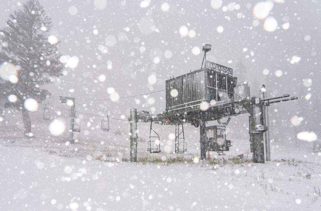
The storm that moved through Wednesday afternoon dropped around an inch of snow at the base and up to 4 inches on the upper mountain. A nice sight as we get excited for the upcoming ski season!
Chilly Weekend:
Behind the cold front, we have cold air in place over the West, with below-average temperatures expected through Sunday. Highs into the 40s at the base and 30s up top. The pattern is expected to be dry with mostly sunny skies each day through Sunday. Gusty northeast winds are likely as well on the mountain.
Milder Weather:
By Monday through the middle of next week, high pressure will be building over the West Coast keeping the pattern dry and warming temperatures. Highs will warm into the 50s during the day.
Possible Active Pattern:
By the end of next week, around the 3rd of November, and beyond, the long-range models continue to show a large trough and low pressure setting up in the northeast Pacific and directing the jet stream and storms into the Pacific NW.
If the pattern sets up as forecast by most models, we will be on the edge of the storm track to the north, and it wouldn’t take much for a storm to dig farther south to bring us at least some precipitation. The storms would be warmer in this pattern so likely more rain than snow. We’ll be watching this period closely over the next week.
BA


