Skip to content
Palisades Tahoe Logo Palisades Tahoe Logo Palisades Tahoe Logo
Explore
Main Menu
  • Explore Palisades Tahoe
  • Base to Base Gondola
  • Our New Name
  • Explore Legendary Lifts
  • Palisades Tahoe Blog
  • About Lake Tahoe
  • About Us
Plan Your Visit
Main Menu
  • Tickets & Passes
  • Lodging
  • Lessons & Guides
  • Deals & Packages
  • Rentals & Demos
  • Travel Here
  • Getting Around
Mountain Information
Main Menu
  • Snow and Weather
  • Lift and Grooming Status
  • Webcams
  • Hours of Operation
  • Trail Maps
  • Parking & Road Conditions
  • Snowfall Tracker
Events & Activities
Main Menu
  • Events Calendar
  • Activities
  • Dining & Apres
  • Shopping
  • Things To Do In Lake Tahoe
  • Groups, Meetings & Weddings
  • Ski & Snowboard Teams
IKON PASS HOLDER LODGING DISCOUNT

Ikon Pass holders save up to 20% on slopeside lodging at The Village at Palisades Tahoe.

SLOPESIDE LODGING
Icon / FlashCreated with Sketch.
View All Offers
  • Weather

Colder with Snow Friday into Saturday

  • Mar 2, 2022
  • 8:16 am

Wednesday – Thursday:

We are in a dry pattern through Thursday. Mostly sunny Wednesday with highs into the 50s at the base and 40s up top. Partly sunny Thursday with highs in the 40s on the mountain.

Thursday Night – Saturday Systems:

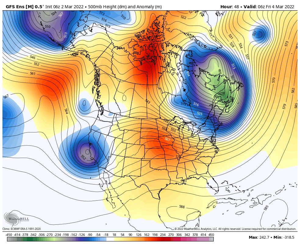
The next storm is digging south and splitting as it moves into CA Thursday. That is delaying the onset of the precipitation as the flow turns southerly.

The rain and snow showers may hold off until early Friday morning. Snow levels could be slow to fall as well. Maybe starting around 7000-8000 ft. before sunrise and then falling to the base by Friday afternoon. We may only see a coating to an inch of snow at best by Friday morning on the upper mountain.

The snow showers continue into Friday and increase in intensity later Friday into Friday night as a 2nd colder system dives into the region. This is a better chance for snowfall accumulation and powdery vs wet snow. Highs drop into the 30s Friday. Ridgetop winds turn southwest and increase up to 70+ mph up top by afternoon, possibly affecting a few lifts. Light accumulations are possible during the day on the mountain.

Snow showers could continue but become more scattered Saturday with highs only in the 30s at the base and 20s up top. The winds should come down some as well. By Saturday morning we could see an additional 3-7 inches of snow on the mountain. Scattered snow showers Saturday could bring light additional accumulations during the day.

Storm total of 3-6 inches at the base and 4-9 inches on the mountain possible by Saturday evening as the storm starts to clear the region.

Sunday – Tuesday:

A drier pattern returns Sunday into the first half of next week as high pressure builds back in over CA. It starts cold Sunday with highs in the 30s at the base and 20s up top. Mostly sunny skies continue through Tuesday with highs warming into the 40s at the base and 30s up top.

Long-Range:

The long-range models disagree on whether or not the trough over the West backs over CA again by midweek with additional systems dropping down from the north the 2nd half of next week. If not the drier pattern could continue. We’ll continue to watch the trends.

The long-range forecast models also disagree on what happens the weekend of the 12th through mid-month. Some models rebuild high pressure over CA with the dry pattern continuing. Other models suggest a trough could form in the northeast Pacific off the West Coast through mid-month, which could allow storms to spin up off the coast and push in northern CA. We’ll continue to keep an eye on that as we get closer.

BA

lake tahoe weather palisades tahoe weather forecast snowfall forecast
Bryan Allegretto
Bryan Allegretto

Share this article:

Recent Posts

  • Weather ·
  • March 24, 2023·

Drier w/ Spotty Snow Showers thru Sunday

Snowfall Report: 3-5 inches of new snow fell on the mountain, from the base to the upper mountain, in the…
Read more
  • Weather ·
  • March 23, 2023·

Snow Thursday, Drier for the Weekend

Snowfall Report: An additional 2 inches of snow fell on the mountain in the past 24 hours as of 5…
Read more
  • Weather ·
  • March 22, 2023·

Scattered Snow Showers Continue

Snowfall Report: We were expecting 1-4 inches to fall Tuesday-Tuesday night. We picked up the lower end of the forecast…
Read more

Social

Instagram Twitter Facebook Youtube

Contact

   Email Us
   1.800.403.0206

Our Partners

U.S. Forest Service Logo
1960 Olympic Valley Road
Olympic Valley, CA 96146

©2022 Palisades Tahoe

Alterra Mountain Company
  • Privacy Policy
  • Terms of Service
  • Photo Upload Terms of Use
  • Accessibility
  • Do Not Sell My Personal Information
  • Privacy Policy
  • Terms of Service
  • Photo Upload Terms of Use
  • Accessibility
  • Do Not Sell My Personal Information