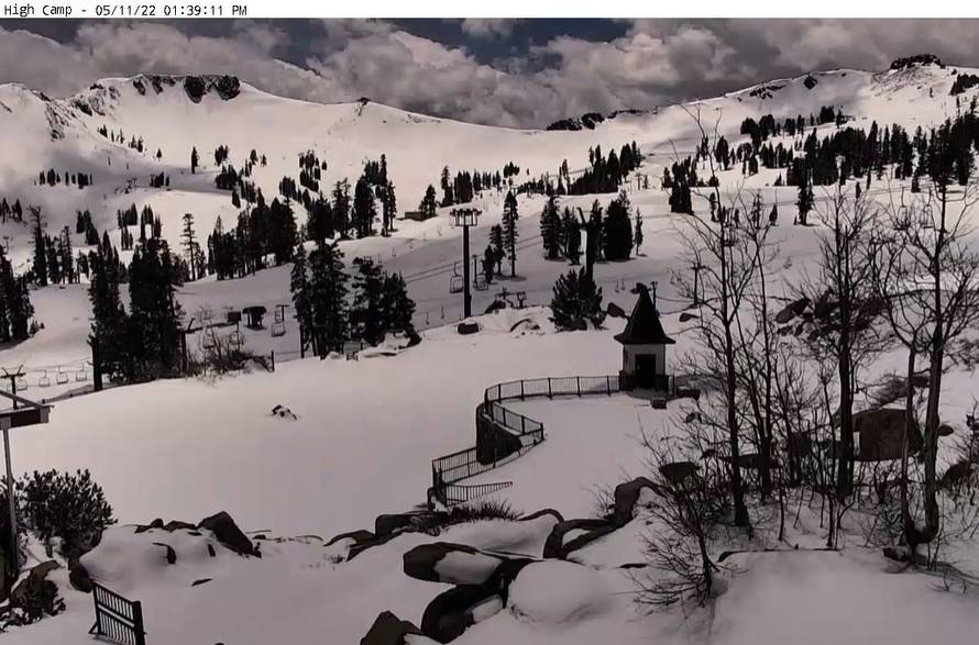
Snowfall Report:
We have had a cold and wintry first half of the week with several systems that rotated through bringing us snow showers. There are some lingering clouds and isolated snow showers Wednesday afternoon as the last system moves east.
Over the last few days the upper mountain has picked up 15 inches of new snow, and 7 inches at the base! The mountain is closed until Friday so unfortunately, we can’t ski the fresh snow until it is warmer on Friday, but it will help to preserve the snow on the mountain for skiing through 5/30!
Drier/Milder Pattern:
We will start to warm up on Thursday but it’s still cool with highs in the 50s for the base and 40s up top. Then warming into the 60s & 50s by Friday through the weekend. We could see breezy west winds but nothing concerning right now.
The drier and milder pattern may continue through at least next Wednesday the 18th.
Long-Range:
Believe it or not, the long-range models show an active Pacific NW through the next 2 weeks, with cool troughs possibly digging south into CA later next week and the following week.
That could bring another round of colder air and a chance for the storm track to dip farther south into the northern Sierra with some showers. We need the water so no complaints, other than complaining we didn’t see this pattern during the heart of the winter.
We will keep an eye on the long-range forecast and I’ll let you know if we could see any additional precipitation or snowfall.
BA


