

Wednesday Weather:
A nice day for Wednesday, a calm before the storm, with mostly sunny skies and highs in the 30s.
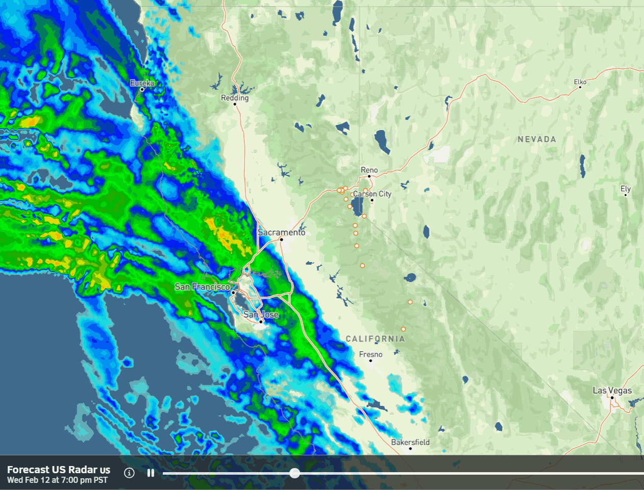
Wednesday Night – Friday Storm:
The latest model runs now show snow pushing in between 10 PM – Midnight with heavy snow for Thursday into Thursday night. Then snow showers into Friday as the cold moist flow over the mountains continues before shutting down Friday night.
Highs in the 30s for the lower elevations and 20s for the higher elevations. Ridgetop winds gusting up to 70-90+ mph from the SW on Thursday, closing some upper mountain lifts. They come down on Friday but could still be gusting up to 30-50+ mph over the exposed ridges.
The snow levels will start low at the start Wednesday night, down around 4500-5000 ft. The latest model runs peak snow levels around 6100-6600 ft. briefly from around mid-morning until midday Thursday, and then dropping below the base for the rest of the storm. That means some rain could mix in near the base for a few to several hours on Thursday.
We could see around 3-6 inches of snow by early Thursday morning and 3-4 feet by Friday morning up top. Easily the biggest 2-day storm so far this season. Snowfall totals by Friday night could be around 28-37 inches at the base, 39-48 inches near mid-mountain, and 45-55 inches up top.
President’s Weekend:
Partly – mostly sunny with some clouds for Saturday along with lighter winds. Highs in the 30s on the mountains and low 40s down near the base.
The weak systems to our north could still brush us with a few rain showers on Sunday and snow showers on Monday as some colder air works in. The latest model runs are trending farther north with less of a chance for showers, but the WPC’s blended model still shows light amounts.
We may just see sun and clouds along with gusty winds on Sunday. Ridgetop winds could gust up to 40-60+ mph on Sunday and then lower on Monday. Most of the scattered showers may be confined near the crest, especially NW of the lake.
Drier Pattern:
By Tuesday through the last week of February, the long-range models continue to show high-pressure building in near the West Coast, eventually over the West Coast, and building over most of the Western U.S. by the end of the month.
That is expected to bring a drier pattern next week with maybe an outside chance for a storm to brush us, and then likely completely dry for the last weekend of February into the last few days of the month. We’ll continue to watch the trends to see if there is any change in the trends.
Long-Range Forecast:
The longer-range models continue to show a wetter pattern setting up by the 2nd week of March, with some suggesting it could start during the 1st week of March. We’ll continue to watch the trends to see if/when the active pattern will return in March.
BA
