Wednesday – Thursday:
We are enjoying nice but cold weather with good skiing conditions after the snow we saw earlier in the week. It’s only in the teens Wednesday morning as the sun comes out.
We will have mostly sunny skies for Wednesday and lighter winds. Highs into the 20s on the mountain and 30s at the base. Thursday will be partly cloudy with increasing clouds and winds into the afternoon ahead of the next storm. Ridgetop winds from the southwest up to 40-50+ mph by the end of the day.
Thursday Night – Friday System:
The latest forecast model runs show snow showers moving in around 5-8 PM Thursday. This is a weak system that will be weakening more as it moves through the Sierra. Snow showers may continue into Friday morning but then we could see them end by late morning with a break Friday afternoon. Maybe even some sun Friday afternoon.
Winds dipping Friday morning but still gusting up to 40+ mph up top and increasing back up to 50+ mph during the afternoon. Snow levels dip below 4000 ft. Thursday night into Friday morning, so plenty cold enough for all snow with this storm and powdery snow on the mountain. Expected snowfall of 2-5 inches at the base and 3-7 inches on the mountain through Friday morning.
Friday Night – Sunday Storm:
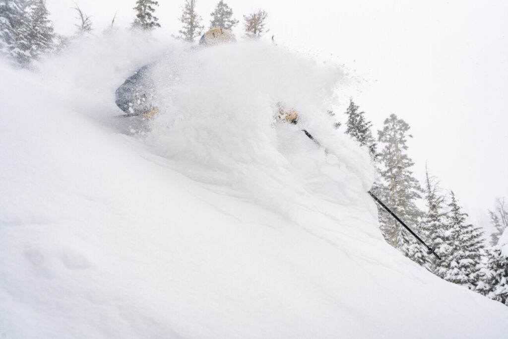
The next storm is coming together with all of the ingredients for a classic Sierra thumping of snow. The snow showers are expected to increase after midnight Friday night into Saturday morning. Then heavy snow moves in Saturday into Sunday before tapering off Sunday night.
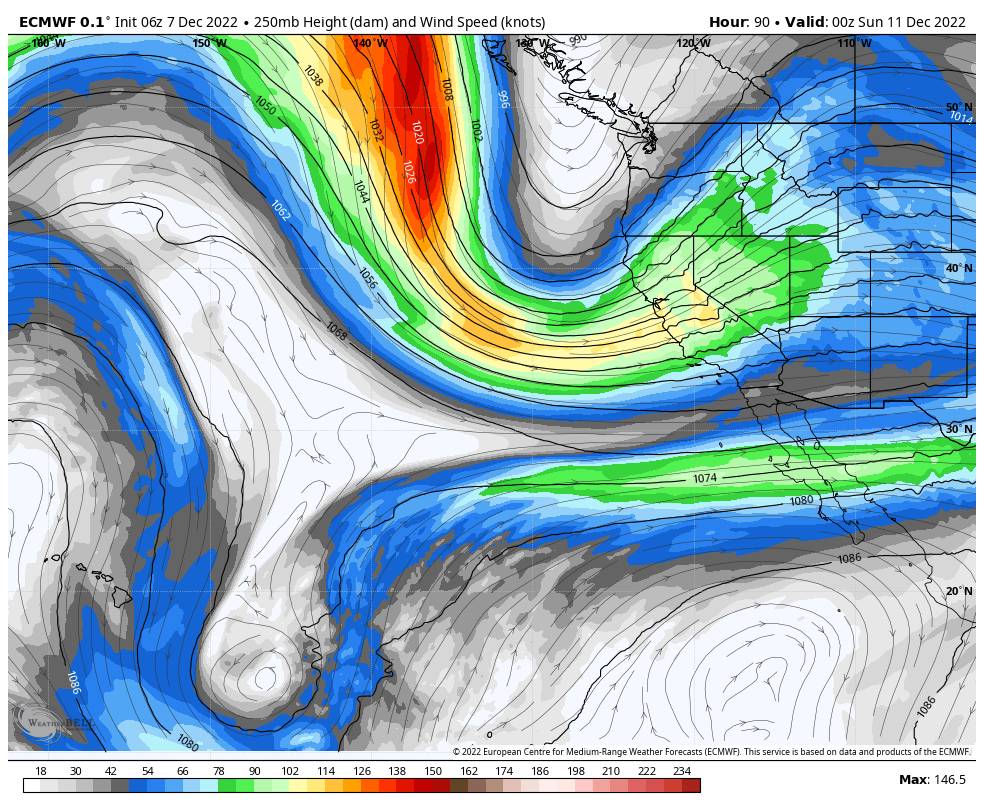
Cold air will be in place behind the first system and then a cold low-pressure system drops down the West Coast from the Gulf of Alaska and is off of the Pacific NW coast by Saturday. A strong jet stream rounds the base of the trough and crosses the Sierra bringing strong winds with ridgetop winds gusting up to 100+ mph from the southwest Saturday.
That should close down quite a few ski lifts Saturday and will blow the snow around causing low visibility. That is also the perfect orientation for good lift and forcing. The jet will also tap into subtropical moisture and aim that at the Sierra as well. The low will sit off of the Pacific NW coast Saturday and Sunday directing that moisture flow into the Sierra for 24-36 hours of moderate-heavy snow.
The snow levels look to peak out Saturday just below base level and then fall below 5000 ft. Saturday night. So as of right now, it looks to stay all snow to the base. The winds should come down through the day on Sunday for a better storm skiing day. The snow will become lighter and more showers later Sunday into Sunday night and is expected to clear out by Monday morning.
The latest forecast model runs have been trending wetter with this storm which has increased the snowfall forecast this morning. We could see an additional 2-3 feet of snow at the base Friday night through Sunday night and 3-4+ feet on the mountain!
Long-Range:
Monday we should see mostly sunny skies, by the afternoon at least. It will be cold with highs continuing to be in the 20s. The winds will drop off behind the storm will beautiful skiing conditions expected. The cold and dry pattern is expected through at least next Wednesday the 14th.
I’ve been cautioning every day in the long range that the pattern in the east could lead to a drier pattern setting up in the West as we get closer to mid-month. The latest long-range model runs show high-pressure building in now through the middle of next week with any storms disappearing now.
I have no confidence in the pattern beyond 10 days. The long-range models suggest that troughing could return to the West, but the operational models don’t show any consistency with any storms moving into CA in the long range. We’ll continue to watch the trends to see if we are headed towards a quieter pattern through the 3rd week of December or if/when storms could return.
BA


