New Snow:
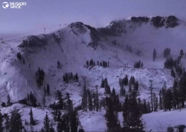
No surprises as of early Friday morning (6 AM) as we saw snow showers move through overnight with light snowfall accumulations. The official report is 2 inches of new snow over night on the mountain, within the 1-4 inch range we were expecting.
Friday – Sunday Weather:
We will have a drier day on Friday with some sun and gusty winds. Ridgetop winds up to 50-60+ mph from the west by afternoon as strong storms move through to our north. Highs only in the 30s.
The storms continue to pound the Pacific NW through the weekend with northern CA on the southern edge. The best chance to see more snow showers brush the area looks to be Friday night through Saturday night. Snow levels look to stay below the base through Saturday with highs in the 30s and the gusty ridgetop winds continuing.
Then warmer air starts to move in Saturday night into Sunday. Snow levels could rise to around 7000 ft. Saturday night and then above 8000 ft. Sunday with any additional scattered showers brushing the area. Highs warm into the 40s for the lower elevations near the base.
The latest model runs are not as dry as they were Thursday morning for the weekend. They show a better chance for a few showers to reach the northern Sierra. But the average of the models shows only up to a tenth or two of precipitation at best, so maybe an additional inch or two of snow for the mountain in total through Saturday night.
Monday – Wednesday:
High pressure builds back in by Monday with drier and milder weather expected through at least Wednesday morning. Highs will warm into the 40s on the mountain and 50s for the lower elevations near the base. Lighter winds Mon-Tue, but by Wednesday we could see strong ridgetop winds gusting up to 70-80+ mph from the west ahead of an approaching storm.
Precipitation from the next storm is possible as early as Wednesday night, but we’ll leave that for the Long-Range Forecast discussion.
Long-Range Forecast:
We look to be in a pattern of troughs and ridges through the long range. We have the current trough with storminess this weekend, a ridge to start next week, and a trough (blue) forecast to dig into the West Coast by next Thursday – Friday.
That could open the door to more storms hitting the Pacific NW, and northern CA could be on the southern edge of the storm track again. We could see another round of colder air and weak systems with some snow for Thursday – Friday. We’ll continue to watch the trends over the next several days in case the storms could push farther south with more than just light snow chances.
The ridge-trough pattern could continue with another high-pressure ridge forecast to build in the weekend of the 9th-10th. That could mean another brief active period later next week could be replaced by a drier and milder pattern again going into the week of the 11th.
Overall through the first two weeks of December, we are currently expecting below-average precipitation for northern CA even with the precipitation chances this weekend and later next week since they are expected to be weak systems.
Mid-December:
The long-range models continue to suggest that the pattern opens up a bit more to wetter storms closer to mid-month into the 3rd week of December, with the north Pacific ridge farther NW south of the Aleutians and the West Coast trough farther west.
We’ll continue to hope that we will see stronger storms later in the month (hopefully sooner). I’ll be watching closely and will let you know as soon as we have any confidence in storms that could bring us feet of snow instead of inches.
BA


