Thursday System:
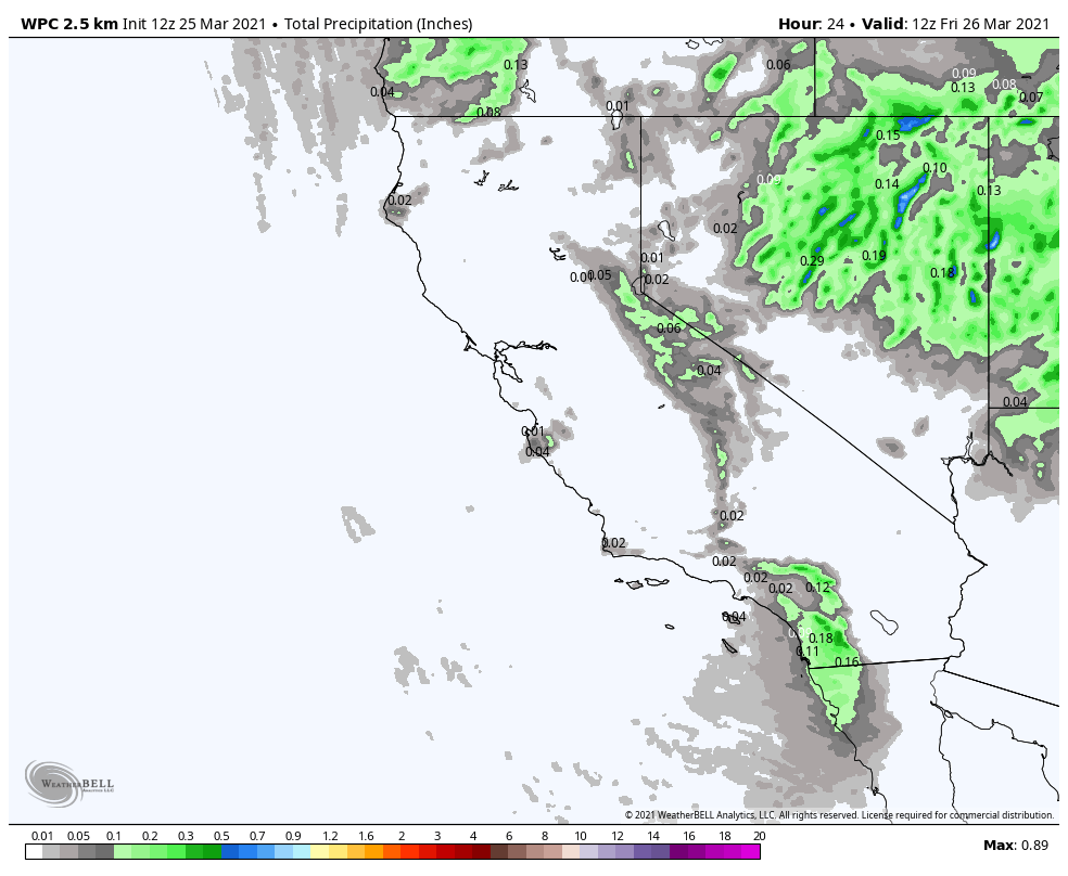
We will see another system move through from the north on Thursday. That will bring another shot of colder air, gusty winds, some clouds, and maybe a few snow showers Thursday afternoon/evening. Highs dropping back into the 30s on the mountain.
Most of the moisture with this system is expected to stay to our east with only a dusting to an inch of snow expected at best. Ridgetop winds from the southwest gusting 40-50+ mph up top.
The Weekend:
Mostly sunny and milder starting Friday through the weekend. We will see mostly sunny skies with temperatures warming into the 40s Friday and 50s for the weekend. We could see northeast winds gusting 40-50+ mph Friday and then lighter winds expected for the weekend.
Long-Range:
We should stay in a dry pattern through the end of the month and into the beginning of the 1st week of April. We will cool back into the 40s Monday into Tuesday with gusty winds on Monday up to 50-60+ mph up top. Then warm back up for the 2nd half of next week with lighter winds.
Some long-range models continue to suggest we possibly transition back to a slightly more active pattern later in the first week of April into the 2nd week. We’ll continue to watch the trends on that.
BA


