

Snowfall Report:
As soon as the storm started and snow levels immediately crashed to the base I knew we were in for a bit more snow than expected, and then when the snow showers kept going into the evening dropping bonus snow that cemented the over.
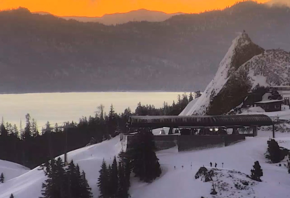
We picked up 10 inches at the base and 13 inches up top from the storm, around 4-5 inches more than forecast! A great little storm that dropped a nice refresh of powder on the slopes before we go into a drier pattern.
Dry Pattern Starts & NE Wind Event:
Enjoy the fresh powder Saturday morning as it could be a while before we see another powder day like it. High pressure is building in over the West Coast and will stay there through the end of the week. That will bring mostly sunny skies each day with highs in the 30s and 40s.
The trend over the last few days has been for an area of low pressure to back in over the far southwest by the middle of the week. With the strong high pressure to the north, a tightening pressure gradient between the two will speed up northeast winds over the Sierra Tuesday through Thursday.
Long-Range Forecast:
The drier pattern is expected to continue through the 2nd week of January, and possibly right through mid-month. We will likely have a lot of sunny days with highs in the 40s.
There are some signs of a pattern change during the 3rd week of January that could bring in some colder air to start and could eventually open the door to storms. We’ll continue to watch that closely to see when storms could return.
BA
