Snowfall Report:
The weak & mild system that moved through on Wednesday brought 2 inches of new snow to the upper mountain, and some rain and wet snow to the lower mountain. We were expecting 1-4 inches on the upper mountain, so the storm brought the middle of the forecast.
Drier Pattern:
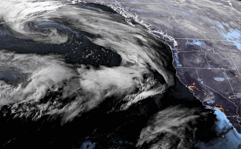
High pressure starts to build in Thursday and will start to push the storm track farther north. There is a storm off the coast that will move into the Pacific NW this weekend. The latest model runs continue to nudge the southern edge of the precipitation farther north.
That means we have less of a chance of seeing any showers this weekend, and likely just some clouds. Maybe a stray shower near the crest. Snow levels will be above 9000 ft.
Overall I’d expect partly sunny skies through Saturday with some clouds, and then mostly sunny for Sunday – Tuesday. Highs into the 40s for the weekend, and then into the 50s for the lower elevations near the base for early next week as high pressure strengthens over the West.
Long-Range Forecast:
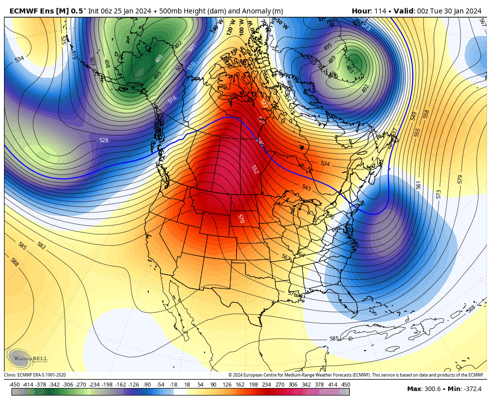
We are still expecting a pattern change to start on the 31st. Intially with an extended Pacific jet stream aimed at southern CA that will help to push in the first storm as early as Wednesday night. We look to see southerly flow on Wednesday with winds from the south gusting up to 60-70+ mph over the ridges.
That will slow the arrival of the precipitation and will be less favorable for the moisture to flow into the Tahoe basin. With the jet stream aimed to our south, the storm will likely split with the precipitation being drawn south into SoCal pretty quickly. We will likely see a period of snow Wednesday night into Thursday.
Right now it looks like inches not feet of snow. The storm is still beyond the 5-day forecast window, so we’ll look more closely at potential snowfall over the weekend as the first storm gets within the 5-day window.
The First Week of February:
The Pacific jet stream looks to continue to be aimed toward southern CA through the first week of February, but the ensemble mean models show some weakening, but with troughing forecast to remain over CA. We have been watching for this pattern to set up for the first week of February for a while now.
That pattern would keep the storm door open. The latest model runs are starting to show more storms moving into the West Coast through the first week of February. We could see a few decent snowstorms move through. Nothing screams BIG snowstorm as they could continue to move through quickly and to be drawn into SoCal, but we’ll continue to watch the trends and hope for a bigger storm!
BA


