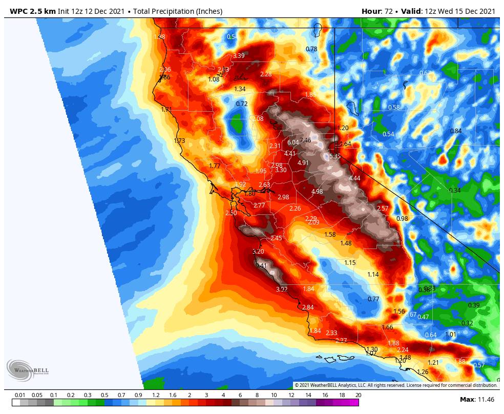
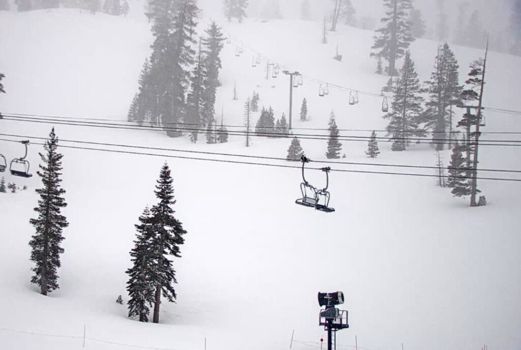
The storm started to move in during the early morning hours Sunday and the mountain had 2 inches of fresh snow by sunrise. That is just the beginning of this big storm. We will see snow through Thursday which will allow for terrain expansion for next weekend!
Sunday – Sunday Night:
The winds will be gusting to over 100 mph over the top ridges Sunday into Sunday night. Highs in the 30s at the base and 20s for the upper mountain. We are expecting moderate-heavy snow on the mountain with increased intensity Sunday night. Snow levels will fluctuate a little with the incoming surge of moisture Sunday night but should stay below the base through the storm.
By Monday morning we could have around 12-18″ inches of snow at the base and 1.5 – 2 feet of snow on the mountain.
Monday – Monday Night:
The heavy snow is expected to continue Monday into Monday night. So will the strong ridgetop winds up to 120+ mph. Highs still in the 30s at the base and 20s for the upper mountain. A front will bring reinforcement of heavy snowfall rates and then as the low off the coast moves inland Monday night we could see some of the heaviest snow of the storm along with falling snow levels and rising snow:liquid ratios.
We could see an additional 2-3 feet of snow at the base by Tuesday morning, and 3 – 4 feet on the mountain.
Tuesday:
Behind the front on Tuesday colder air pushes in and snow showers may continue through most of the day, especially over the mountain as the cold air is lifted and the atmosphere is still unstable. But generally lighter snowfall than what we saw for 36 hours. Then we should taper off by Tuesday evening and clear briefly Tuesday night.
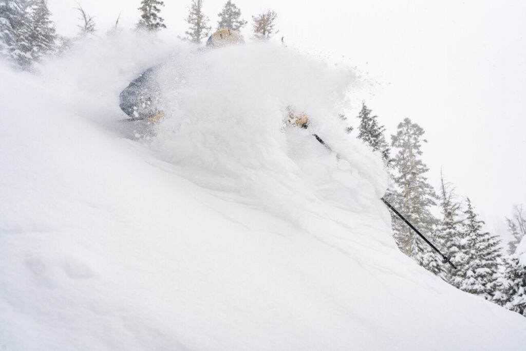
Highs for Tuesday may only be in the 20s at the base and teens up top. The strong winds will also finally fall off. That will finish out the storm with fluffy powdery snow with high snow:liquid ratios.
We could finish with a final 5-10 inches at the base and 6-12 inches on the mountain. That would be potential 3-day storm totals of 3.5 – 5 feet at the base and 5 – 7 feet on the mountain!
Wednesday – Thursday Storm:
Snow showers could move back in again by midday Wednesday and last into Thursday before ending by Thursday night. We could see some heavier snow for Wednesday night. This would be another cold storm with all snow to the base. Ridgetop winds increasing to 100+ mph again Wednesday and then falling on Thursday.
We could see an additional 8-13 inches of snow at the base and up to 12-20 inches on the mountain by Thursday night!
Next Weekend:
For now, the forecast models have a dry forecast from next Friday through the weekend of the 18th-19th. It should stay cold with highs in the 20s and 30s with some sun and lighter winds. I’m not sure if the mountain will still need to make any snow after the storms next week, but they will be able to if need be.
Long-Range:
The long-range models bring a pattern the week of the 20th that could see weak systems from the north with light snow and shots of colder air. If one of those storms can track just off the coast we could see a bigger storm. We’ll be watching closely and we will let you know.
BA


