

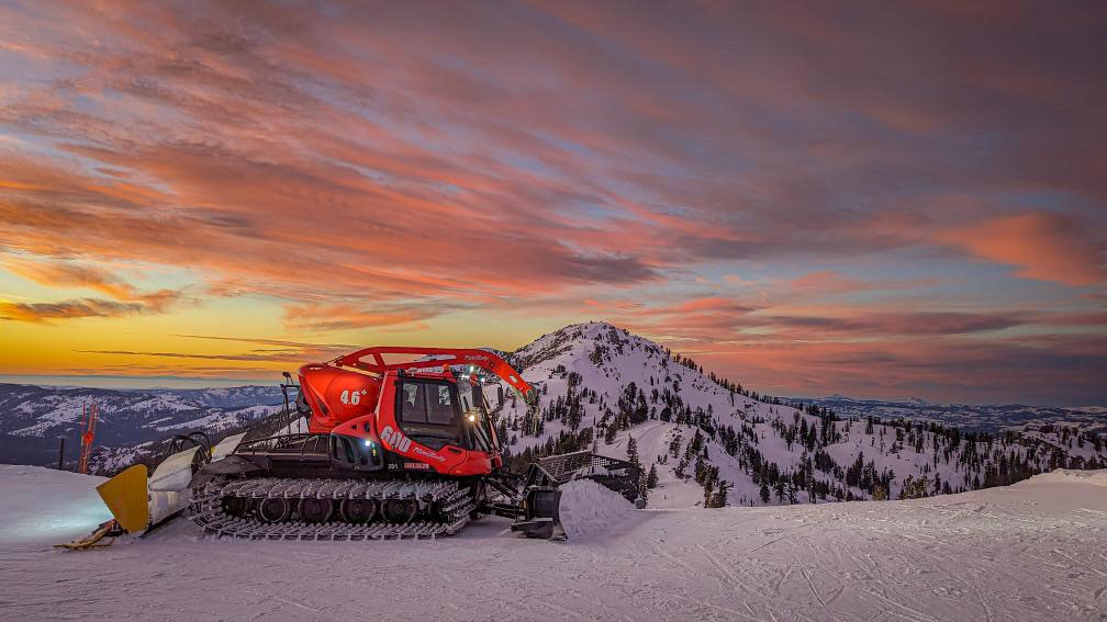
Operations Update: WE’RE BURIED! 32+ Inches of Snow in 24 Hours
Happy New Year! What an awesome way to start 2023: Across all of our elevations, we received more than 32 inches of snow. This storm has been an absolute whirlwind. There were moments when we thought it was going to be all rain, but snow levels dropped early yesterday morning and our snow totals have obliterated any projections. 32 inches is what we reported in the Palisades base area, so the higher you go, the deeper it gets. At one point, it was snowing 7 inches per hour yesterday evening! This storm set a record for our mountains as the most snow ever recorded in a 12-hour period. We were able to get quite a few lifts open today, and we’re adding even more to the schedule tomorrow ahead of another storm.
Operations Update: Major Storm Impacts to Affect Sunday Lift Operations
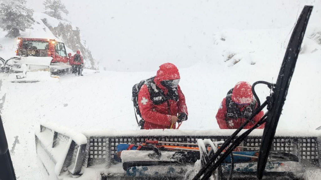
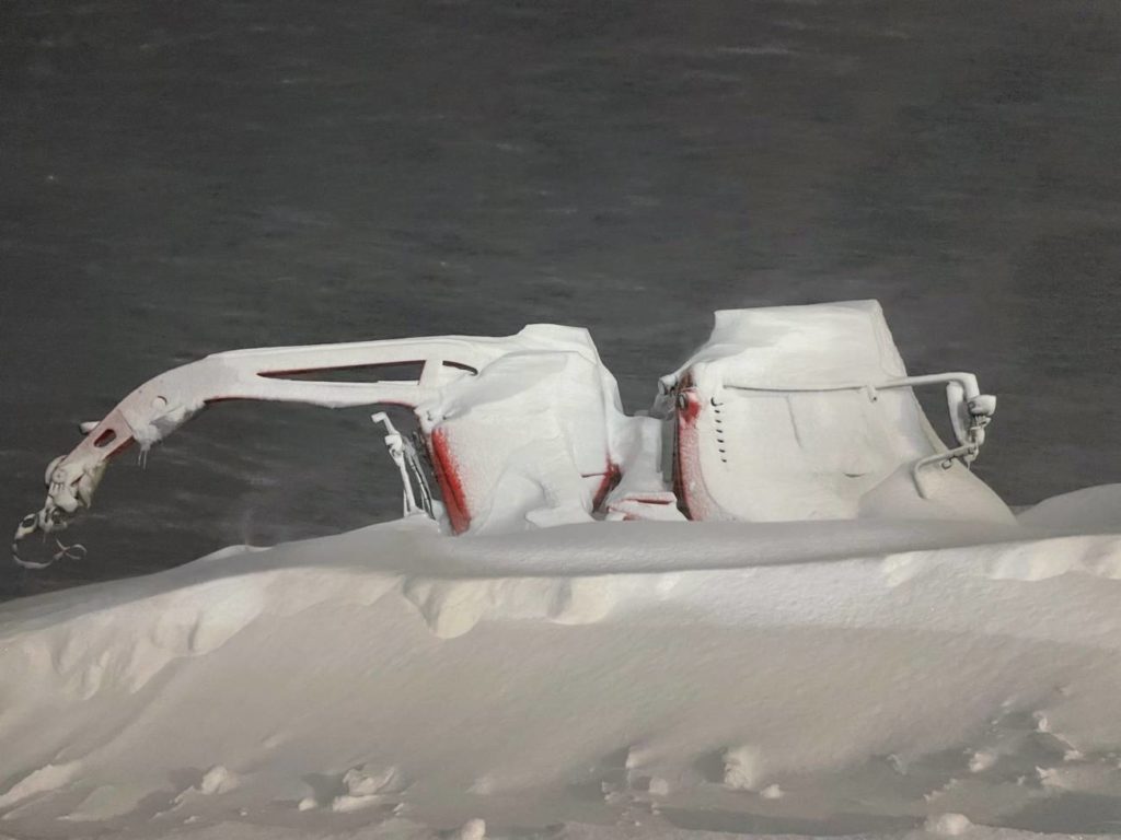
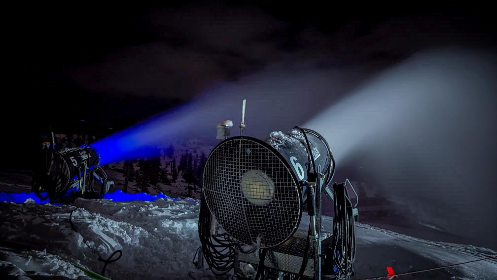
The ceaseless rain finally turned to snow at Palisades Tahoe just before sunrise this morning, but not before wreaking some serious havoc on the mountain. We experienced major flooding as our many creeks surged with water. This is one of the largest wet storms we’ve received in nearly two decades. While the water is much-needed, we are up against a series of challenges that will impact our lift operations for Sunday morning. We will be breaking lifts free from rime ice, performing avalanche control, and working to restore power at High Camp and near Ward Peak, while our grooming team will be doing a LOT of repair work on drainages and access roads. The good news is that IT IS SNOWING like crazy out there, and we have more snow in the forecast throughout this week.
Operations Update: Expect Delays on Sunday
After a brief break in weather on Wednesday, the wet, stormy cycle has returned. Ice is going to be the name of the game this weekend as we are receiving rain at several elevations with fluctuating snow levels. As you may know, it took a ton of work to break us free of all the ice buildup on Wednesday, and this storm we are getting currently has double the moisture. This means that the icing on lifts is probably going to be twice as bad. While the icing is likely to cause delays on Sunday, all of this precipitation is great: The snow on our upper mountains will be replenished, and our region desperately needs this rain. We are grateful for your patience while we work through these challenges with ice, and we hope these blogs help you understand more about everything we do to get the mountain ready.
Operations Update: Behind-the-Scenes of the Storm + Daily Recap
The Tahoe basin got pounded with some much-needed rain and a light dusting of snow throughout this Monday-to-Wednesday storm cycle. It nuked snow on our upper elevations the whole time without letting up. Our storm total for this first cycle on the upper mountain came out to 18 inches, and this is just the beginning. Our crews dealt with some seriously high winds and quite a lot of ice out there the past few days, but we were able to rally and get almost every lift back on the schedule and opened today. We know that the Palisades specifically experienced a few more delays than people were hoping for, so we’ll explain what happened in a moment.
Operations Update: Dynamic Weather Week Ahead To Impact Operations
With the winds beginning to pick up and a “parade” of storms on the horizon, we’re expecting a very dynamic weather week through the New Year. There is a good chance our upper mountain lifts will be impacted for multiple days, and some of our outdoor events or activities may be canceled or relocated. While the immediate aftermath of this enormous storm series will present some challenges, California NEEDS this moisture and our snowpack will be in great shape as we enter the New Year.
Dec 26-31st: Events + What To Expect for the Holiday Week at Palisades Tahoe
The holiday season is in full swing. Our events and activities schedule is jam-packed over the next few days. You won’t want to miss out on these fun and spirited occasions! While this tends to be one of our busiest times of the year, the forecast is shaping up to be very dynamic. We are expecting an influx of weather that is a wintry mix (meaning rain and snow) which could impact our operations at times. That said, we still have LOTS going on, plenty of indoor events, cozy spots to warm up, and more.
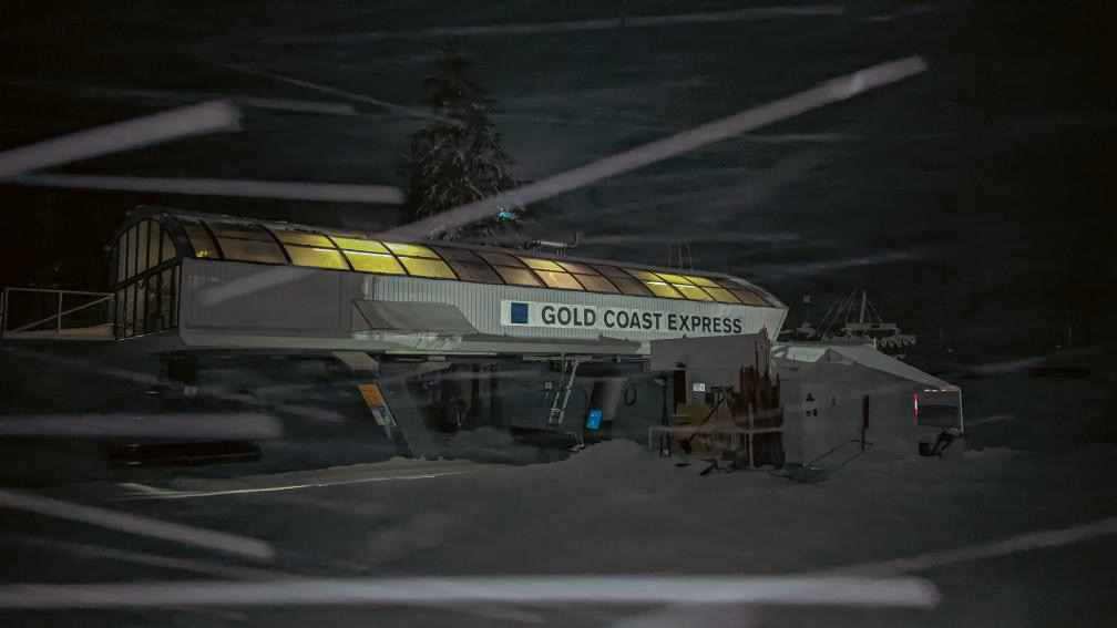
Operations Update: Base to Base Gondola + Red Dog Chair
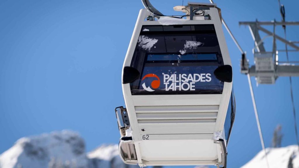
Throughout this week, we have been finalizing the work needed to complete the interconnect and allow the Gondola to run as one continuous lift. If everything goes according to plan, then the Gondola will re-open and will be able to operate as one complete loop by early next week. If there are persistent issues related to operating as one continuous route, we will open the Base to Base Gondola and operate it as we did for its opening, as two separate lifts with an offload/onload at KT mid-station.
Legends of Tahoe: Connecting Boreal to Lake Tahoe for a Ski Circus
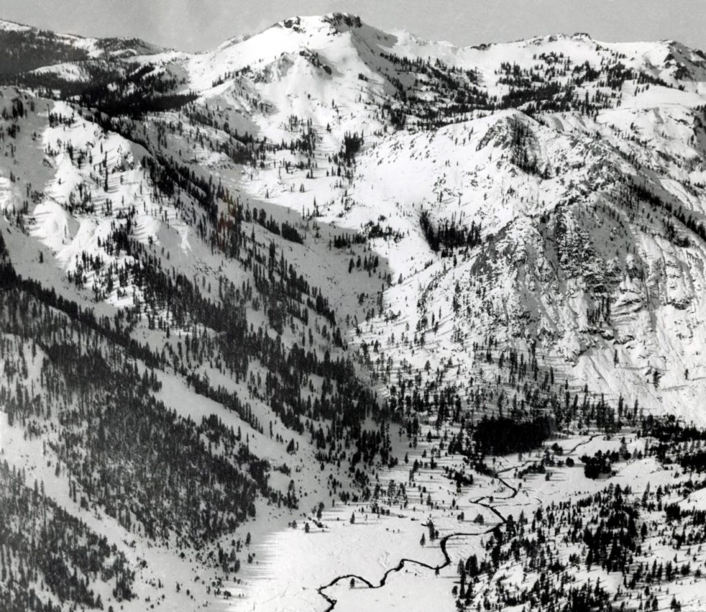
The construction of the Base to Base Gondola has long been a dream. For nearly a century, local resort leaders have imagined a European-style ski circus that would connect from Sugarbowl all the way to Lake Tahoe. This is a look at the history of their plans, and how pieces of it came to life.
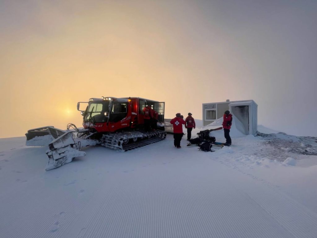
Operations Update: New Storm Totals, Construction Updates + Next Week Plan
We don’t have much that has changed from yesterday’s blog, but we want to repeat that this weekend will be impacted by weather. While Friday should be fairly clear, we expect lower mountain lifts only at both Palisades and Alpine, especially on Saturday. We will be performing avalanche control throughout the weekend, which can lead to delays or other lift impacts. We do not expect to expand terrain further until next week.
Operations Update: KT-22 Update + Big Storms Coming

OpenSnow’s outlook for the next few days calls for some intense snowstorms. We are likely to see several more FEET of snow by Monday. We’ll keep you updated here as we make progress in maintaining the mountains. Inside you’ll find predicted snow totals and an update on KT-22.