After a brief break in weather on Wednesday, the wet, stormy cycle has returned. Ice is going to be the name of the game this weekend as we are receiving rain at several elevations with fluctuating snow levels. As you may know, it took a ton of work to break us free of all the ice buildup on Wednesday, and this storm we are getting currently has double the moisture. This means that the icing on lifts is probably going to be twice as bad. While the icing is likely to cause delays on Sunday, all this precipitation is great: The snow on our upper mountains will be replenished, and our region desperately needs this rain. We are grateful for your patience while we work through these challenges with ice, and we hope these blogs help you understand more about everything we do to get the mountain ready.
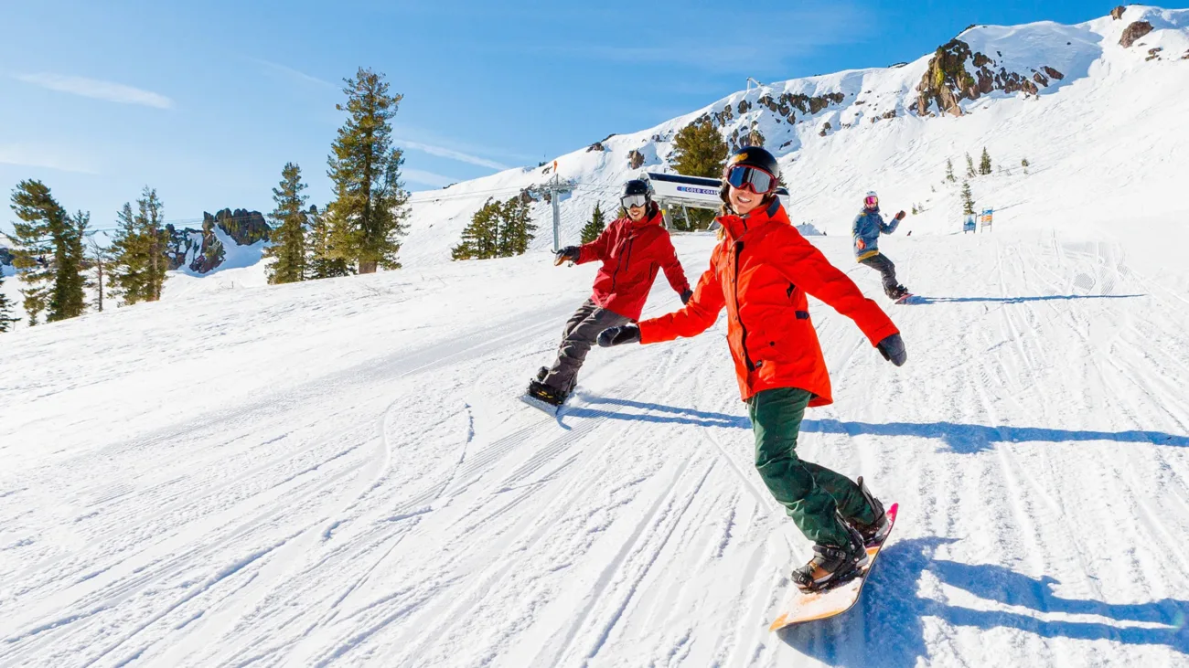
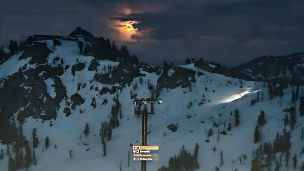
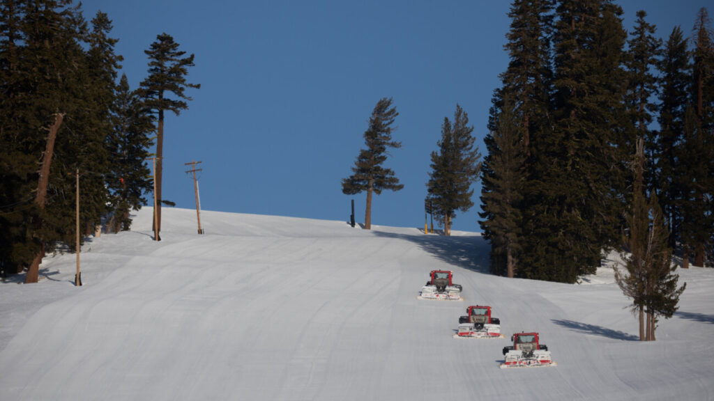
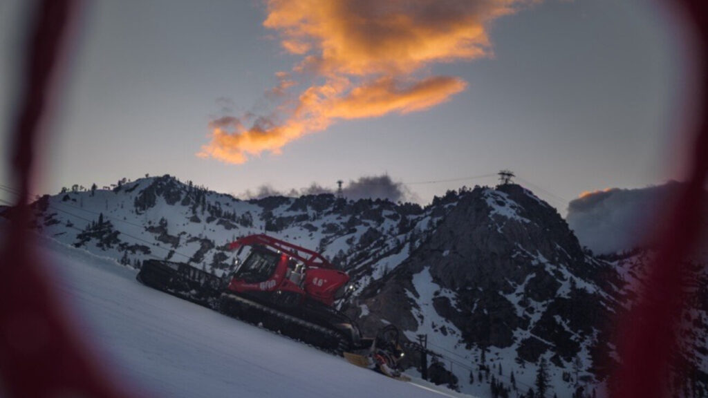
Photo above taken by Palisades Groomer Nick McMahon.
Weather Forecast
If you take anything away from today’s blog post, please let it be this: On Sunday, while the weather will clear, we will be very frozen and we predict we will be slow to open at BOTH Palisades and Alpine. In this storm cycle, we will be seeing up to 8 inches of moisture (that’s moisture, NOT a snow total), so the snow that falls will be heavy and wet at first. This morning was the warmest point in the forecast, so we are hopeful that the rain will start transitioning to snow throughout tonight and Saturday. However, with this temperature drop will also come rime ice — and we’re expecting a lot of it.
In case you missed our last blog, rime ice develops when droplets freeze instantly upon contact with a surface. We see it everywhere: on lift lines, on chairs, in terminals, and even on signage. We have to manually break all of this ice off of each chairlift before they can run, which is no easy task after a wet storm like this one.
In terms of snowfall, by Sunday morning we could see new snowfall amounts of:
- 1-4 inches at the base
- 4-28 inches at the mid-mountain elevations.
- 28-35 inches above 8,000 feet
To stay up to date on the storm forecast, we recommend reading our Weather Blog, where Bryan Allegretto of OpenSnow posts his forecast predictions daily during storm cycles. We also encourage you to save our Detailed Weather Data page for real-time information, as we have been experiencing issues with some of our weather sensors. We are currently updating our Snow & Weather page manually between 6am and 4pm.


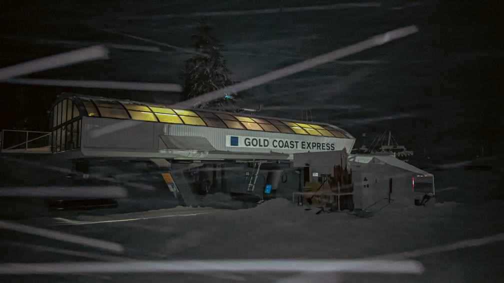
Gold Coast terminal lit up at night for a “night bump,” or spinning the lift overnight. More on why we do this below. Photos taken by Palisades Groomer Nick McMahon.
How We’re Preparing
Extreme weather means we’re working around the clock. Here are some examples of the work our teams do during these dynamic events to maintain or prepare the mountain:
- If the winds are going to be high (like over 100mph high), we take the chairs off of some lifts like Headwall. Some lifts, like Wa She Shu, can’t have the chairs removed, so we will spin the lift overnight if conditions allow. Our Lift Maintenance crews spin chairlifts overnight in storm cycles when conditions allow, doing what is called a “night bump.” Last night, we spun Shirley Lake, Granite Chief, Gold Coast, Big Blue, Resort Chair, Wa She Shu, Exhibition, KT-22, and the Funitel (with the cabins on) at Palisades. At Alpine, we bumped Yellow, Subway, Kangaroo, Roundhouse, Scott, and Summit. This can help prevent ice from building up. Overall, this strategy was successful last night in terms of stopping rime ice from building up, but this morning’s hazardous conditions and winds had us place most of these lifts on Patrol Hold or Wind Hold before closing for the day. We will continue to do night bumps throughout this storm where conditions allow.
- On lifts like KT-22, which has a difficult access road to maintain, we sometimes leave grooming machines at the top, so that Patrol can ride up the KT-22 chairlift in the morning and then take those snowcats over to Headwall to perform avalanche control and get set up. Patrol performs avalanche control throughout storm cycles.
- Depending on how much snowfall we are expecting, we will pull features from our Terrain Parks. We did this in both Tiegel and Belmont, and we will begin re-installing features on Sunday night.
- Given how much water this storm is bringing in, our grooming crew has been trenching and re-directing drainage away from lifts, trails, and facilities. Grooming may be limited tomorrow. Putting machines on snow that is this saturated with water can be detrimental to our snowpack. We will be focusing on areas with man-made snow.
- We have teams continuing to make snow when temperatures allow, as man-made snow tends to hold up better in these wet events.
What To Expect
Saturday
Saturday’s operations will probably look similar to today’s. We will open as much as we can as quickly and as safely as we can, but we do expect that there will be impacts to upper mountain lifts. You should expect windy, wet conditions. Snow levels will fall to 6,500 feet as the day moves along. For reference, the Palisades base is near 6,200 feet, the Alpine Lodge is around 6,800 feet, and our tallest peaks are near 9,000 feet. It was raining as far up as Siberia this morning.
Sunday
We can’t say it enough: Sunday is going to be a day with operational delays. Here are some visuals to help you understand what we’ll be up against:
This is Scott Chairlift on Wednesday. It was a huge task to manually break the ice off of every single chair. It was so frozen that we couldn’t even break it with the tools we normally use.
As mentioned above, we are getting twice the amount of moisture in this storm than we had in the Monday-Wednesday cycle earlier this week. This means that our lifts and chairs will be even more frozen than they were on Wednesday morning. With these conditions, lifts can get temperamental. For example, on Wednesday at Summit, after we broke the lift free and had it spinning, the grips refroze and we had to stop the lift and re-space the chairs.
Essentially, we are going to be problem-solving as we go on Sunday and we ask for your patience and understanding. We will not be open wall-to-wall at 9am. We also may have some terrain closures depending on how much snow we get.


These photos were taken by Steve Hurt, the Assistant Director of Ski Patrol at Palisades, on Wednesday. In the first photo, you can see from a distance how totally iced over the Headwall lift line is — completely covered! In the second photo, you can see rime ice built up on some of our on-hill signage. Again, we are expecting that Sunday morning will leave us twice as frozen as this.
Please Plan Ahead
Saturday, December 31st is the last day of the blackout period for Ikon Base Passes, Ikon Session 4-Day Passes, and Palisades Tahoe Military Passes. This means there are no pass restrictions on Sunday, January 1st, when the weather is finally going to give us some sun. We know everyone will be eager to ski and get some fresh snow. Here are our tips to help you have a smooth day:
- Leave early in the morning. Even on a day with operational delays, our lots can fill by 9am. You can see live parking lot status on the Palisades Tahoe app. If you want to get notified as lots fill, please make sure you allow app push notifications and have your location services turned on.
- Be patient. When you arrive early, you will probably have to wait in your spot in the lift line for a bit until we open. Dress warm, take turns getting hot food or beverages, and please know that we are moving as quickly and as safely as we can.
- Don’t leave the resort right at 4pm. When everybody leaves at the same time, congestion occurs. Consider leaving before 3pm or after 5pm instead.
LOOKING AHEAD
More snow is in the forecast! This winter weather does not appear to be slowing down anytime soon, which is great news. We have a small storm bringing us a dusting of snow on Monday night, followed by another large storm that could drop 2-3 feet of snow on our mountains. As always, we’ll keep you updated here on our Operations Blog and on our Weather Blog.
WANT THIS BLOG TO COME TO YOUR EMAIL INBOX?
Sign up for our Mountain Operations email list, and we’ll send this blog directly to you every time we have an update. We’ll share another update soon. Sign up here.
HOW ELSE CAN I STAY UP-TO-DATE THIS SEASON?
We’ll arm you with all the information you need to plan the perfect ski day any day this winter. Bookmark these pages:
Not wanting to check the website constantly? Try these other methods:
- Follow our Mountain Operations Twitter account
- Sign up for the Palisades Tahoe Ski & Ride Report (Weather Blogs, Conditions Blogs, + Operations Blogs are included here)
- Download the Palisades Tahoe App
Do you have any requests for this season’s Operations Blogs? Topics you’d like to see covered or information you think is missing? Send us an email at chatter@palisadestahoe.com with your feedback.

