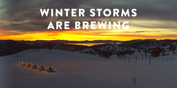
Operations Update: Winter Storm Moving In!
Winter weather returns to the Sierra Nevada this weekend. There is significant (even by Sierra storm standards!) precipitation in the works, so let’s talk about what’s going on.
Summary
Friday afternoon, precipitation will push into the Tahoe Basin. Strong winds will accompany high snow levels. High winds will stick around through Saturday before temperatures drop and the heaviest snowfall moves into the region Saturday night into Sunday morning. Daytime snow showers will linger through Sunday before another wave of heavy snowfall Sunday night into Monday morning. At this time, NOAA is projecting enough liquid for up to three feet of snow by Sunday morning, and possibly an additional two feet by Monday morning.
Operations
- High winds and heavy rain will significantly impact available terrain and lift operations by Saturday.
- Rapidly falling temperatures and heavy overnight snow (2-3 feet possible at highest elevations) will likely lead to delayed openings due to lift icing and snow safety on Sunday. High winds may affect lift operations Sunday as well.
- Heavy overnight snow (1-2 feet possible at highest elevations) and the potential for icing, wind, and snow safety will likely lead to delayed openings on Monday morning.
The new snow is going to be awesome, and forecasters believe we’ll be left with multiple feet of snow, which means powder turns will be had! Remember, with large storm events, that bring rain and snow, come high winds, the potential for ice to affect lifts and big snowfall. Protecting the safety of our guests and employees is our priority. We encourage you to download our app or visit our real time lift + trail status page here for the most up to date info.
Traveling
Be sure to check the CalTrans website for information on road closures. According to NOAA:
“Significant travel impacts are anticipated for the Sierra and northeast California with moderate to heavy snowfall rates into Sunday morning. Even though snow levels will be down to all valley floors in Western Nevada, snow may not readily stick and accumulate to the warmer roads. At the very least, drivers across the region should anticipate slick conditions for the lower valley floors and snow covered roads above 5500 feet.”
Travel over highway passes on Sunday night will likely be negatively impacted by snow and high winds.
Looking Ahead
Tuesday we’ll see a break and MORE snow is ahead next week. Miracle March is on!


