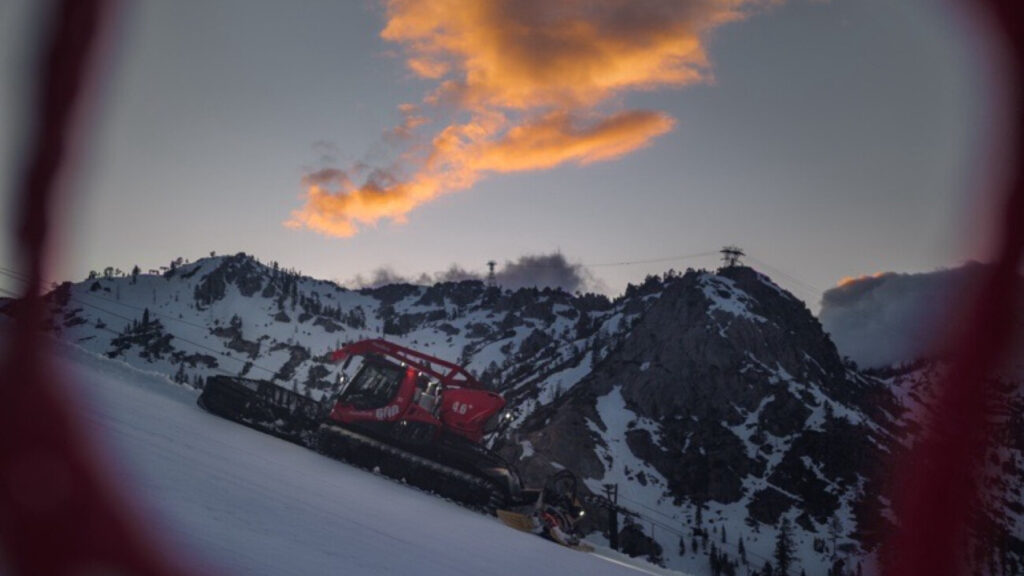
Today’s Operations: November 27, 2017
We received 7″ in 24 hours, which made for a nice little powder day! This season is already off to a great start. We’ve already received 50″ of snowfall this season, and on average, November typically sees 36″ – that means we’re currently at 139% of average!

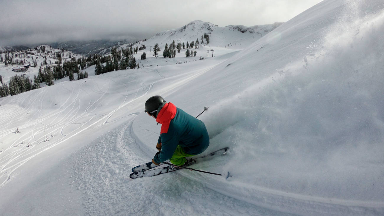
Powder turns off Siberia Ridge, November 27
Today’s Lift Delays
Mother Nature did not quite cooperate with us during this particular storm. While we received 7″ of new snow in 24 hours and conditions were awesome, on Sunday we experienced significant rain up top. This is not a good thing when it comes to operating lifts. When you mix rain, cold temps, 100+ mph winds and metal chair grips – you’ll get frozen chairlifts.
How Does Removing Rime Ice Work?
- Crews went out at 5:30am to start removing ice from all chairlifts. Note: Funitel saw no ice build up and the Aerial Tram only saw ice build up at the top terminal i.e. High Camp, el. 8200′.
- Crews must stop every chair in the top and bottom terminals and remove ice from each and every chairlift grip on detachable lifts. Note: a grip connects the chair to the chairlift cable.
- To give you an idea, Siberia has 54 grips, Shirley has 58 grips. These all need to be completely cleared of ice in order to operate.
Shout out to the lift mechanics for getting out there in the dark to start removing ice from every chair – we appreciate you!

Ice build up on chairlift this morning, November 27
Terrain Expansion?
Alpine Meadows
Next on the docket is Summit and Alpine Bowl Chair. Our Patrol Team was out there today working on set up and now we just need temperatures to drop that will allow us to make snow at the base. We’re not entirely sure on the opening day of these lifts, but we’re watching temperatures closely. Stay tuned for updates this week!
Squaw Valley
When temperatures drop, we’ll be focusing on Mountain Run for top to bottom skiing and riding. We’ll also be looking at Red Dog and Squaw Creek once temperatures allow. No opening date set just yet, but we hope to know more in the next couple of days.
Weather Update from Official Weather Blogger
More Snow This Weekend
Short Term Forecast
- Through Saturday we are expecting dry conditions with highs in the 40’s and lows in the 20’s. That will allow for decent snowmaking conditions at night to cover more lower mountain terrain.
- On Saturday clouds and winds may increase ahead of the next storm.
Next Weekend:
- There is another cold trough that will trough to move into the area next weekend. We could see more snow Saturday night into Sunday.
- The forecast models are back and forth on how much moisture the storm will have, so we will continue to watch it all week.

