**7:00 PM Update on Thursday, February 19**
New post: Storm Cycle Update: Full Re-establish and Recovery Mode
**11:00 AM Update on Thursday, February 19**
Palisades lifts are closed except First Venture and the Ashoka Carpet. Kids and beginner lessons are still running.
At Alpine, TLC, Roundhouse, Meadow, Subway, and the Big and Little Carpets are open.
Please check the Mountain Report and Ikon Pass app for the latest updates and be prepared for possible wind holds.
Review our deep snow safety tips before heading to the mountain.
**9:50 AM Update on Thursday, February 19**
All lifts at Palisades will be closed for the day, with the exception of First Venture and Ahsoka carpet.
Keep an eye on the Mountain Report and Ikon Pass app for the most up-to-date information.
Review our deep snow safety tips before heading to the mountain.
**8:50 AM Update on Thursday, February 19**
Crews are working hard this morning and are aiming to have all scheduled lifts open around 10:00 AM. Please note that lift openings may be delayed depending on ongoing storm recovery work.
**6:15 AM Update on Thursday, February 19**
We are reporting another 15 inches of new snow overnight on our upper mountain, bringing the 24 hour total to 21 inches and the storm total to 97 inches. The forecast is for another 6-10 inches today and 1-3 inches tonight. The wind is forecast to taper off this morning. With more than a foot of fresh snow overnight we will be doing full avalanche mitigation work again.
Today’s operational plan:
- Our primary goal will be for lower mountain lifts at 9am, this may be delayed.
- Our secondary goal is to start moving up the mountain. Once we get a handle on the lower mountain, teams will start making their way toward the upper mountain. We have not been able to access most of the upper mountain throughout this storm and travel will be VERY VERY slow and we have a ton of work to be done.
As always, keep an eye on the Mountain Report and Ikon Pass app for the most up-to-date information.
Deep Snow Safety Reminders:
- Closed terrain is closed. Please respect all rope lines and closures.
- Ride with a partner and maintain visual contact.
- Avoid tree wells and the base of trees in deep snow.
- If you fall, attempt to fall feet first.
- Consider carrying appropriate rescue equipment and know how to use it.
**Original Post**
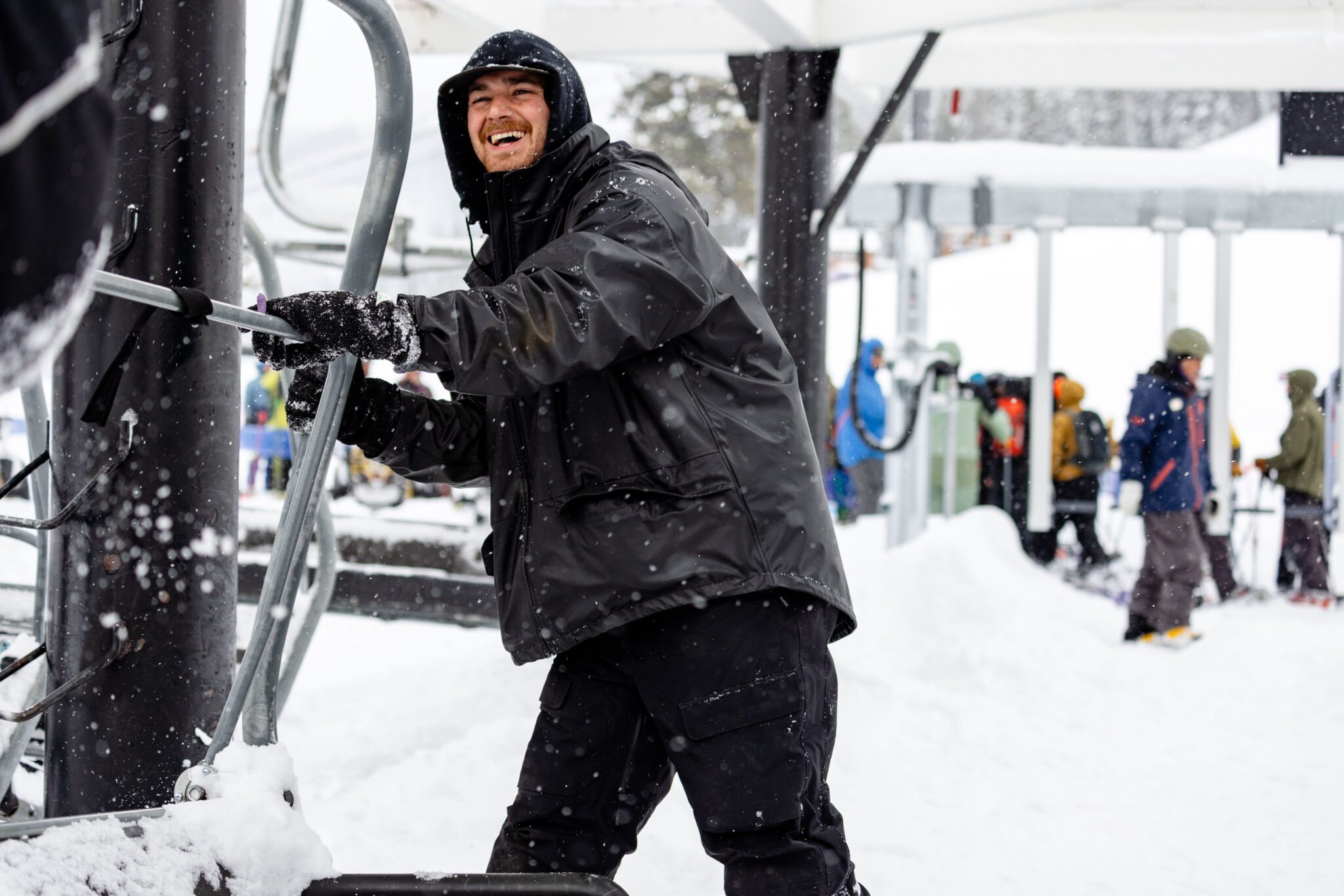
This storm cycle has delivered remarkable snowfall totals across both mountains, creating a truly deep winter environment. All credit is owed to the extraordinary efforts of our Mountain Operations teams, who worked relentlessly to get lifts and terrain open amid heavy snow, cold temperatures, and ongoing complexity brought on by the storm.
Weather & Storm Totals:
As of early this morning, this storm cycle has delivered significant snowfall across both mountains. Storm totals reached approximately 5 feet at the base and over 6 feet on the upper mountain, with exceptionally cold temperatures producing very light, dry powder. These conditions are driving both outstanding snow quality and a complex snow environment as new accumulation continues to rapidly load the existing snowpack.
A brief lull in snowfall was seen today, but snow showers are expected to increase again this evening and continue through the day tomorrow. Ridgetop winds are forecast to increase into the 40–50+ mph range overnight and Thursday, with colder temperatures remaining in the teens and 20s. Additional accumulation through Thursday could bring another 1–2 feet of snow, pushing total storm amounts into the 6–8+ foot range for this multi-day storm series.
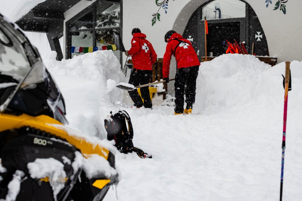
These ongoing weather impacts mean avalanche mitigation work will continue to require a cautious, deliberate approach as teams balance access, mitigation, and evolving conditions.
Deep Snow Safety Reminders:
Avalanche mitigation work is ongoing where access allows. While crews have been able to make incremental progress rebuilding access routes, conditions remain highly dynamic and dependent on real-time weather, visibility, and overnight snowfall. Terrain closures, delayed openings, and intermittent lift holds should be expected as work continues.
- Closed terrain is closed. Please respect all rope lines and closures.
- Ride with a partner and maintain visual contact.
- Avoid tree wells and the base of trees in deep snow.
- If you fall, attempt to fall feet first.
- Consider carrying appropriate rescue equipment and know how to use it.
Educational Resources:
Know before you go. Take 10 minutes to watch the short B.A.S.I.C.S video presented by High Fives Foundation, Ski California, and the National Ski Areas Association. Hear from pro skier Elyse Saugstad, Palisades Tahoe Ski Patrol member Kyle O’Neal, and Alpenglow Expeditions guide Logan Talbot as they share how they stay curious and navigate risks.
For introductory or continued avalanche education, get in touch with our friends at Alpenglow Expeditions. Their skilled guides offer a wide array of courses and a breadth of knowledge on tools and techniques.
Plans for Tomorrow:
If the forecast holds, tomorrow is expected to begin with a slow, phased start, similar to today. Operations are anticipated to remain focused on lower-mountain terrain while teams continue mitigation work and rebuild access routes as conditions allow.
There is no guarantee of expanded terrain or lift operations, and plans may change quickly based on conditions. Guests should be prepared for delayed openings, temporary lift holds, and a highly dynamic operating environment throughout the day.
A tentative, modified upper-mountain plan is being evaluated for tomorrow. Any upper-mountain operations will be entirely dependent on how conditions evolve overnight, including snowfall amounts, wind speeds, visibility, and the progress of avalanche mitigation work.
This could include lifts added to the schedule such as:
Palisades:
- Funitel, Gold Coast Express, Big Blue Express, and Shirley Lake Express
Alpine:
- Summit Express, Scott, and Lakeview
This plan remains highly conditional and may change. Please continue to check the Mountain Report and Ikon Pass app for the most up-to-date information.
Looking Towards the Weekend:
With 6–8+ feet of new snow expected from this storm series and improving weather projected Friday into Saturday, guests should plan ahead and allow extra time for travel, parking, and lift access.
Limited parking reservation inventory remains for the weekend. We strongly encourage guests to secure parking reservations in advance or explore alternative transportation options, including carpooling, rideshare, and regional transit solutions. There are many ways to get to the resort even when parking reservations sell out.
If you’re planning to visit the resort in the coming days, we encourage our guests to prepare in advance. Please fill your gas tank and pick up groceries or essentials before heading into the Tahoe area, as services can be limited during major storm cycles.
Be sure to check the weather forecast before traveling and confirm that you have the proper traction devices for your vehicle, and know how to install them if conditions require. For the most up-to-date road information, download the Caltrans QuickMap app or visit QuickMap.dot.ca.gov prior to departure.
We appreciate the patience and understanding of our guests as our teams continue working at the speed of safety. Please continue to check the Mountain Report and Ikon Pass app for the most up-to-date information before heading to the mountain.