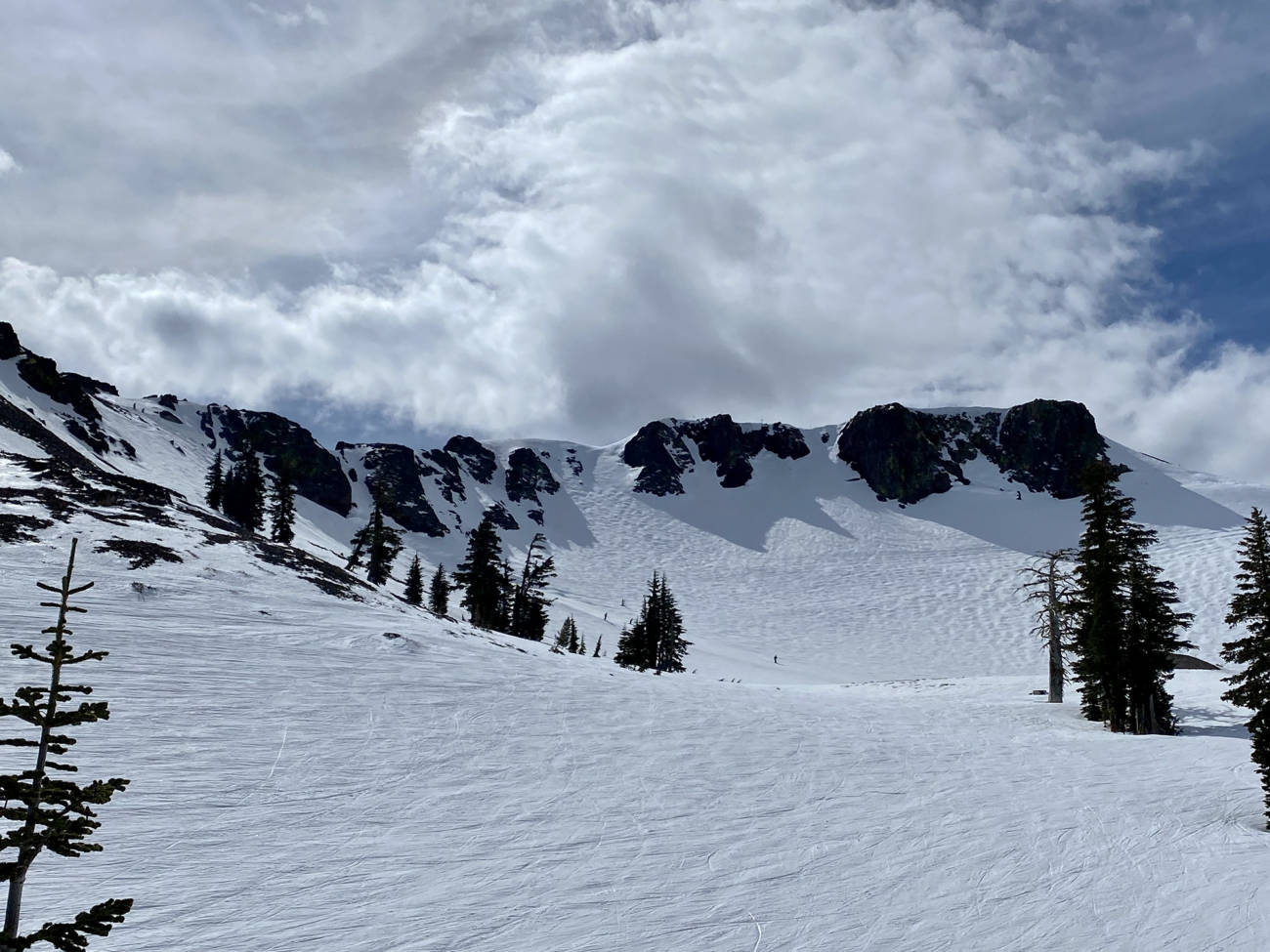
Change is in the air today as sunny and mild weather gives way to increasing winds and cloud cover as a storm approaches Tahoe.
I arrived at Palisades Tahoe at about 10:00 this morning under mostly sunny skies with the temperature rising up into the 40s. By first impression, it seemed as though today would resemble the same weather & conditions as the past week—but while booting up in the parking lot, a few cool breezes reminded me that a storm is on its way to Tahoe. I opted for my shell jacket rather than the hoodies and long-sleeve tees that my snowboarding wardrobe has consisted of recently and made my way to KT-22.
Although not surprising for a Thursday morning, I was pleased to round the corner of the Funitel and see there was no lift line for KT, or any other lift I could see for that matter. I took a warm-up lap down the Saddle where the snow was still relatively firm on the North face of KT-22, followed by a second run down G.S. bowl where the snow had softened up a bit in the sun on KT’s South Face.


Deciding to go easy on my legs with a storm on the horizon, I left the mostly moguled-out KT-22 and loaded Headwall for Siberia Express. Despite some blustery ridge winds, Siberia had softened up by late morning and was offering some great turns on smooth corduroy. Siberia Bowl to Yellow Trail was my run of choice, with variable conditions up top followed by soft groomers and a ridiculously fun roller to jump over on Yellow Trail.
After a couple runs down Siberia, I loaded Big Blue towards Shirley, which has been consistently good during this past week of warm & sunny weather. Today was no exception, despite the fact that today’s breeze and slightly increased cloud cover kept the snow slightly firmer through the early afternoon.
One final descent of Mountain Run ended my day on a high note with tons of fun side hits and soft corn snow.
The weather will shift drastically by tomorrow morning, as the incoming storm makes way into the Tahoe Basin. Snow levels will start off relatively high, meaning there is a chance of some mixed precipitation in the morning, followed by wet snow as temperatures drop later in the day. Most of our forecasted 5-13” should come Friday evening into Saturday morning, setting us up for a fantastic weekend ahead.


