Snowfall Report:
Snow showers continued to fall Sunday with a fresh 5-7″ of snow being reported in the past 24 hours as of 6 AM Monday. That brings the 2-day storm total to 22 inches so far on the upper mountain and 9 inches in the village.
Monday Snow:
Snow showers continue for Monday. Better coverage during the morning and then becoming more scattered into Monday night. Slower winds but still possibly gusting up to 40-50+ mph at times up top. Highs in the 30s at the base and 20s up top.
We could see a final 1-3″ at the base and 3-6 inches on the mountain by Tuesday morning, on top of the 9-22″ that has fallen so far from bottom to top.
Tuesday – Thursday:
We should see mostly sunny skies by Tuesday afternoon through Thursday, and cold with highs in the 30s at the base and 20s on the upper mountain. We should see lighter winds, through Wednesday. By Thursday afternoon the winds could pick back up ahead of the next storm, gusting up to 40+ mph from the southwest by afternoon.
Friday – Saturday Storms:
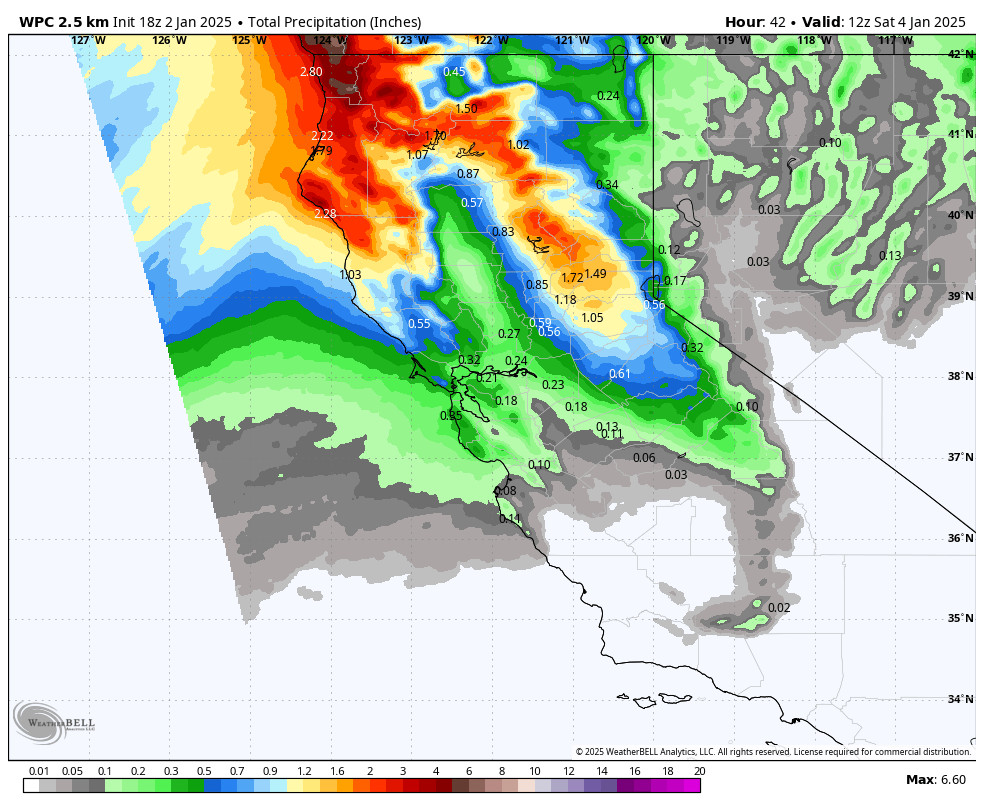
A weak front is forecast to move through after midnight Thursday night into Friday. It looks like it may weaken quite a bit as it moves through the Sierra. We could see a few inches of new snow Friday from this system. We could also see gusty southwest winds gusting up to 60-70+ mph up top, possibly affecting some lift operations.
A wetter storm is possible for Saturday that could drop over a foot of new snow on the mountain. It’s still very early to predict snowfall for these 2 storms, but by Sunday morning we could see 1-2 feet of new snow on the mountain from them. We will continue to watch the trends and fine-tune the forecast all week.
Long-Range:
Additional storms are possible the week of the 12th as the pattern could remain active up until at least mid-month. There are a few signs that we could see a quieter pattern after mid-month, but that could change. We’ll continue to watch the trends and keep you posted.
BA


