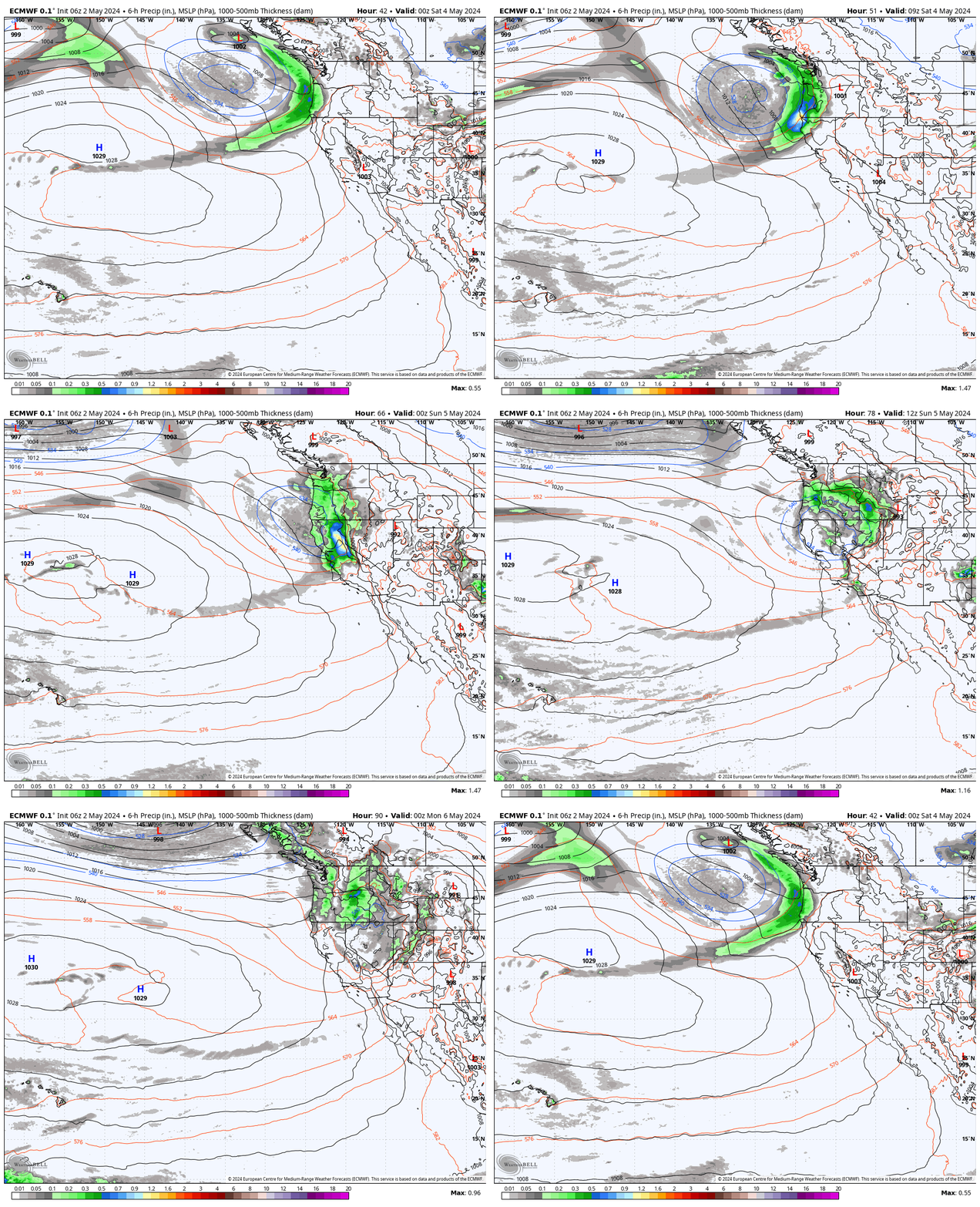
Saturday Storm:
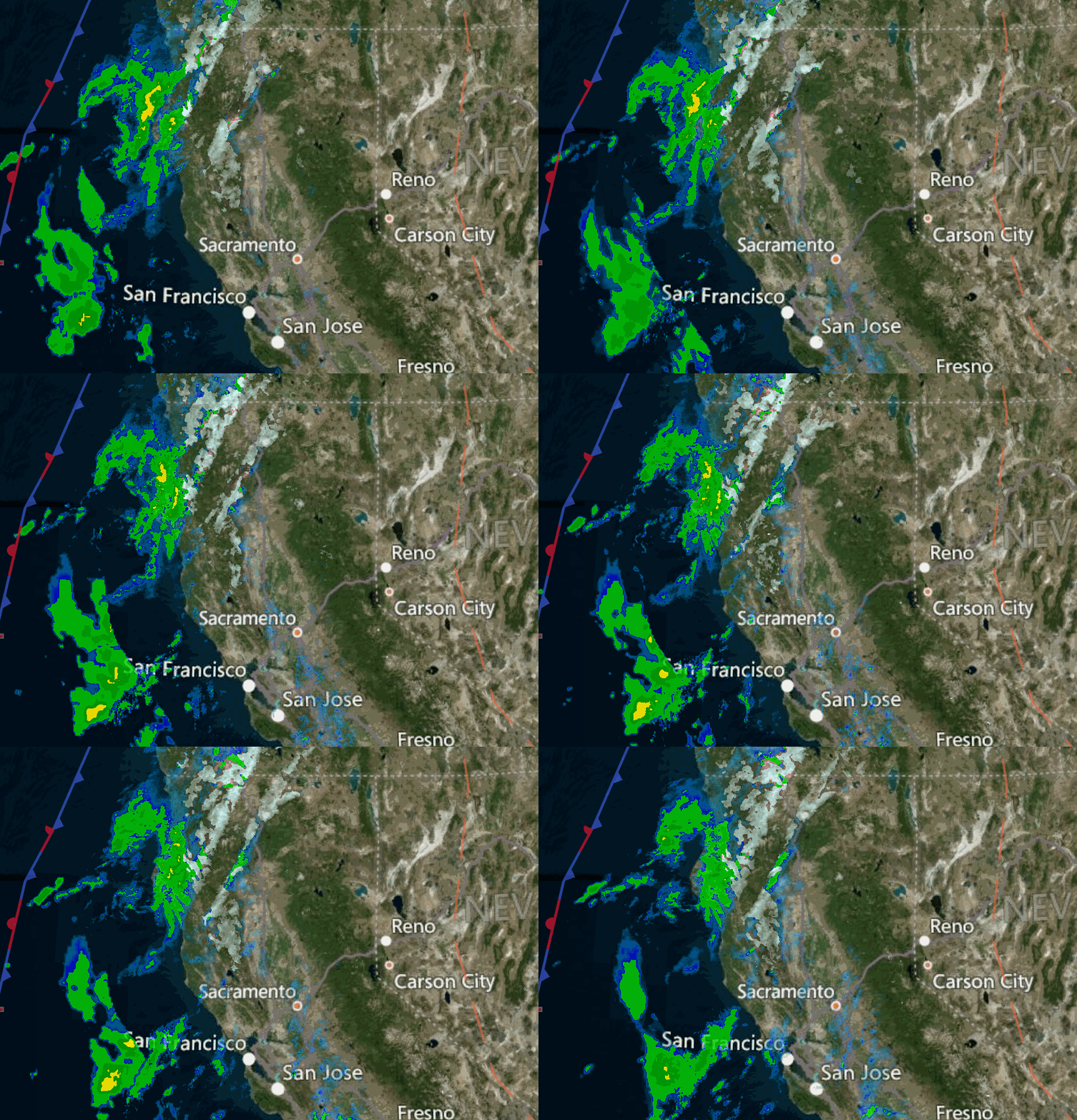
The next storm moves in Saturday morning between 7-9 AM with rain & snow showers, with scattered showers possibly lingering into Saturday evening before clearing completely by later Saturday night. Highs drop into the 30s for Saturday.
Gusty winds up to 70-80+ mph from the southwest up top in the morning dropping through the afternoon. That could delay some upper mountain lift openings.
Snow levels could start around 6500-7000 ft. Saturday morning, falling to around 6000-6500 ft. during the afternoon, and then below 6000 ft. Saturday evening. That means we could see some rain at the base before the change to snow later Saturday. Any heavier showers could help to drag snow levels lower at times.
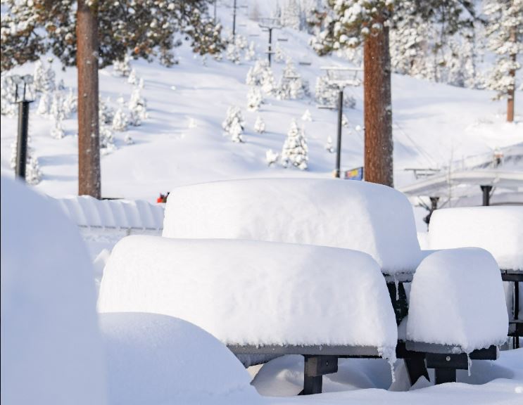
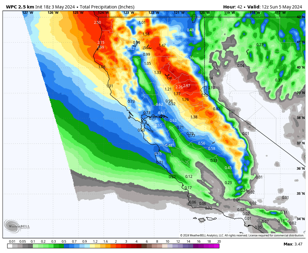
We could see 1-3 inches at the base and 2-5 inches of new snow on the upper mountain by Saturday evening. It will start out as a wetter snow and windy in the morning and then it becomes colder with winds coming down some later in the day.
Sunday Winds:
The sun returns Sunday but chilly with highs in the 30s up top and 40s at the base. The winds turn north-northeast and could crank back up with gusts up to 70-80+ mph up top by midday. That could affect some upper mountain lift operations again on Sunday, and the winds will make it feel colder than the air temperatures.
Monday – Saturday:
High pressure builds in through the end of next week. We should see mostly sunny days and mild temperatures. Highs into the 40s up top and 50s at the base Monday – Tuesday, and then into the 50s & 60s by Wednesday – Thursday. Then we could cool a few degrees for Friday – Saturday.
Breezy north-northeast winds are possible up top Monday with gusts up to 50+ mph. Then we should see lighter winds starting Tuesday.
Long-Range:
The ridge begins to break down by next Sunday the 27th, with a trough digging into the West Coast. That could open the door to a storm moving in with colder air and more rain & snow between Sunday the 27th – Monday 28th.
We could see another storm before the end of the month. We’ll continue to watch the trends as we get closer.
BA

