The Week Ahead:
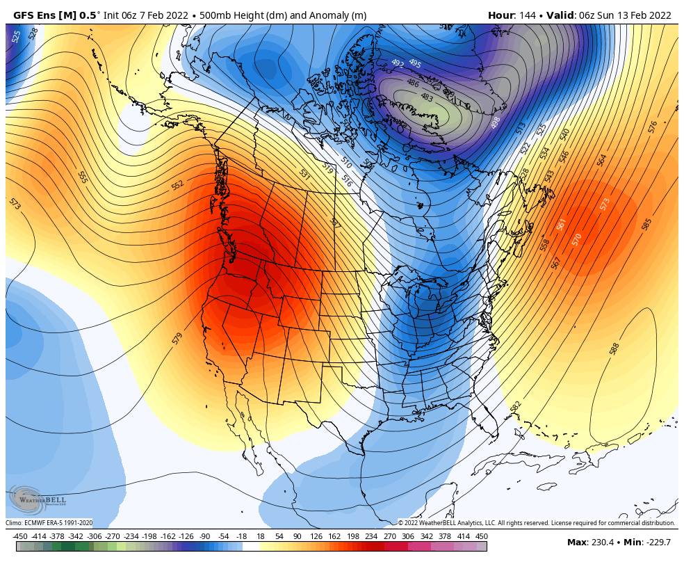
Monday through Sunday the 13th more of the same weather is expected. Mostly sunny skies with highs into the 40s on the mountain and 50s at the base.
The winds look light most of the week but a chance for some breezy/gusty northeast winds up top several days.
The 3rd Week of February:
There are some signs that high pressure could start to shift away from the West Coast starting around the 15th. That may allow in some colder air and weak systems in from the north next Tuesday & again after the 19th. These systems don’t look to bring much precipitation right now and could also miss us, but there’s a chance for snow showers with each. We’ll continue to watch the trends.
Long-Range:
Going into the last week of the month (beyond the 21st) there are some better signs that the pattern could open up to storms that could bring some measurable snowfall. We will continue to watch this trend as well. We are still at least 10 days from any storms so confidence is still low until storms show up in the one-week window.
We’ll keep tracking and let you know when confidence is building in a return of storms and new snow!
BA


