Snowfall Report:
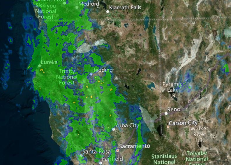
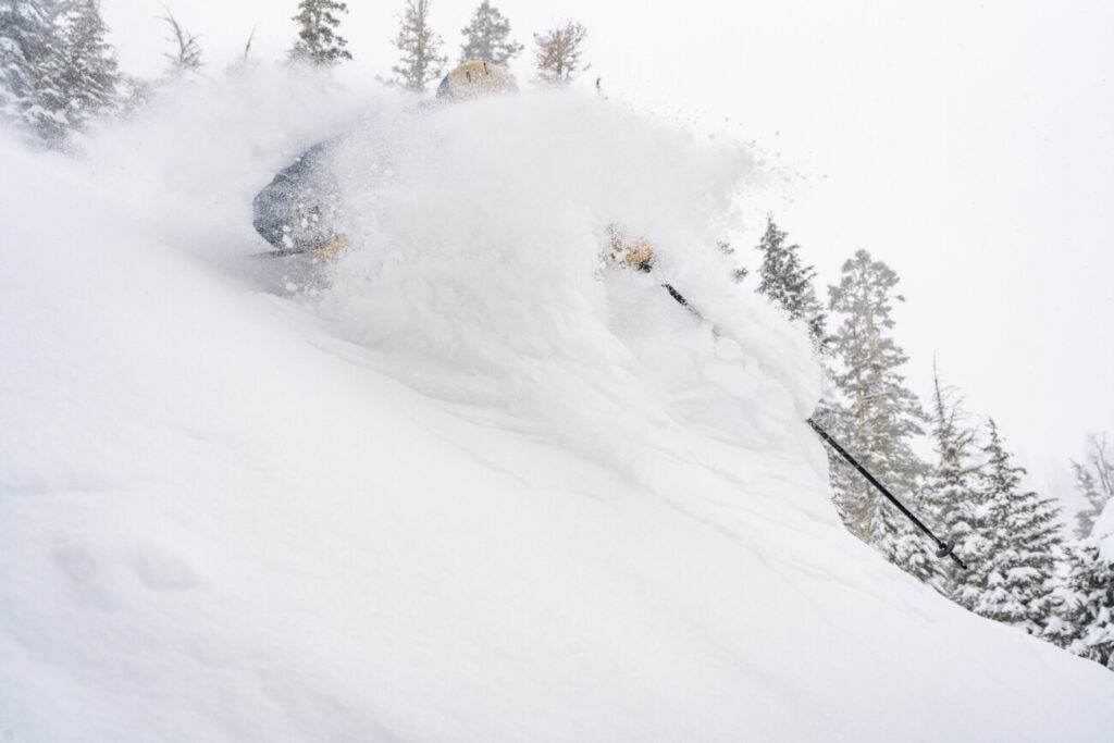
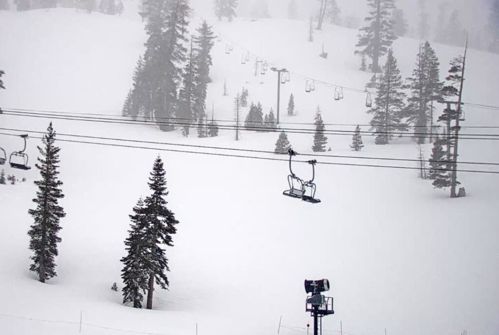
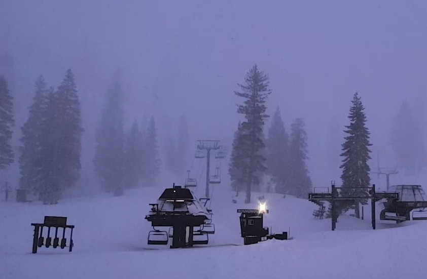
Light snow moved in during the early morning hours dropping a fresh 3 inches of snow on the upper mountain as of 6 a.m. That brings the 2-day total to 5 inches up top. At the base, we saw just rain overnight and into this morning, with snow levels hovering around 6500-7000 ft.
Monday Storm:
The light precipitation continues this morning with snow levels holding above the base, and then heavier precipitation during the afternoon as the cold front approaches and moves through. Then snow showers behind the front could linger into the evening before ending by 10 PM.
Snow levels drop to the base by evening, and the timing of that this afternoon is not certain. Heavier precipitation could drag them down a little earlier. The timing on the snow levels dropping later in the day will make a big difference for snowfall amounts at the base. Ridgetop winds will be gusting from the southwest up to 100+ mph and will likely close down some upper mountain lifts for the day.
The forecast for total snowfall amounts is 1-5 inches at the base after a change to snow later in the day, 9-13 inches at mid-mountain, and 11-15 inches of new snow up top by Tuesday morning.
Tuesday – Thursday:
A break in the action for Tuesday with mostly sunny skies and highs in the 30s on the mountain and near 40 at the base. Winds drop off in the morning and turning southerly. Wednesday we may start sunny with increasing clouds during the afternoon. Highs in the 30s again with ridgetop winds increasing from the south to 50+ mph during the afternoon.
The next (weak) system moves through quickly Wednesday evening. Snow levels starting above 7000 ft. & falling below the base. Based on the latest forecast model trends, we may just see a dusting to an inch at best with this system as it brushes us as it moves through to the north.
Another break in the action for Thursday with mostly sunny skies and highs in the 30s on the mountain and 40s near the base. Lighter winds expected
Friday System:
The active pattern this week continues with another system moving through northern CA on Friday. This is another weak system but it may dig far enough south to bring light snow to the mountain during the day. Ridgetop winds could increase to 60+ mph. Snow levels look to start out below the bases with this system.
Based on the latest trends, we could see 1-3 inches of new snow at the base & lower mountain, and 3-5 inches on the upper mountain Friday.
Long-Range:
A drier pattern may begin to build in starting this weekend and could last for a week or more. Expecting mostly sunny skies for the weekend with highs in the 30s & 40s. That weather could continue through the week of the 11th.
We will continue to watch the trends in the pattern beyond mid-month to see if/when we could transition back into a more active storm pattern again.
BA


