Snowfall Report:
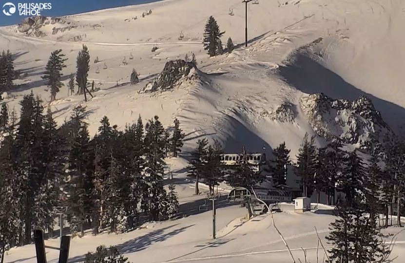
The wetter model forecasts were right as we saw over an inch of liquid fall on over the mountain Wednesday afternoon-evening! We did see some rain at the start at the base, but snow levels fell fairly quickly into the evening and we picked up 5 inches of new snow in the village.
On the mountain, we saw 5-15 inches of snow from bottom to top, which is several more inches than we expected from this first of two systems!Thursday System:
It’s a cold morning with temperatures in the 20s and the winds have come down some. We are even seeing a little sun between storms.
The winds will pick back up ahead of the next system moving in with ridgetop gusts up to 60+ mph by afternoon. Highs only in the 30s. We will see the clouds increase again through the morning with snow showers expected to move through during the afternoon-evening hours from a weak system moving through, mainly to our north.
Snow levels are expected to stay in the 4500-5500 ft. range through Thursday evening. That will keep this storm as all snow to the base of the mountain. The latest model runs still show only 0.1 – 0.25 inches of liquid in total through Thursday evening, and then the storm clears out overnight. That is enough liquid for 1-3 inches of additional snowfall.Friday Weather:
Friday we will see the sun come out and the winds drop off, along with colder temperatures in place. Highs only in the 30s for the lower elevations near the base and 20s for the upper mountain.
Weekend Weather:
High pressure builds in over the West Coast through the weekend with mostly sunny skies expected and highs warming into the 40s for the lower elevations. 30s above 8000 ft.
Long-Range Forecast:
We continue to be in a pattern this winter where troughs struggle to push far enough south into California, and then high pressure quickly builds back in for several days.
We were hoping for a trough (blue) to dig into the West Coast around mid-month, but the latest model runs show any troughs struggling to push in with high pressure over the West. That has any chances of a good storm around mid-month disappearing on most of the long-range models. At best they show a system weakening considerably as it reaches the Sierra around the 16th. We’ll continue to watch the trends.
That means we could see the dry pattern for this weekend, with mostly sunny skies each day and highs into the 40s, continuing through the end of next week, and possibly right into the week of the 18th. The ensemble mean models show a very dry pattern for CA over the next two weeks.
Later in December:
Looking way out into the unreliable fantasy range, the long-range models continue to try and bring us more of a typical El Nino pattern during the last week of December into January, with the storm track farther south into CA.
But they have been trying to do that since the beginning of December and high pressure keeps building near the West Coast and the storm track has been to our north with the northern Sierra only getting brushed with lighter precipitation and snowfall amounts.
So I hope that they are right, but I don’t trust anything in the long-term right now as the forecast models continue to struggle. We’ll continue to look for signs in the shorter range for storms to return…
BA


