

All of the focus this week is on winter’s last gasps over the weekend, as snow showers and low snow levels are expected for Friday afternoon through Sunday afternoon.
Winter’s Weekend Visit:
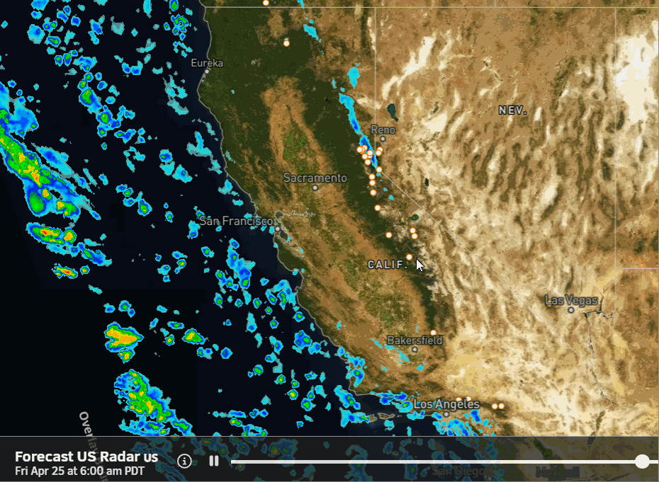
A low-pressure system will drop down along the CA coast on Friday and then will move through central CA on Saturday and into NV on Sunday. That will increase the chances for some rain and high elevation snow showers Friday afternoon, with some steadier showers possible Friday night and Saturday.
Scattered snow showers will continue to be possible Saturday night through Sunday on the backside of the low as it moves into Nevada. The winds look fairly light for a storm through the weekend. Highs drop into the 30s to near 40 degrees at the base, and lows drop down into the 20s at night on the mountain.
The snow levels will start high, up around 7500-8000 ft. Friday afternoon, but then fall for the weekend. Down to 5000-5500 ft. Friday night, up to 6000-7000 ft. Saturday, back down near 5000 ft. Saturday night, and then back up to around 7000 ft. by Sunday afternoon.
That means snow down to the base at night, and under heavier showers through the weekend, with a little rain mixing in at times. Above 7000 ft., we are expecting all snow, with several inches possible. By Sunday evening, we could have storm totals, on top of snow already on the ground, of around 1-4 inches at the base, 4-8 inches near mid-mountain, and 5-10 inches up top.
Long-Range Forecast:
Starting Monday through the long-range high pressure returns to the West, at least into the 1st week of May. That will bring a return of sunny days and milder temperatures.
BA
