Snowfall Report:
The scattered snow showers from Thursday afternoon and Thursday night dropped a dusting to an inch of fresh snow on the mountain.
Friday – Saturday System:
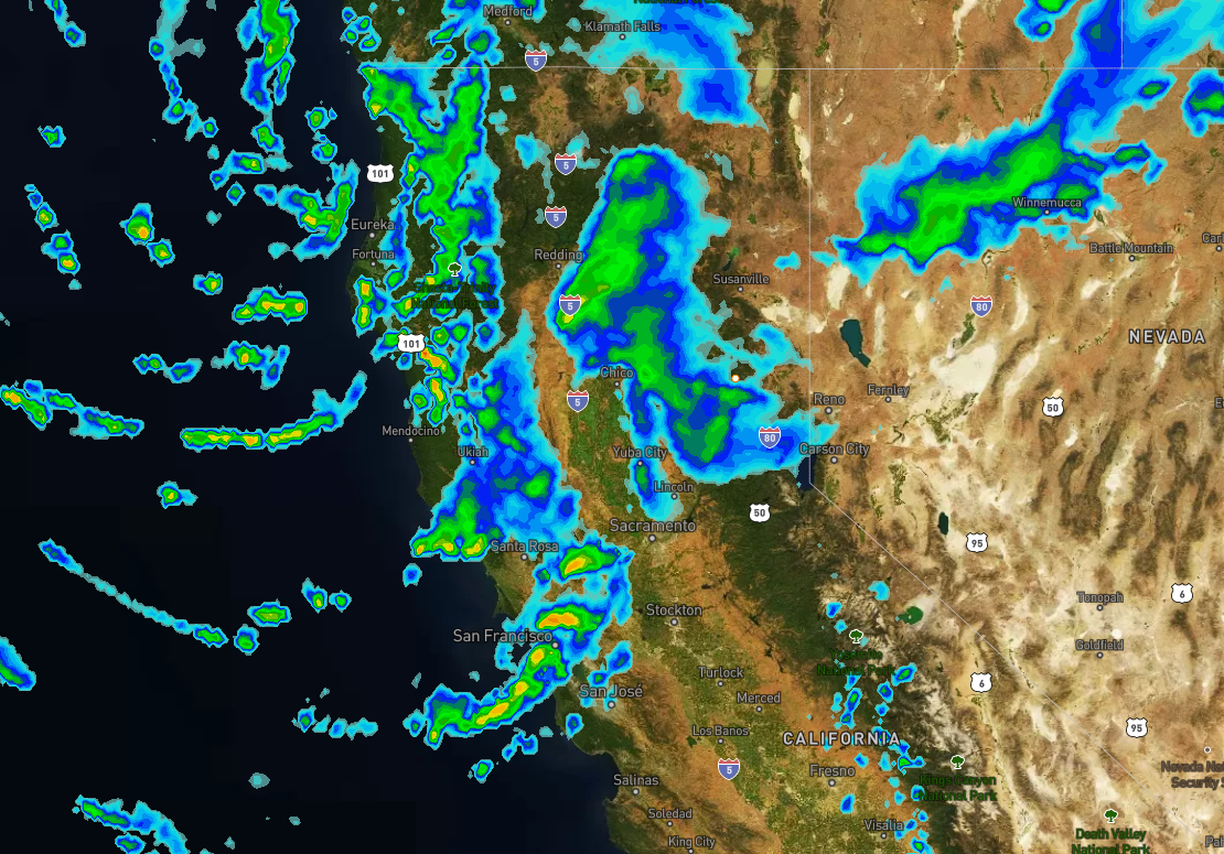
Scattered rain & snow showers continue Friday with snow level rising up to around 7000-7500 ft. by midday. So we could see some rain on the lower mountain to the base on Friday. Ridgetop winds gusting 60-80+ mph from the southwest through the day, so we may see closures of some upper mountain lifts.
A 2nd colder wave moves through Friday night into Saturday morning with snow levels dropping below the base. The snow showers should end by late morning Saturday with clearing and some sun through the afternoon. Colder with highs in the 20s up top and 30s at the base. Ridgetop winds dropping with gusts of 20-30+ mph.
Only expecting a coating to an inch of additional snowfall up top through Friday afternoon. The colder part of the storm Friday night into Saturday morning could drop 1-3 inches at the base and 2-6 inches of new snow on the mountain. The snow becomes drier and more powdery on the mountain overnight into Saturday morning.
Sunday – Tuesday:
For Sunday, we will have mostly sunny skies and lighter winds, with highs warming into the 40s for the lower elevations. It should be a beautiful day.
The tranquil weather pattern continues for Mon-Tue with mostly sunny skies expected. Highs warming into the 50s at the base and 40s up top.
Long-Range:
The pattern may shift by the middle of next week into the first few days of March as a cold trough digs into the West. We should see some cooler air move in starting Wednesday into Thursday, but it should stay dry. Then a weak system or two possibly moving through from the north next Friday & Saturday. We will keep an eye on that all week.
BA


