Tuesday:
East winds pick up Tuesday with gusts of 60-70+ mph up top possibly affecting some upper mountain lifts. Sunny with highs into the 40s on the upper mountain and near 50 degrees at the base.
Wednesday – Saturday:
We stay in a dry pattern into the weekend. We will warm back up for the 2nd half of the week with lighter winds and highs into the 50s on the mountain and near 60 degrees at the base.
Lighter winds through Friday. Saturday ridgetop winds could be gusting 30-40+ mph from the southwest.
Long-Range:
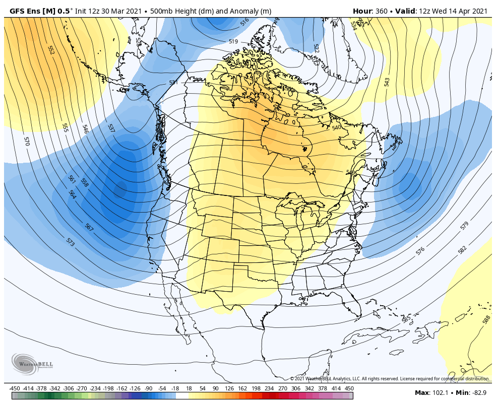
The long-range models continue to show a pattern shift starting Sunday through next week. We may start to cool down with breezy winds for Sunday but still dry.
The next chance for precipitation may be Mon-Wed next week if a system tracks along the CA coast as some forecast models suggest. We should at least cool down next week with highs in the 40s on the mountain.
Additional weak systems possible through the 2nd week of April. We will continue to watch the trends and fine-tune the details on any storms that could bring a return of rain & snow as we get closer.
BA


