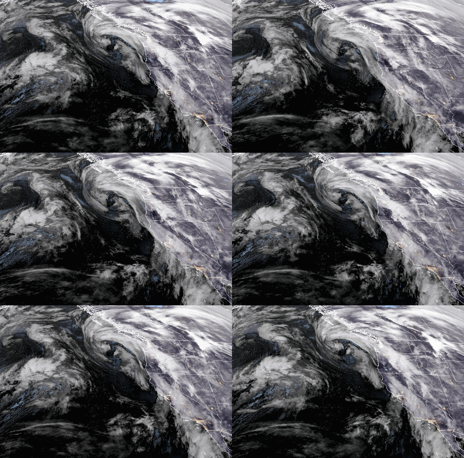
Windy Friday System:
A weak system moves through Friday with some light rain & snow showers possible. Ridgetop winds gusting up to 70-80+ mph Friday morning, which will likely affect some upper mountain lifts. Then falling through the afternoon. Highs in the 30s.
The snow levels could hover near the base up to 6500 ft, so some rain is possible in the village with some drizzle possible up to 6500 ft. Some models show no snow at all while others show enough for a coating of snow on the upper mountain by Friday afternoon.
Saturday Daytime Hours:
We will have a break between storms Saturday with increasing clouds through the afternoon, and slightly milder temperatures. Highs in the 30s on the mountain and near 40 degrees at the base.
Ridgetop winds start light but increase through the day ahead of the next storm, with gusts up to 50-60+ mph from the southwest by late afternoon. That could affect some upper mountain lifts before the end of the day.
Saturday Evening – Sunday Evening Storm:
Snow will move in between 6-8 PM Saturday with snow levels dropping below the base pretty quickly. The heaviest snow falls later Saturday night into Sunday morning as the front moves through. Then light-moderate snow showers into the afternoon becoming more scattered into Sunday evening as the storm winds down.
Highs in the 20s for the upper mountain and low 30s or near 30 degrees at the base. Ridgetop winds from the west gusting up to 60-70+ mph early Sunday morning and then dropping through the afternoon. That could delay some upper mountain lift openings Sunday morning.
No change to the snowfall forecast for Saturday night through Sunday evening.
- 12-18 inches at the base.
- 15-21 inches at mid-mountain elevations.
- 18-24 inches up top.
Next Week:
Monday through Friday the 10th, high pressure builds in over CA. That will bring us a drier pattern with mostly sunny skies most days through the period. Highs in the 30s on the mountain through the week, and near 40 degrees at the base starting Tuesday.
There is a chance that a system moving through to our north and east Wednesday could track just far enough south to brush us with some clouds, a shot of slightly colder air, and a few rain & snow showers Wednesday. We’ll keep an eye on that as half of the models or more show the system missing us to the north.
Long-Range:
The weekend of the 11th – 12th the long-range models show a low-pressure system dropping south down along the CA coast. Some forecast models show the system tracking far enough east to bring some precipitation to the Sierra, while others track it far enough off the coast to miss us completely. We’ll be watching the trends on that as well.
We could continue to see below-average temperatures and weak systems every few days or so into the 3rd week of February. We’ll continue to watch the long-range models for any signs of storms that could bring us appreciable snowfall, land we’ll let you know as soon as we do.
BA


