

Dry through Thursday:
The dry pattern continues through at least Thursday with high pressure continuing to dominate our weather pattern. We will cool down Monday with highs in the 30s, but for the rest of the period we expect highs up into the 40s.
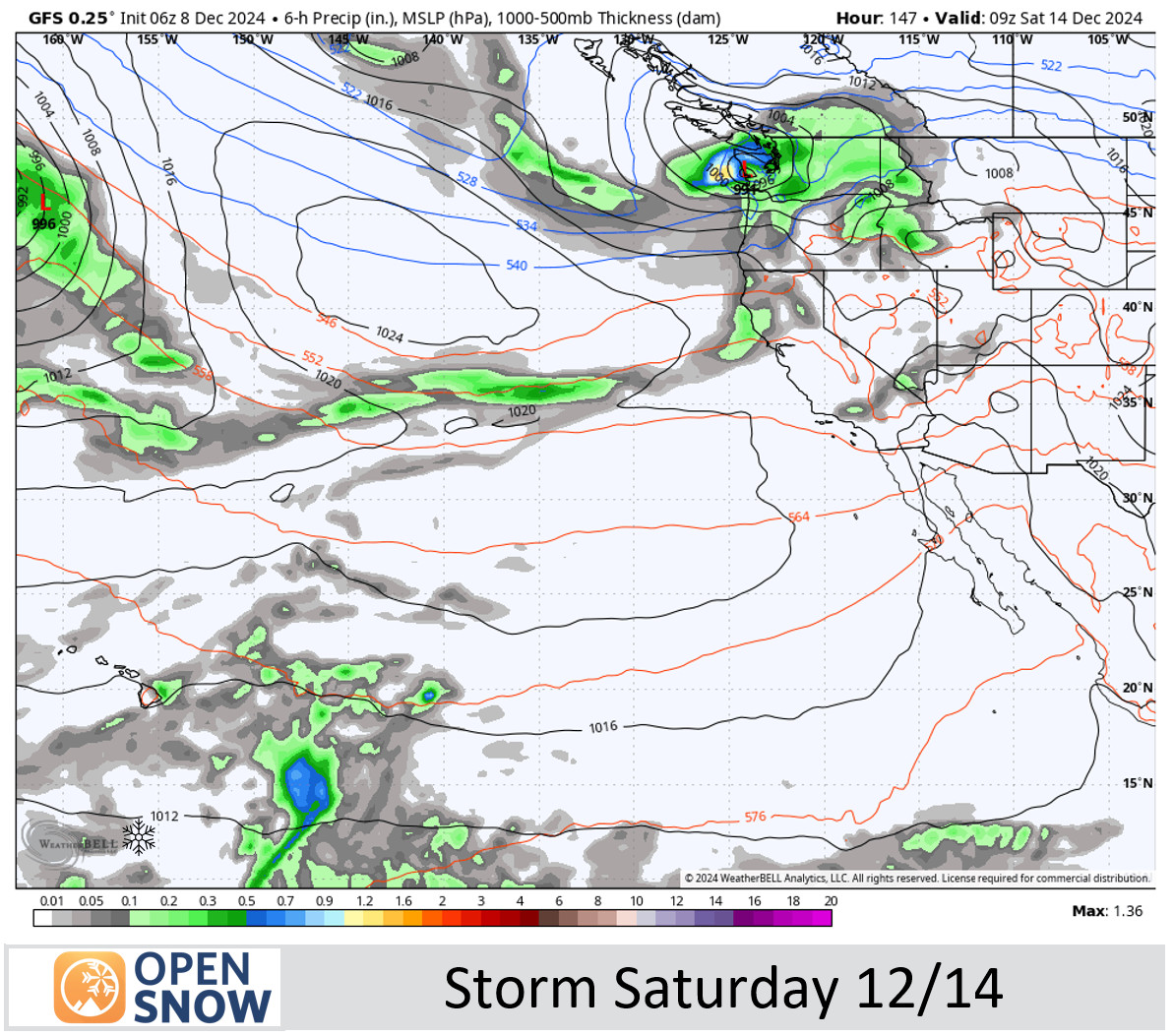
Pattern Change?:
Sunday morning the models are fairly split on whether or not the two storms we have been tracking for Saturday and Monday the 16th will track far enough south to bring some decent snow to the mountains. Some of the forecast models track the storms farther north with little if any precipitation reaching the Tahoe basin, while others bring us two wet storms.
The trend in the last day is toward the drier scenarios on the ensemble mean models, in line with the trend toward a neutral PNA pattern instead of negative. We still have 5 more days to track the first storm before it’s forecast to move in Friday night into Saturday. We’ll continue to watch the trends all week.
Long-Range Forecast:
The long-range models continue to show a large low-pressure trough in the northeast Pacific by the 20th, with an amplified high-pressure ridge over the West. Northern CA is right in the middle between the two.
That trough would be associated with a strong jet stream underneath aimed towards the West Coast and storms would likely be able to push into the backside of the ridge if the trough is close enough to the coast.
But again the models are split and we’ll have to see if the storms will push far enough south to reach the northern Sierra and Tahoe Basin. As of this morning, it appears there is an equal chance of the dry pattern continuing into the last week of December as there is of us seeing a wetter pattern starting by Saturday…
BA
