

Friday Weather:
Partly sunny on Friday as a weak system is washing out off the coast and will spread some clouds inland over northern CA. Highs in the 40s. Ridgetop winds gusting up to 20-40+ mph from the southwest.
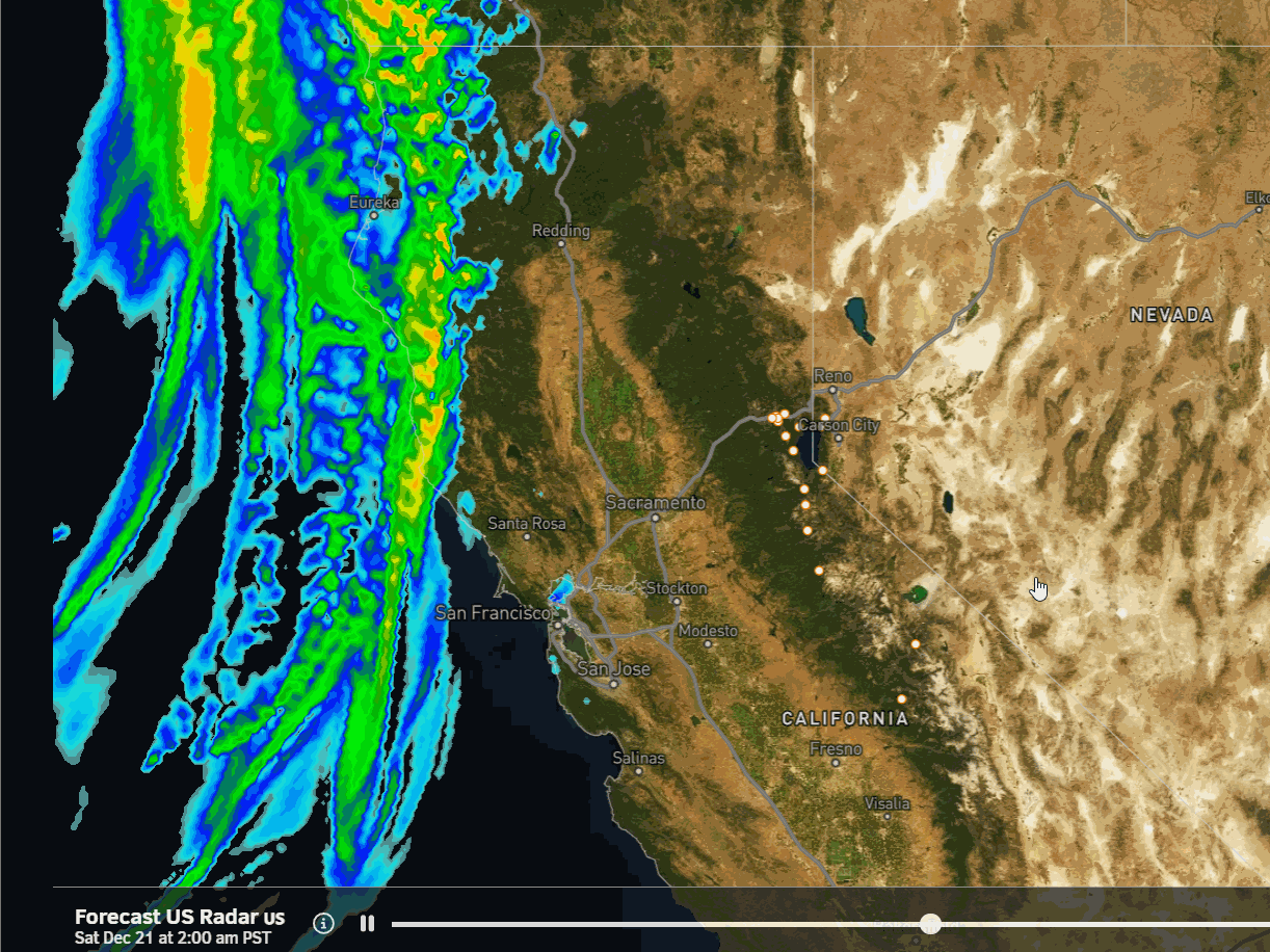
Wet Weekend:
Showers from the first system should push in by late morning/midday on Saturday. Highs will stay in the 40s for the lower elevations near the base and 30s for the upper mountains. Ridgetop winds will be very strong, gusting up to 90-110+ mph over the peaks, which should close quite a few upper mountain lifts.
The showers will continue through Sunday night. Overall light amounts are expected each day and into Sunday night. The difference for Sunday will be that the winds won’t be as strong, only gusting up to 30-50+ mph over the ridges.
Snow levels could fluctuate between 8000-9000 ft. through the weekend. The one time point they may dip around 500 feet lower is Sunday evening. Overall we expect mainly rain below 8000 ft. with maybe some wet snowflakes mixing in above 7000 ft. Above 8000 ft. up top, we could see 1-4 inches of wet snow.
Monday Weather:
Monday we will be between storms with the last weekend system moving away Monday morning and the Tuesday storm approaching. We will see some clouds but I think we could clear enough to see a little sun as well. Highs in the 40s. Ridgetop winds should be lighter for a day.
Christmas Eve Storm:
We could see rain and snow push in between 7-10 AM on Tuesday with strong winds gusting up to 60-80+ mph from the SW in the morning and lowering a little behind the cold front during the afternoon. Heavy snow is possible during the day with falling snow levels. Highs in the 30s.
Tuesday evening we could see a few lingering snow showers behind the front, then clearing later Tuesday night.
Snow levels start really high as the storm starts to move in but fall fast. They could be up around 9000 ft. as precipitation reaches the mountain early Tuesday morning but fall to the base by midday. That means we could see some rain near the base Tuesday morning before a change to snow,
By Tuesday night we could see snowfall totals around 3-7 inches near the base, 5-9 inches near mid-mountain, and 6-11+ inches up top.
Christmas Day:
Wednesday should be a nice day with the sun coming out and cold temperatures, along with lighter winds. Highs in the 30s and rising above freezing for the lower elevations by afternoon. So get on the snow early if you want a shot at a little Christmas morning powder.
Active Pattern Continues:
No changes to the thinking for the pattern that sets up from around the 26th through the 29th-30th. A trough in the northeast Pacific will be close to northern CA on the southeastern edge with the southern edge of the storms reaching the northern Sierra.
The first storm is expected to move in on Thursday and is getting close to coming into the 5-day detailed forecast window over the next day or two. The trend for this storm is a little colder and we could see some snow for the lower elevations with several inches of snow for the mountains. We’ll have more details soon.
We could continue to catch the southern edge of storms every day or every other day or so through the 29th-30th of the month. Looking at the freezing level forecasts this morning for that time period the storms do look a little milder again. We’ll continue to watch the trends as each system gets closer.
Long-Range Forecast:
The long-range models continue to show the strong jet stream retracting away from the West Coast by the end of the month and high pressure building in near the West Coast, and into the first few days of January.
That is expected to shut off the active storm track into the Pacific NW with a drier pattern for the West Coast. Some of the long-range models show the ridge pulling back away from the coast by the 3rd-4th of January, which could help to drive some colder air into the West finally.
We’ll continue to watch the trends for January. The good news is that we will be adding to the snowfall and snowpack over the next 10 days before the potentially drier pattern emerges.
BA
