

Friday – Monday Warm Storms:
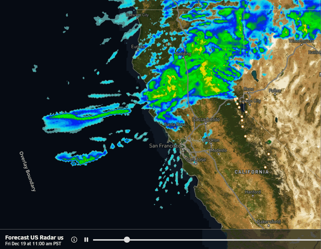
Not much has changed with the atmospheric river that is lowering its aim into the northern Sierra on Friday, with rain arriving for us by afternoon. The latest model runs show this moisture stream sagging a bit south of Tahoe Friday night. Snow levels are expected to rise up to around 9500-10,000 ft. Friday evening, but may dip as low as 8000-8500 ft. early Saturday morning with the sag.
Then on Saturday, we expect a bit of a lull, but rain showers continuing. Snow levels rising up to 8500-9000 ft. or even higher when there’s lighter precipitation. The next AR takes aim at the northern Sierra and Tahoe basin Saturday night into Monday with even heavier precipitation rates expected. Then the AR lifts north Monday night with another lull in precipitation by Tuesday morning.
The snow levels may rise up to 9000-9500 ft. Saturday night. By Sunday evening, they may lower close to 8000-8500 ft. and maybe 7500-8000 ft. later Sunday night into Monday, if the AR sags just a bit south before lifting north Monday night, as several of the models are suggesting. The average this morning is around 7.5 inches of total precipitation over the mountain by Monday night!
With the heaviest precipitation expected to fall Sunday into Monday, and the snow levels possibly dipping during that period, that means wherever the snow line does sit, above it we could see heavy wet snow accumulate pretty fast. All I can do is take an average of the 15 models I’m using in my formulas this season, for precipitation totals and freezing levels, and make my best educated guess.
Above 8000 ft. on the mountain, we could see 20-30+ inches of snow by Tuesday morning, with mainly rain expected below that. Maybe a slushy accumulation between 7500-8000 ft. It’s nearly impossible to forecast the exact snow levels. Could be slightly higher, could be slightly lower.
Tuesday:
We are still expecting a lull between storms briefly during the day on Tuesday. Highs in the 40s for the lower elevations and 30s up on the mountain, which will be the same as Friday – Monday.
Tuesday Night – Christmas Colder Storms:
The latest model runs are as consistent with these storms today as they have been all week. Now that we have these storms into the 5-7 day window, we can start to look at snowfall details and hype them up a little as confidence continues to grow that we’ll see a significant snowstorm for Christmas.
The latest model runs continue to show two main low-pressure systems spinning up off the coast and moving quickly into CA, with precipitation arriving Tuesday night and continuing through Christmas Day, and snow showers lingering into the 26th. There may even be a smaller wave between the storms, keeping the snow going continuously from Tuesday night through Thursday night.
By next Friday morning, the models show 3.5 – 6.0 inches of precipitation falling over the mountain. The Christmas storms are tapping subtropical moisture from the south, so we aren’t expecting really low snow levels, but the latest model runs continue to show just enough cold air from the north mixing into these storms to get snow levels near the base.
Snow levels could start out near to just above 7000 ft. Tuesday evening, but are expected to fall to around 6500-7000 ft. by early Wednesday morning and then to 5750-6250 ft. during the day on Wednesday, which is right near the base. Then holding in the 5000-6000 ft. range through Thursday before dropping lower Thursday night.
I am breaking my rule of putting out a snowfall forecast farther than 5-days, but this is such an important storm that I’m taking a risk out to 7 days this morning. Between Tuesday night and Friday morning, we could see around 2-3 feet of snow near the base, 2.5-3.5 feet near mid-mountain, and 3-4+ feet up top.
That could be just enough snow to pack down and open a lot of ski trails if these storms come through as forecast. BUT this snow is falling on mostly bare ground on the lower mountain So it is going to take the groomers a couple of days to pack this down and make trails, so don’t expect a powder day on Christmas Eve or Christmas Day.
We’ll also have avalanche danger if the storms drop this much snow, and we expect strong gusty winds through Thursday over the ridges. My guess is that the mountain will start to open up a lot of terrain, as conditions improve by next Friday, the 26th, into the weekend of the 27th-28th. They will also be able to start making snow again with the colder air behind the storms.
Long-Range Outlook:
The long-range models continue to show the trough lifting north and high pressure building in beginning on the 27th through at least the 30th. That is expected to shift the storm track to the north with a drier pattern for northern CA. The latest operational model runs show storms staying north through at least the 30th, and below-average precipitation forecasts returning on the ensembles.
The storm track is forecast to shift back south, but will it shift far enough south to bring us a chance to get brushed with a few snow showers at times at best, or far enough south to get storms that could bring accumulating snow into the first week of January?
There’s no way to know for sure, so we’ll continue to watch the trends. Starting with bare ground this week and going into a drier pattern beyond a week is why the Christmas storms are critical. Pray for lots of snow!
BA
