

Snowfall Report
We were expecting 1-3 inches of snow overnight Tuesday night. The mountain picked up 1 inch of new snow as of early Wednesday morning. The snow continues to fall on the upper mountain, but snow is mixing with and changing to rain at the base as expected.
Wednesday – Wednesday Night:
The rain and snow showers continue into Wednesday evening. Then the precipitation intensity picks up after midnight Wednesday night as the next storm approaches from the north. Highs in the 30s. Ridgetop winds continue to gust up to 80+ mph, likely closing some upper mountain lifts. Snow levels between 7000-8000 ft. through Wednesday night possibly dipping to 6500 ft. at times after midnight with the heavier precip.
Heavy wet snow is expected to pile up on the mountain above 7000-8000 ft. We could see 8-17 inches of new snow on the upper mountain above the snow line by Thursday morning, with just rain expected at the base and part of the lower mountain, with a mix in the middle with a few inches of snow possible above 6500-7000 ft.
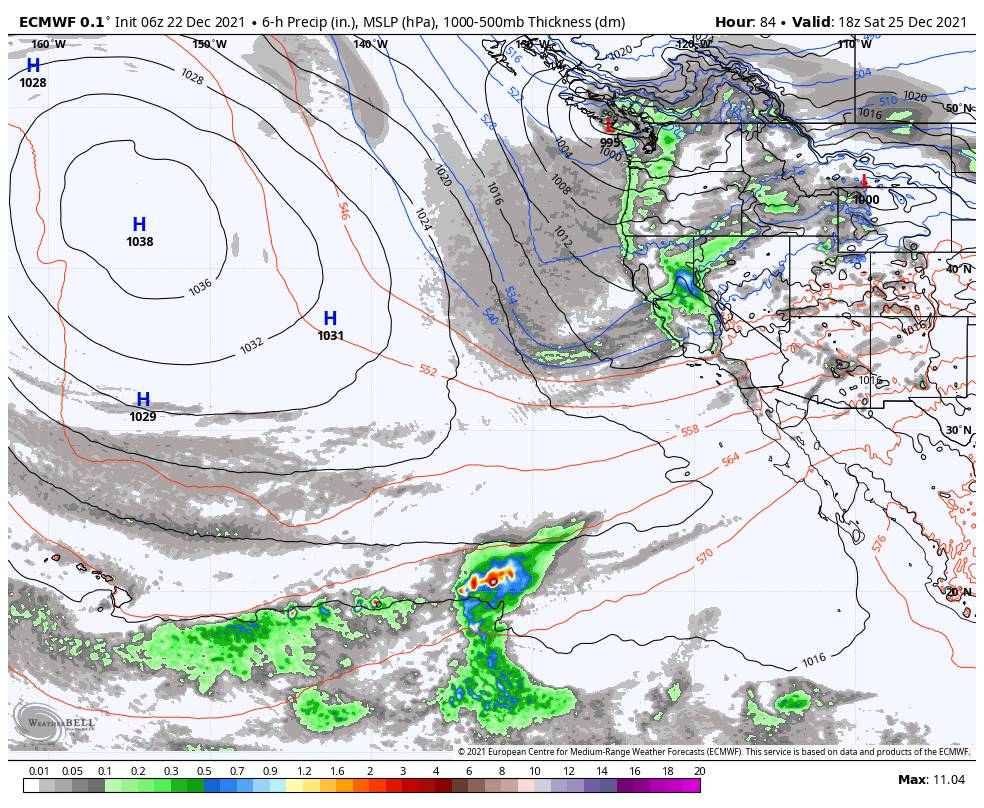
Thursday – Thursday Night:
We won’t see a break between the warmer storm leaving Wednesday night and the colder storm moving in Thursday through Thursday night. The gusty winds continue with mountain top gusts continuing to be up to 90+ mph likely closing some upper mountain lifts again Thursday. Highs dropping into the 20s on the upper mountain. The snow levels look to fall slowly & drop below the base sometime Thursday afternoon/evening.
The snow could be heavy at times into Friday morning. By early Friday morning, we could see 6-12 inches of new snow at the base and 18-30 inches of additional snowfall on the upper mountain. 12-18 inches in the middle as the rain turns to snow a bit earlier than at the base.
Friday – Friday Night:
The heavy snow may wind down for a little while Friday afternoon into Friday night with lighter or scattered snow showers possibly. Snow levels crash Friday below 4000 ft. by Friday evening which means cold powdery snow starts falling on the mountain.
Highs drop into the 20s at the base Friday and teens up top. Mountaintop gusts could continue to be up to 80+ mph Friday. That could continue to close some upper mountain lifts. Another 6-12 inches are possible at the base and 12-18 inches on the mountain by Saturday morning.
The Weekend:
Saturday through Sunday night another cold storm moves through slowly and should continue to bring snow to the mountain the intensity should pick up again Saturday. The gusty winds should continue up top. Ridgetop gusts up of up to 80-90+ mph could continue through Sunday, possibly continuing to close some upper mountain lifts.
The snow could be steady with little break Saturday through Sunday night with snow levels staying below 4000 ft., that’s over 2000 ft. below the base, and even below 3000 ft. at times. Highs in the 20s through the weekend. That will mean the snow that falls will continue to be powdery and will pile up more easily with the cold fluff factor from the high snow ratios, but cold with the winds.
We could see an additional 1-2 feet of snow at the base and 1.5 – 2.5 feet on the mountain. A week from now there should be plenty of snow on the mountain if the forecasts pan out as they currently look. In total up to 4-8 feet of new snow is possible on the mountain by Monday, and 2-4 feet at the base.
Long-Range:
The storm door looks to stay open, with another storm possible for Monday into next Tuesday the 28th. The storms could continue through the end of the month.
More details on each as we get closer…
BA
HELPFUL TRAVEL LINKS
Please be advised that chain controls, road closures, poor visibility, and extreme delays will likely be a part of this week’s travel. Please know before you go, and use your best judgment in deciding when to travel.
SAVE THESE LINKS & USE THEM TO PLAN YOUR TRAVEL DAY.
- For the most in-depth, detailed forecast, visit the NOAA Weather forecast for Olympic Valley. Adjust the location according to your route.
- To view highway webcams, closure, chain control, and incident information in California, use the Caltrans Quickmap Website & App
- To view highway webcams, closure, chain control, and incident information in Nevada, use the NV Roads 511 Website & App
- To check the status of California highway closures, use Caltrans Highway Status
- For local information, check the CHP – Truckee Facebook Page. They are an active, responsive, and informative resource.
WINTER DRIVING
WINTER DRIVING CONDITIONS IN THE SIERRA CAN CHANGE RAPIDLY, LEADING TO WHITEOUTS, ACCIDENTS, AND TRAFFIC DELAYS.
If you simply must travel for the holidays, here are some things to remember.
- Have extra water, food, and warm clothing in the car with you. Be prepared to be waiting for long periods of time.
- Carry chains and know how to use them.
- Do not leave the area without a full tank of gas.
- Become familiar with this list of Winter Driving Tips.
PALISADES TAHOE CONDITIONS INFORMATION
AS MENTIONED ABOVE, THE STORM CYCLE WILL LIKELY IMPACT LIFT OPERATIONS. THIS IS WHERE YOU’LL FIND THE BEST INFORMATION ON MOUNTAIN CONDITIONS.
- Download the Palisades Tahoe App for real-time info on weather, lift status and parking.
- Follow the Mountain Ops Twitter for up-to-the-minute updates.
- Check the Palisades Tahoe Snow & Weather report
- Check the Lift & Grooming Status
- Check the Palisades Tahoe Weather Blog (updated daily)
