

Sunday – Tuesday Forecast:
Clearing with mostly sunny skies and still cold on Sunday. Highs in the 30s for the lower elevations and 20s for the higher elevations. Sunny Monday and Tuesday as well, but with highs warming into the 40s for the lower elevations by Tuesday.
New Year’s Eve – New Year’s Day:
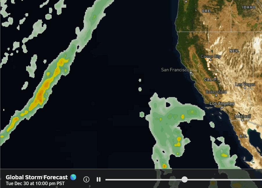
The forecast for New Year’s Eve is not looking as good as we get closer to midnight, as the latest model runs now show some rain showers reaching the northern Sierra by late afternoon-evening on Wednesday, and continuing through the evening. Currently, they still don’t look heavier until after midnight, but be ready for wet weather into New Year’s Day.
The steadiest showers are expected on Thursday, and then becoming more scattered Thursday night. The snow levels start above 10,000 ft. Wednesday afternoon/evening, but then could fall to around 8000 ft. Thursday night, and dip near 7000 ft. by Thursday afternoon if we see some heavier precipitation move through.
We could see around 3-7 inches of wet snow above 8000 ft. by Friday morning, and a coating up to a couple inches of mush is possible between 7000-8000 ft., with only rain expected at the base through Thursday night.
Friday – Saturday Storm:
Another storm spins up on the eastern Pacific and moves in right on the heels of the first storm sometime on Friday into Saturday. We will have to iron out the arrival time this week, as the latest model runs vary between Friday afternoon and Friday night. Most models clear the storm by next Sunday morning.
This storm looks to be wetter and colder. The snow levels on the latest model runs stay around 7000-7500 ft. during the day on Friday, but as the heavier precipitation moves in Friday night, they drop below the base to 5500-6000 ft. Then even lower on Saturday.
We could see 12-18+ inches of additional snowfall on the upper mountain with this storm, 8-12+ near mid-mountain, and 4-8+ inches at the base by next Sunday morning. We will have a lot of fine-tuning to do all week with the precipitation and snow level forecasts, which both affect the snowfall forecasts.
Long-Range Outlook:
The long-range models show the trough hanging around near/over the West Coast through at least the 7th. That will keep the storm door open, with another storm or two possible through the 7th, before the pattern could change. We’ll be tracking these storms closely as they get closer.
The longer-range models continue to show the pattern shifting during the 2nd week of January, with high pressure building back in over the West and CA. That means a drier pattern could develop beyond the 7th/8th of January.
There is a lot going on globally with the weather patterns, and the long-range models are showing some strange things on some model runs, so my confidence in when and how long a dry pattern shows up and lasts is currently low.
BA
