

Mostly sunny skies each day continue through Thursday, with highs in the 50s to near 60 down at the base.
Weekend Showers:
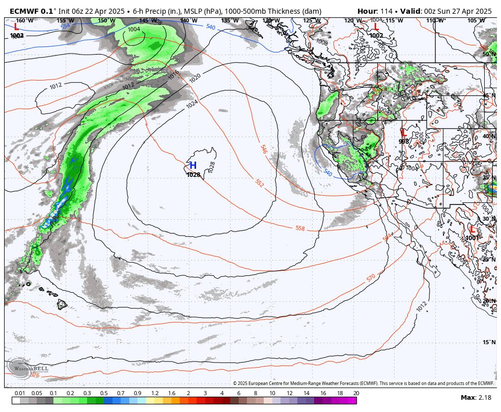
In the last couple of posts, we talked about the pattern change forecast for the 25th – 27th. There hasn’t been a change with that as the trough and associated low-pressure system are forecast to move through the West Coast Friday – Sunday.
Previous forecasts showed us only getting brushed by a few rain showers, but the latest model runs today show the center of the low tracking through northern CA, across the Sierra, and into Nevada. There is colder air at the center of the low, so the closer it tracks, the lower the snow levels.
The latest track is wetter as well. The European model is the most aggressive today, but the GFS model is not far behind. We could see showers by Friday afternoon with snow levels falling to around 7000-7500 ft., and then showers could continue into Sunday morning, with snow levels falling to near base level at night.
This is why snowfall numbers are starting to show up today on the 5-day snowfall forecasts. We will continue to watch the trends, but right now the trend is towards light accumulations possible for the upper mountain each day, and maybe a few up to several inches up top by Sunday morning.
I’ll do a more detailed snowfall forecast over the next few days if this trend continues…
Long-Range Forecast:
By Monday the 28th into the first week of May, the long-range models show high pressure over the West and the pattern becoming quieter and milder again.
We’ll have to see if we can add a few more inches to the season snowfall totals before that happens.
BA
