

Tuesday Sun:
Mostly sunny for Tuesday with highs in the 40s for the lower elevations and 30s for the higher elevations.
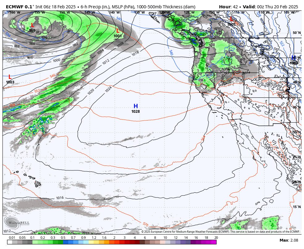
Wednesday Showers:
We will see clouds and gusty winds for all locations with ridgetop winds gusting up to 60-80+ mph from the west during the morning, and then slowly declining through the end of the day. Highs in the 30s.
The snow showers could push in between 10 AM – 1 PM and then clearing out Wednesday evening. The snow levels will be high as the showers approach but could fall to around 6800-7300 ft. by 10 AM and 6000-6500 ft. by 1 PM. Then dropping below 6000 ft. Wednesday evening.
That should bring some rain showers to the base with a little snow mixing in later in the day. The latest precipitation totals would bring around 0-1 inches for the base, and 1-2 inches for the upper mountain.
Springlike Weather:
Strong high pressure will build in over CA by the weekend. We will see sunny skies each day starting on Thursday and continuing through the weekend and into next week. Highs in the 40s for Thursday and Friday, and then 50s for the weekend into next week! About 3 degrees colder for every 1000 ft. you go up above the base.
Long-Range Forecast:
The long-range models have been trending toward the solution of the high-pressure ridge remaining near/over the West Coast through the end of the month into the first few days of March. We could continue to see the dry and milder pattern throughout the period.
The longer-range models are suggesting that the ridge will shift off the coast during the 1st week of March by the 5th-6th, with a trough shifting a bit west into the West. That could allow some colder air into the West, and could possibly open up the door slightly to a storm sneaking in.
The ensemble mean models do continue to show a more active pattern during the 2nd week of March, which they have been showing consistently. We’ll continue to watch the trends and will let you know when we see the next storm or an active pattern returning.
BA
